Welcome to Classical Images!
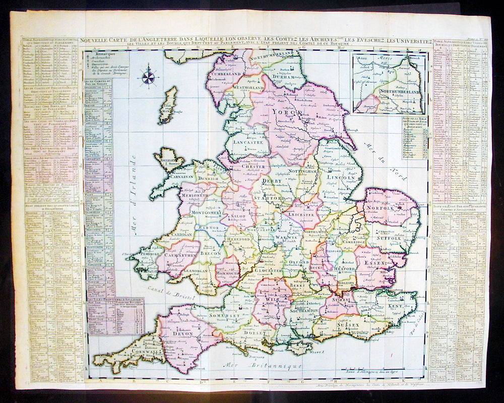
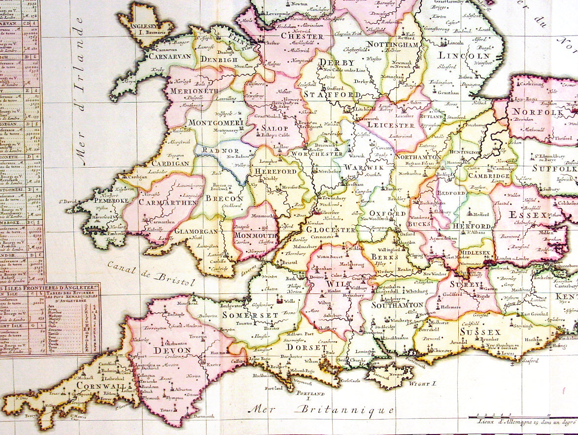
Description: This large fine beautifully hand coloured original antique map of England & Wales - with side text on all the different counties - by Henri Abraham Chatelain in 1720 was published in his famous Atlas Historique.This is a magnificent map with bright hand colouring, clean strong sturdy paper and a heavy clear impression.
The Atlas Historique published by Henri Chatelain was part of a major work of its time, an encyclopedia in seven volumes, including geography as one of its main subjects. The text was by Nicholas Gueudeville and the maps by Chatelain. The Atlas included one of the finest map of America (four sheets) surrounded by vignettes and decorative insets. The Atlas Historique was completed between 1705 and 1720, further issues were published up to 1739. The series was published in Amsterdam, with Chatelain’s maps based on those of G. Delisle. (Ref: M&B; Tooley)
General Description: Paper thickness and quality: - Heavy and stable Paper color: - White Age of map color: - Early Colors used: - Pink, green, yellow, blue General color appearance: - Authentic Paper size: - 25 1/2in x 20 1/2in (650m x 430m) Plate size: - 25in x 19 1/2in (635m x 495mm) Margins: - min. 1/2in (10mm) Imperfections: Margins: - None Plate area: - Folds as issued Verso: - None