Welcome to Classical Images!
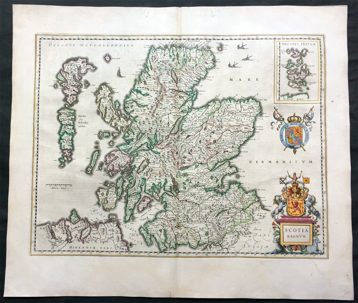
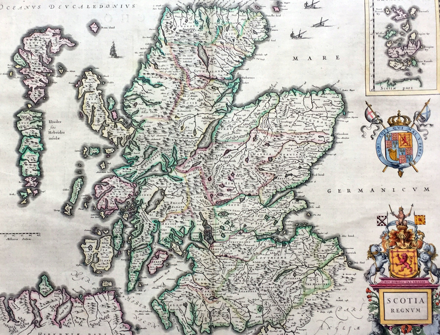
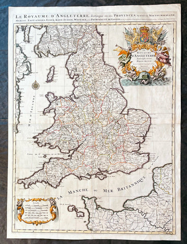
Description:This large beautifully hand coloured original antique map of Scotland was published in the 1646 Dutch edition of Joan Blaeu's Atlas Novus.
General Description: Paper thickness and quality: - Heavy Paper color: - White Age of map color: - Original Colors used: - Yellow, pink, red, blue, green General color appearance: - Authentic Paper size: - 22 3/4in x 19 3/4in (580mm x 500mm) Plate size: - 20in x 15 1/4in (510mm x 385mm) Margins: - Min 1in (25mm) Imperfections: Margins: - None Plate area: - None Verso: - None
Background: When the Blaeu's published Volume V - GB & Ireland - of Atlas Novus, Scotland became one of the best-mapped countries in the world. Volume V contained forty-eight plates showing forty-nine separate maps of Scotland (plus a map of Ptolemy British Isles and six maps of Ireland). The first two plates from the atlas show the entire country ancient and modern, whilst the remaining forty-six plates cover most Scotland in forty-seven regional maps. In total the regional maps locate some 20,000 different place names. A clue as to the reason for this extraordinary explosion of geographical information is to be found on thirty-six of the regional maps, which all carry engraved credits to Timothy Pont (1524-1606) Pont was responsible for surveying the greater part of Scotland between 1583-1600, the resulting Pont Manuscript maps were never published but were put to good use some fifty to seventy years later by Robert Gordon and Joan Blaeu. (Ref: Koeman; Tooley; M&B)