Welcome to Classical Images!
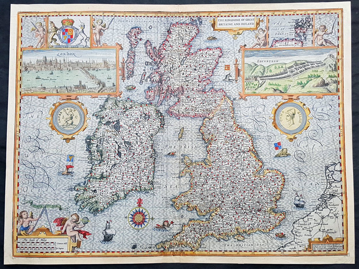
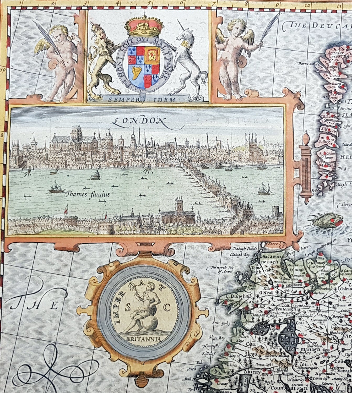
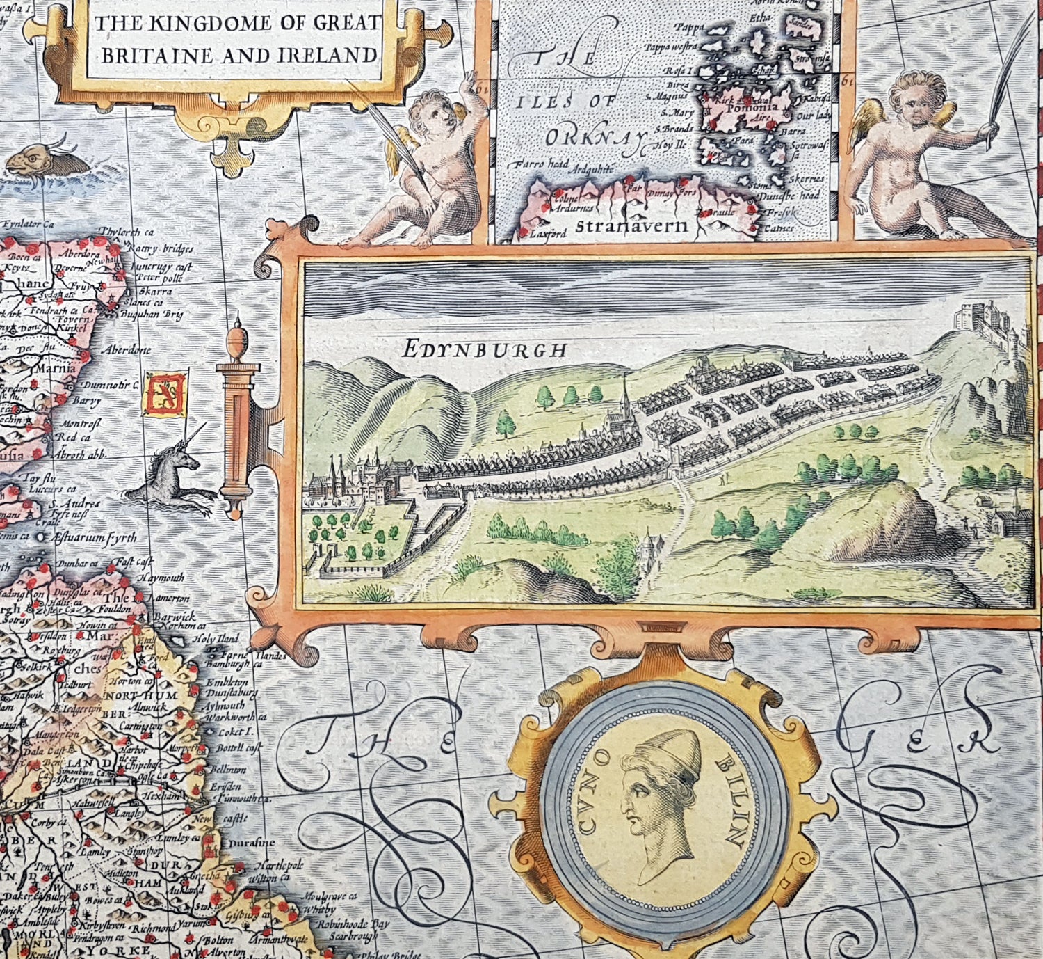
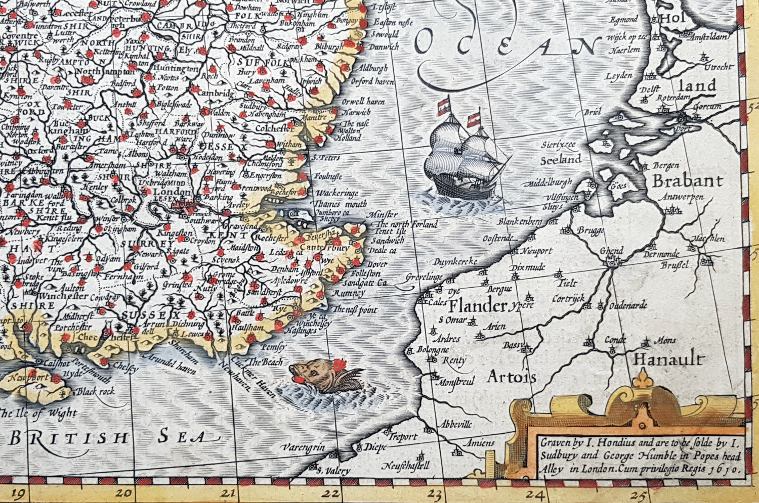
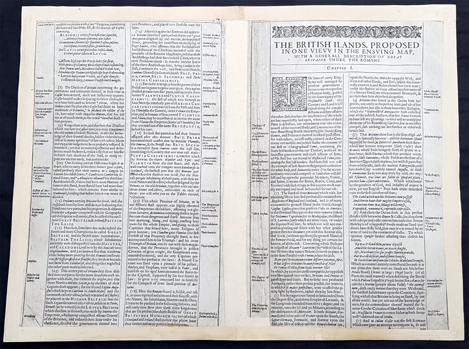
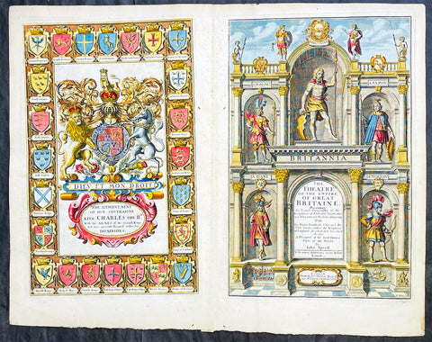
Description:This magnificent, beautifully hand coloured, original copper-plate engraved antique map (a true rare 1st edition - Shirley 316, catch word wee on verso) by John Speed, was engraved by the famous cartographer Jodocus Hondius and published by Sudbury & Humble in Speeds 1611-12 edition of his atlas Theatre of the Empire of Great Britaine.A beautiful example of the first state of one the most visually striking maps ever produced of the British Isles, embellished with finely detailed views of both London and Edinburgh. The strong printing impression of this example highlights the exquisite engraving of this map, particularly the delicate detail of the two inset views.
General Definitions:Paper thickness and quality: - Heavy and stablePaper color : - off whiteAge of map color: - OriginalColors used: - Yellow, green, blue, pinkGeneral color appearance: - AuthenticPaper size: - 21 1/2in x 17in (545mm x 435mm)Plate size: - 18 1/2in x 14in (470mm x 355mm)Margins: - Min 1/2in (12mm)
Imperfections:Margins: - All margins professionally restored from printed bordersPlate area: - Small repair to bottom centerfoldVerso: - Centerfold re-enforced.
Background:John Speed spent 15 years gathering materials for his atlas of the British Isles, in which this map was the first to appear. Moreover, Speed went to considerable lengths to secure a top engraving talent—a fascinating story in itself--to produce this and many of the other maps in this atlas. Speed sent the visual, raw materials for his maps—drafts of the map themselves and design sketches--to Amsterdam to be engraved by Jodocus Hondius, who at the time was one of the most prominent and successful map publishers in all of Europe. Hondius, however, was well known to English map publishers, as he had worked as an engraver for hire in London in the 1580’s, where he had fled due to religious persecution in his homeland. Still, it is surprising that Speed was able to secure the services of Hondius at the height of his career, and, in fact, Hondius died shortly after completing this project. Hondius’ distinctive style can be seen in this map in its stippled seas and in its decorative detail that is rich without being disorganized or distracting.The map itself of England was based on that of Saxton, who produced some years earlier the very first atlas of Great Britain. Ireland and Scotland were based on maps by Hondius and Mercator, respectively. The view of London was modeled after a c. 1600 drawing by C. J. Visscher, which was not published until 1616. The Edinburgh view is an adaptation of an earlier manuscript showing the city under siege in 1544.