Welcome to Classical Images!
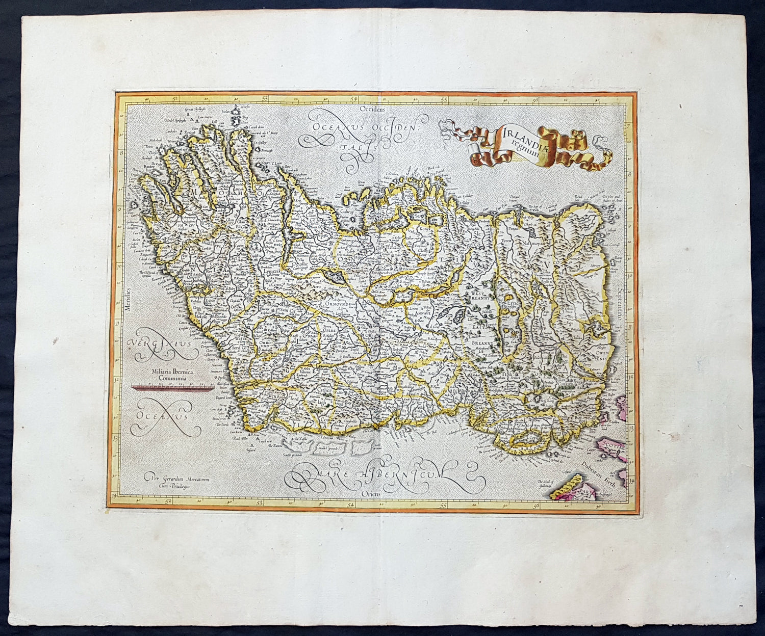
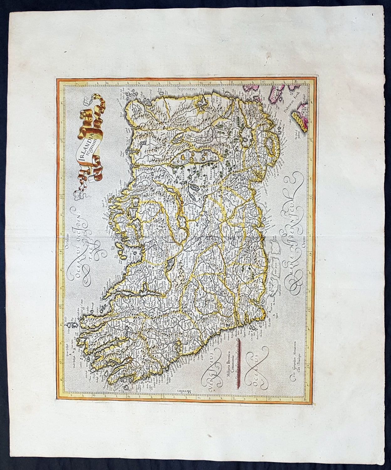
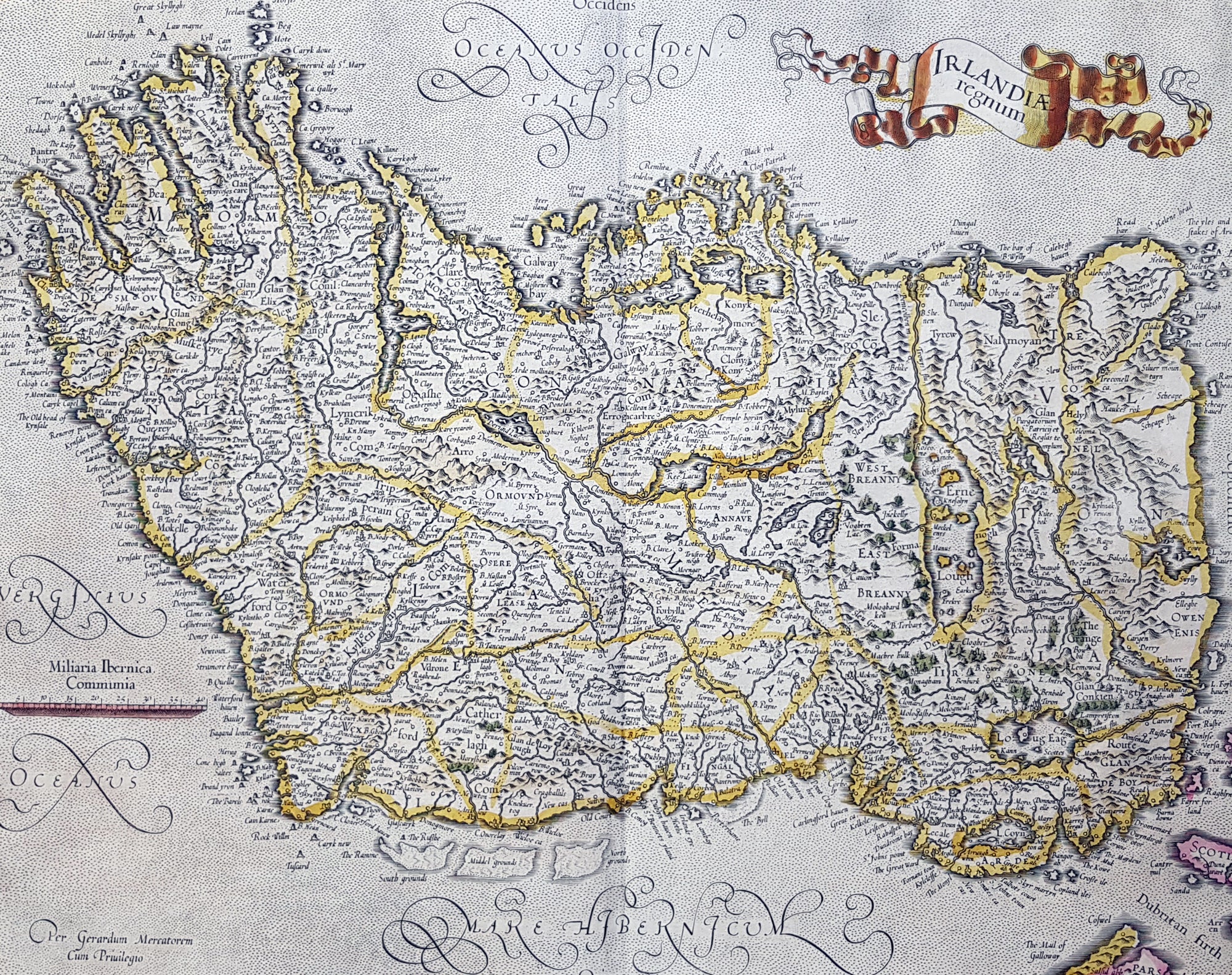
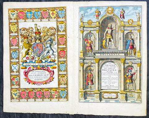
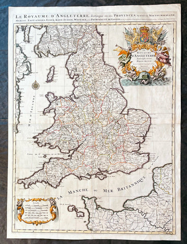
Description:This fine beautifully hand coloured original antique map of Ireland by Gerald Mercator was published by Rumold Mercator & Jodocus Hondius in the early 1628 French edition of Mercators Atlas.This map is magnificent with beautiful original hand colouring, large original margins with a heavy impression on clean, stable paper. Original colouring such as this is scarce and hard to find.These maps, published in the early editions of Mercators atlas, are the original maps drawn and engraved by Gerald Mercator in the mid to late 16th century and were published by his sons Rumold & Henricus, after his death in 1595. After two editions the plates were purchased by Jodocus Hondius in 1604. He continued to publish them until the mid 1630\'s when some of the plates were re-engraved or replaced by Jan Jansson and Henricus Hondius.
General Definitions:Paper thickness and quality: - Heavy and stablePaper color : - off whiteAge of map color: - OriginalColors used: - Orange, yellow, blue, redGeneral color appearance: - AuthenticPaper size: - 22 1/2in x 19in (570mm x 485mm)Plate size: - 17 1/2in x 14in (420mm x 330mm)Margins: - Min 2in (50mm)
Imperfections:Margins: - NonePlate area: - NoneVerso: - None
Background: The earliest maps of Ireland up to the year 1500 or so share the shortcomings of those of the rest of the British Isles especially as represented on world maps. It was not to be expected that lands literally on the very edge of the known world could be depicted with any accuracy; very often one feels that the cartographers or engravers placed the islands in the nearest available space consistent with their imagined position. Even in the first printed Ptolemaic map there is still much distortion in Ireland\'s shape and geographical position but, on the other hand, a quite surprising number of place names and other details are shown, as many, in fact, as in the rest of Britain put together. This detailed knowledge is not as puzzling as it might appear, for the Ptolemy maps, at least the later editions from 1513 onwards, were based on Italian portulan charts and these, in turn, reflected knowledge gained during the long commercial relationship which had existed between Italy and Ireland ever since the thirteenth century. The distortions on land-surveyed maps remained uncorrected until late in the seventeenth century but a quite accurate coastal outline was given in the marine atlases of Waghenaer, Dudley, Blaeu and later Dutch chart makers.Apart from a few manuscript maps and very rare maps printed in Rome and Venice (George Lily, 1546, and others in the period 1560-66) Ireland is shown on Mercator\'s large map of the British Isles (1564), and in his Atlas (1595) and as a separate sheet in the Ortelius atlases (from 1 573). The most important map, however, was compiled by an Italian, Baptista Boazio, probably in the 1 5 8os. This has survived in manuscript form and may have been used by Pieter van der Keere for a map published by Jodocus Hondius in 1591. Boazio\'s map was subsequently published by John Sudbury, who later sold Speed\'s maps, and this version was included in editions of the Ortelius atlases from 6oz onwards. The Boazio map is a quite splendid map, very decorative, some copies even showing an Eskimo complete with kayak and hunting spear. Thereafter the trend is familiar: Camden, Speed, Blaeu, Jansson, Sanson and others of the Dutch and French schools all included a general map or maps of the Irish provinces in their atlases. Speed\'s map of the whole of Ireland was based at least partly on surveys by Robert Lythe (c.1570) and Francis Jobson (c.1590) and included figures in national costume; it was for long regarded as the best map available and was much copied by publishers in other countries.In 1685 the first atlas of Ireland to match Saxton\'s At/as of Eng/andand Wales was published by Sir William Petty as Hiberniae Detineaho, the result of a highly organized and detailed survey (the \'Down\' survey) carried out in the years following 1655. Re-issued in miniature form soon afterwards by Francis Lamb, Petty\'s Atlas was widely used as the basis for practically all maps of Ireland produced by English, French, Dutch and German publishers in the following century. Apart from re-issues of Petty\'s Atlas and its many copyists there were maps by George Grierson, a Dublin publisher, John Rocque, the Huguenot surveyor and engraver who spent some years in Dublin, and Bernard Scale, Rocque\'s brother-in-law.Towards the end of the century many large-scale maps were published but, as in England, private mapping was gradually overtaken and eventually replaced by the Ordnance Survey maps produced between the years 1824 and 1846.(Ref: Koeman, Tooley)