Welcome to Classical Images!
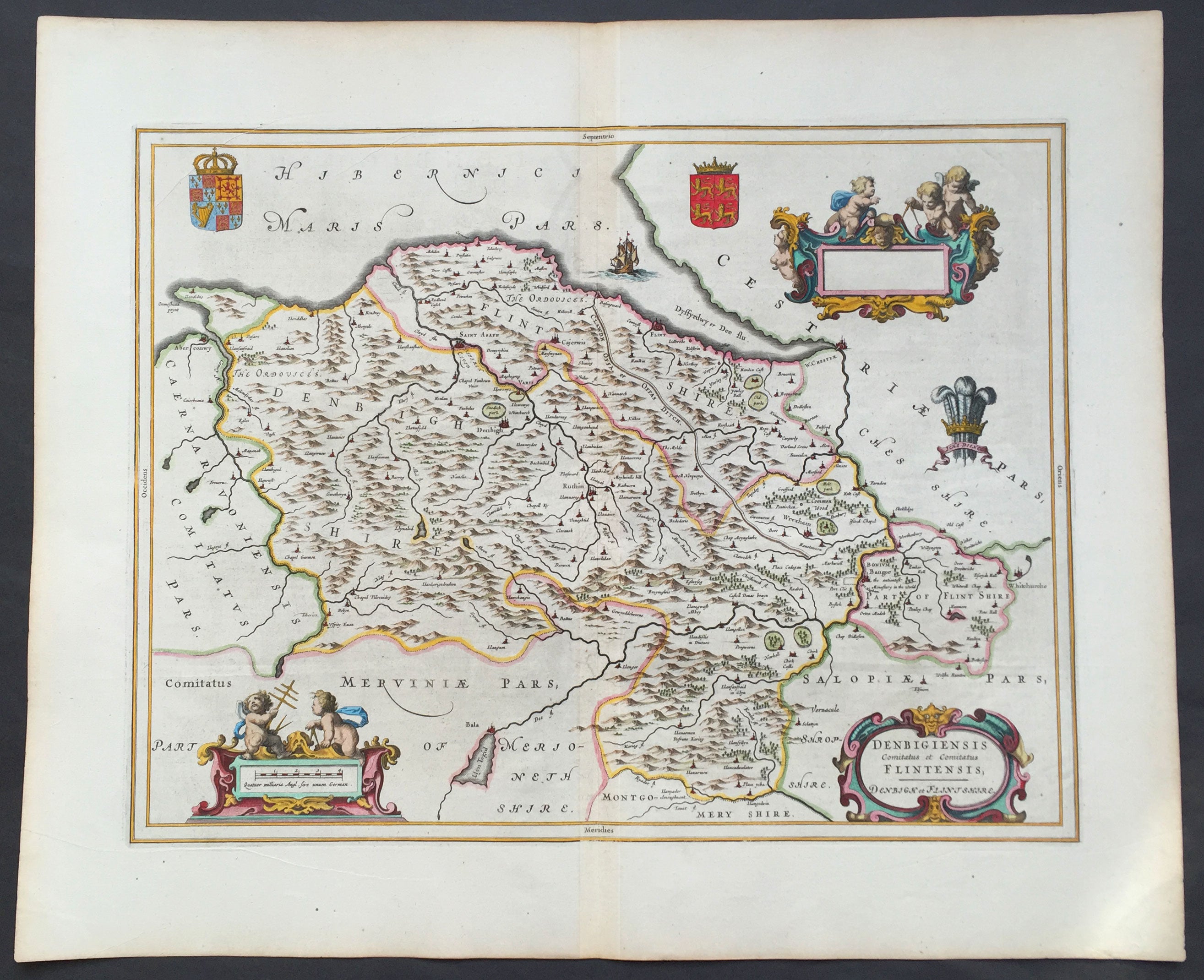
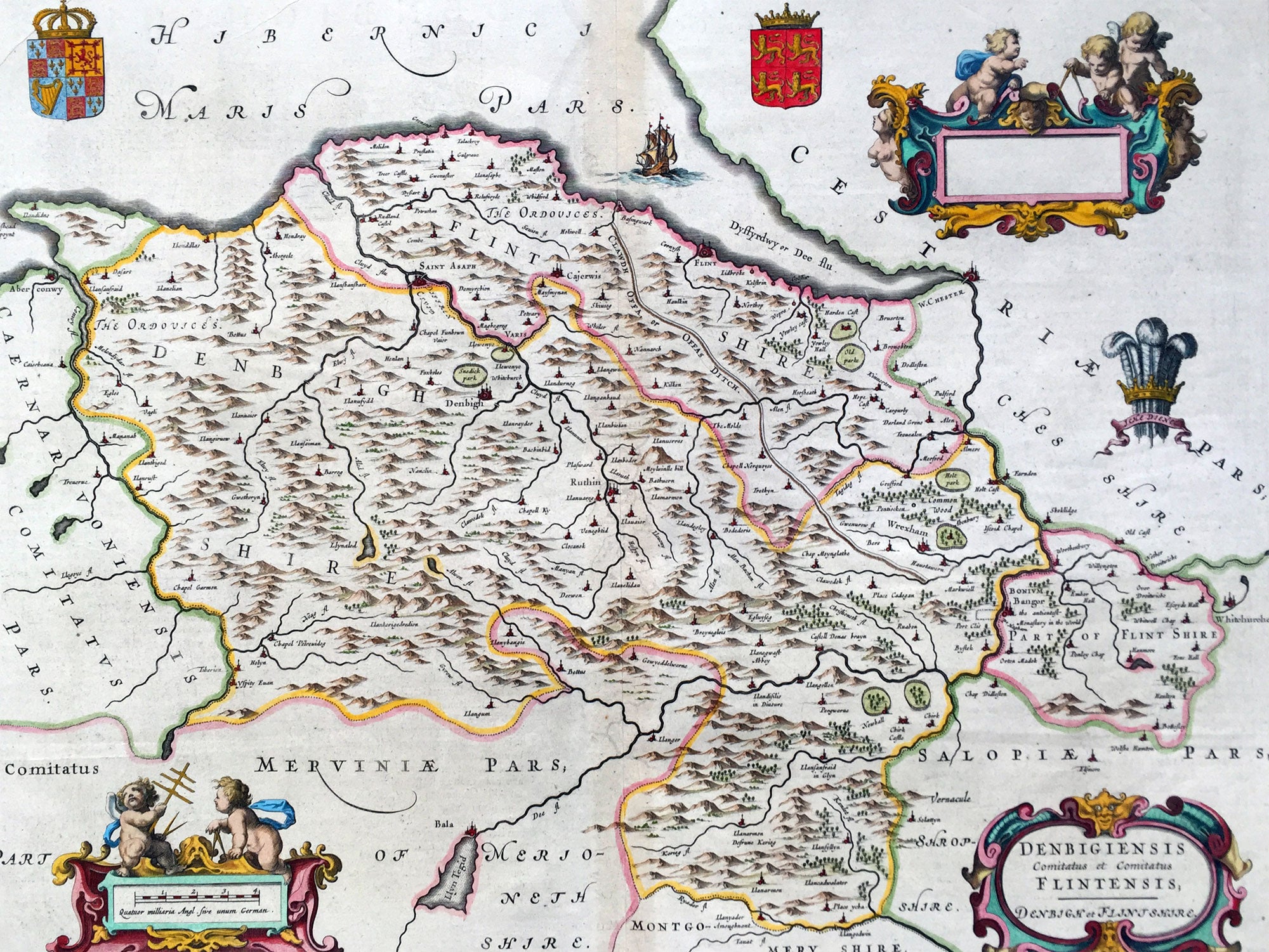
Description:This beautifully hand coloured original antique map of the Welsh counties of Denbigh & Flintshire was published in the 1647 Dutch edition of Joan Blaeus Atlas Novus. Blaeu's reference for the topographical data for this map derive from John Speeds maps of Great Britain from the 1611 Empire of Great Britaine - the beautiful decoration, though, is distinctly Blaeus.
Background: Blaeu is one of the most revered map makers of all time and it is easy to see why in this beautiful original map. The high level of the topographical detail, the quality of the paper, the artistic professionalism of the engraving and the beauty of the original hand colouring combine to produce a work of art that is both functional and of exceptional beauty. (Ref: Koeman; M&B)
General Description: Paper thickness and quality: - Heavy and stable Paper color: - White Age of map color: - Early Colors used: - Yellow, pink, red, blue, green General color appearance: - Authentic Paper size: - 24in x 20in (610mm x 510mm) Plate size: - 19 1/2in x 15in (495mm x 380mm) Margins: - Min 1in (25mm) Imperfections: Margins: - None Plate area: - None Verso: - None