Welcome to Classical Images!
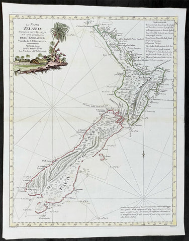
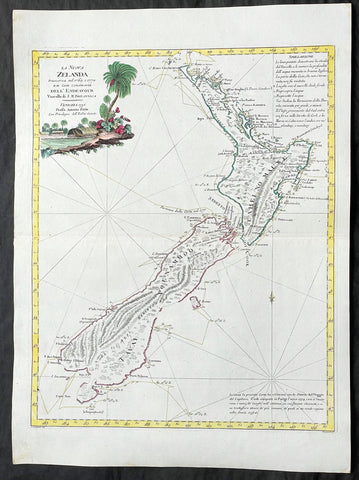
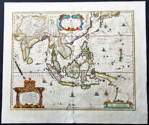
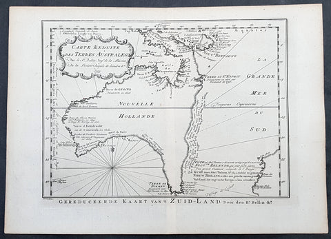
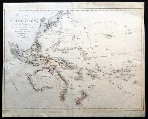
Description:This fine beautifully hand colured original antique German map of Australia and the East Indies & Africa was published Johann Justine Gebauers in 1760 prior to the discoveries of Captain Cook some 20 odd years later. Unusual and scarce map of the region.This is a beautiful map, quite highly detailed and wonderfully hand coloured. Australia shown joined to PNG with notes on the explorers Dampier, de Wit and Van Nuits all reaching Australia in the previous 17th century. The West coast of New Zealand is shown with the earlier discoveries. (Ref: M&B; Tooley)
General Description: Paper thickness and quality: - Heavy & stable Paper color: - White Age of map color: - Early Colors used: - Blue, yellow, pink General color appearance: - Authentic Paper size: - 15in x 9in (380mm x 230mm) Paper size: - 14in x 8 1/2in (355mm x 215mm) Margins: - Min 1/4in (10mm)
Imperfections: Margins: - None Plate area: - Folds as issued Verso: - None