Welcome to Classical Images!
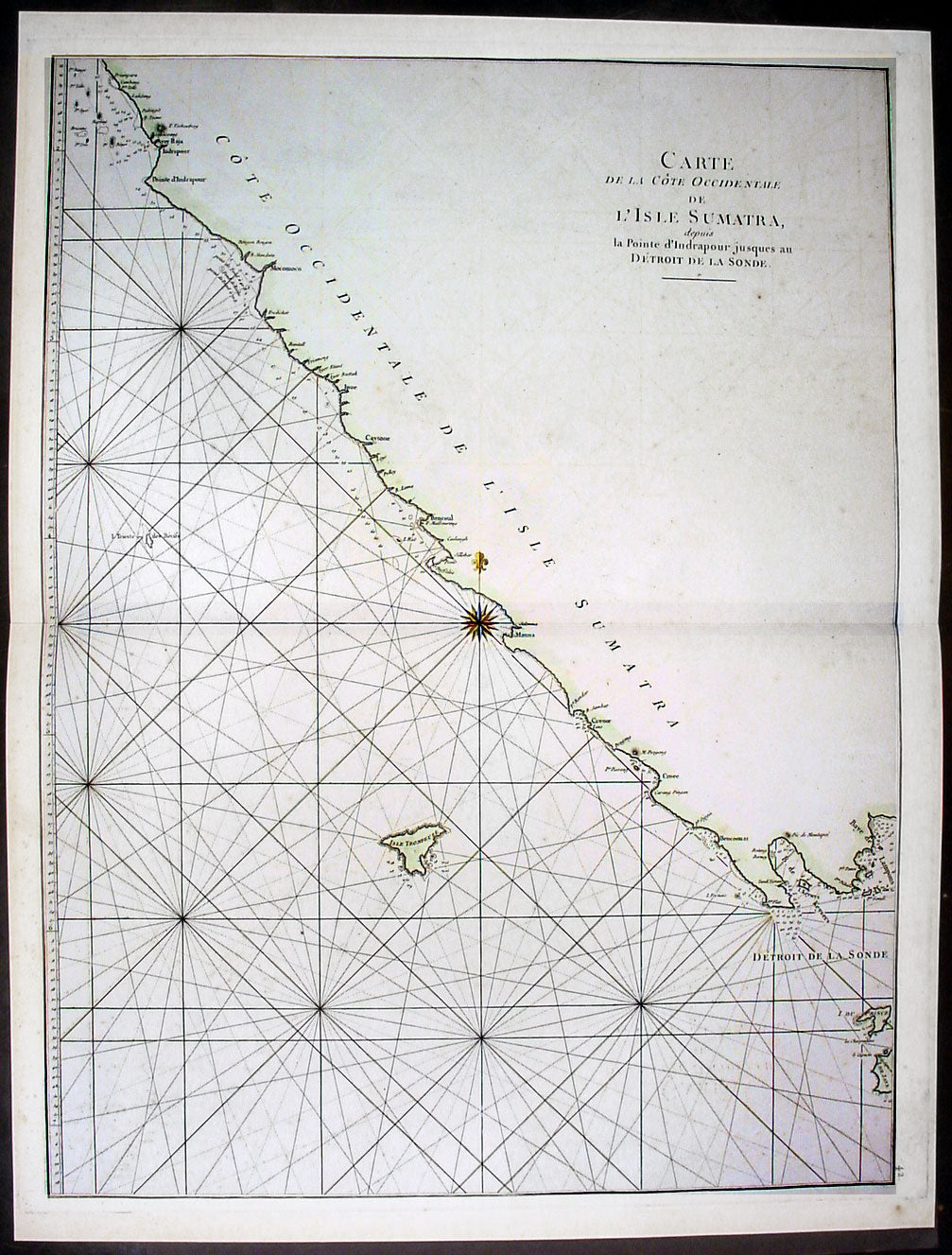
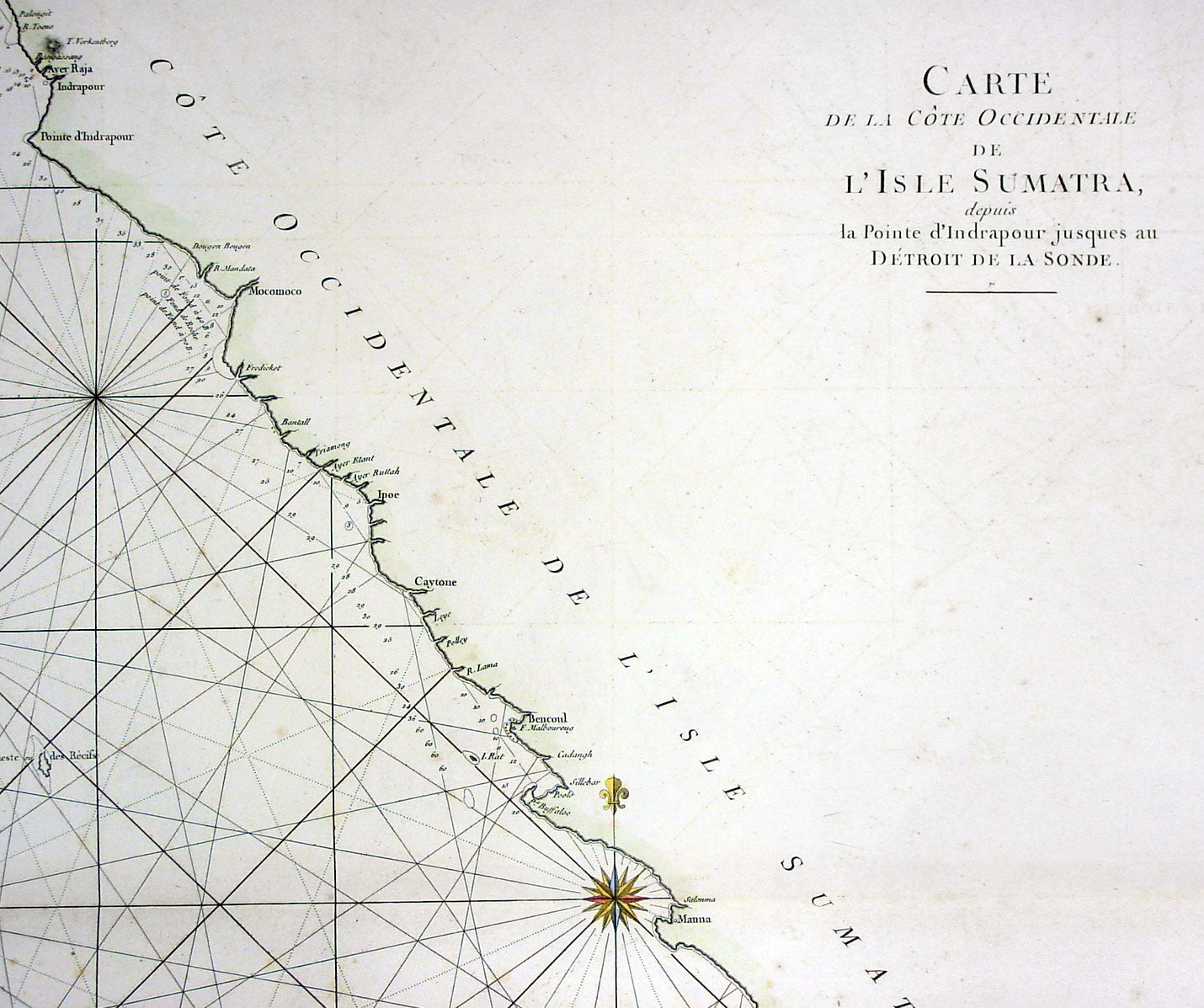
Description: This large hand coloured original antique map a coastal sea chart of the south west coast of Sumatra, Indonesia - centering on the city of Bengkulu stretching south to Tanjungkarang-Telukbetung and north to Mukomuko - was published in the enlarged version of Le Neptune Oriental by Jean Baptiste De Mannevillette in 1745.
Born in Le Havre of a seafaring family d`Apres de Mannevillette had a long and distinguished career as a navigator and one of the first French hydrographers. After studying mathematics in Paris, he gained early experience of the sea in a voyage at the age of nineteen to the Caribbean. During many subsequent voyages he assembled a collection of material for a projected hydrographical atlas which, with the support of the Academie des Sciences, was published in Paris in 1745 under the title Le Neptune Oriental. In spite of the popularity of the first issue, it failed to satisfy the author and he spent nearly thirty years, often with the assistance of his friend, Alexander Dalrymple, the English hydrographer, in the preparation of a revised and enlarged edition which eventually was issued in 1775.(Ref: Tooley; M&B)
General Description: Paper thickness and quality: - Heavy and stable Paper color: - off white Age of map color: - Early Colors used: - Yellow, green, red, brown. General color appearance: - Authentic and fresh Paper size: - 27 1/2in x 20 1/2in (700mm x 520mm) Plate size: - 26 1/2n x 20in (675mm x 510mm) Margins: - Min ½in (12mm)
Imperfections: Margins: - Light age toning Plate area: - None Verso: - None