Welcome to Classical Images!
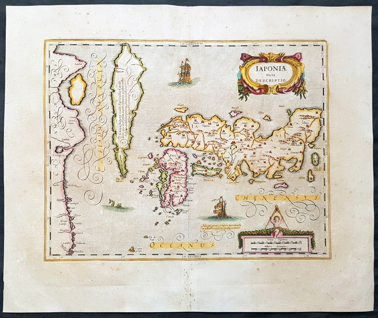
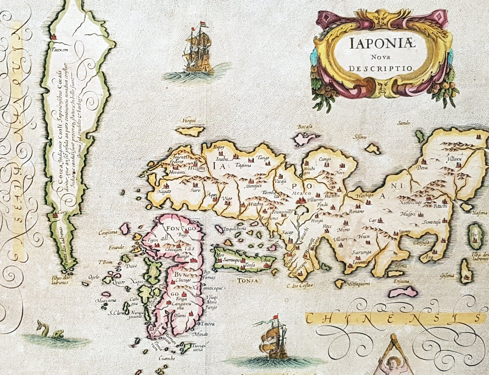
Description:This fine, beautifully hand coloured original antique, early scarce map of Japan & Korea (as an Island) with parts of eastern China was published in the 1639 French edition of Gerardi Mercators Atlantis Novi Atlas by Jan Jansson and Henricus Hondius.
Condition Report: Paper thickness and quality: - Heavy and stable Paper color: - off white Age of map color: - Later Colors used: - Yellow, pink, green General color appearance: - Authentic Paper size: - 22 1/2in x 18 3/4in (570mm x 475mm) Plate size: - 17 1/2in x 13 3/4in (445mm x 350mm) Margins: - Min 2in (50mm)
Imperfections: Margins: - Age toning, light spotting Plate area: - None Verso: - Age toning, bottom centerfold re-joined, no loss Background: This map published by Jansson is taken directly from the Jodocus Hondius map - first published in 1606 - of Japan which faithfully followed the Ortelius/Teixeira style. Jansson has added an explanation for Korea, saying he was not yet certain whether it was an island or part of the mainland. The rest of Jansson's changes were ornamental, replacing the bottom Chinese Junk with a European ship & monster as well as changing the title and scale cartouches. Luis Teixeira'a map, which was published by Ortelius in 1595, began a process that would last for three centuries, in which Western printed maps of Japan increasingly approached geographical reality. (Ref: Koeman; M&B)