Welcome to Classical Images!
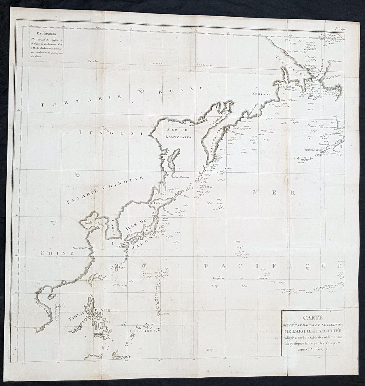
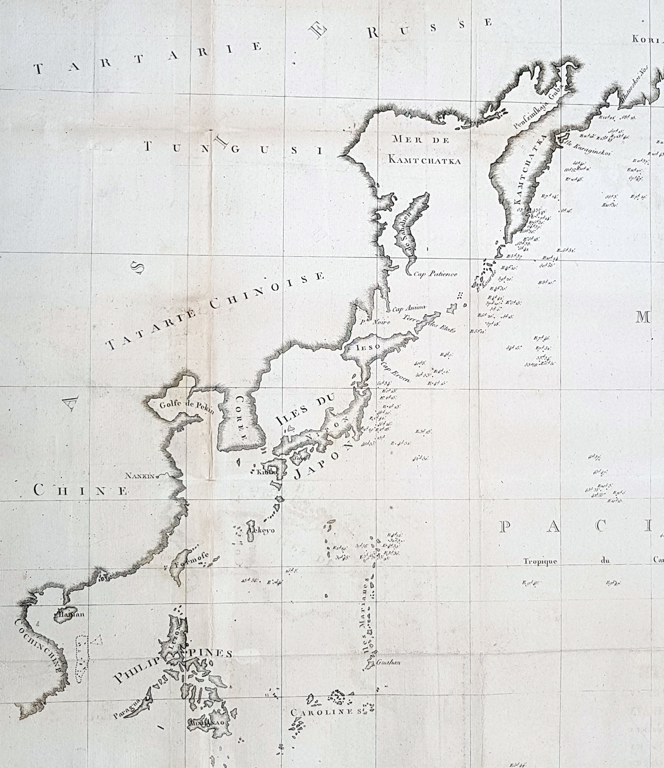
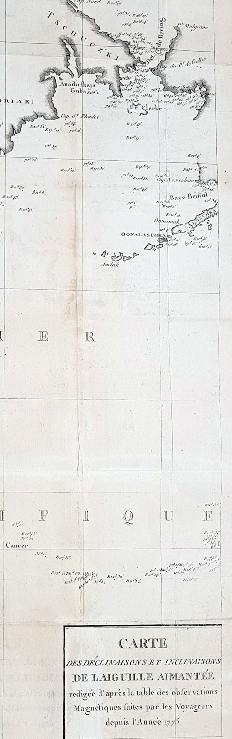
Description:This large original copper plate engraved antique NW Pacific - from the Bering Straits to China & The Philippines - by Jean-François de Galaup, Comte de la Pérouse was engraved in 1775 and published in Count de Buffons monumental publication Histoire Naturelle
General Definitions:Paper thickness and quality: - Heavy and stablePaper color : - off whiteAge of map color: -Colors used: -General color appearance: -Paper size: - 24in x 24in (520mm x 520mm)Plate size: - 24in x 24in (520mm x 520mm)Margins: - Min 1/2in (12mm)
Imperfections:Margins: - NonePlate area: - Folds as issued, light toning along foldsVerso: - None
Background: This map is one of 8 charts which records the first detailed & documented the earths magnetism. Compiled from the reports of La Perouse last voyage in the Pacific.An uncommon chart designed to display magnetic variation in the Pacific, published in Count de Buffons Histoire Naturelle, in the mineralogy volumes. As this section was not as popular as the bird volumes it is believed that only 250 copies of this edition were printed.