Welcome to Classical Images!
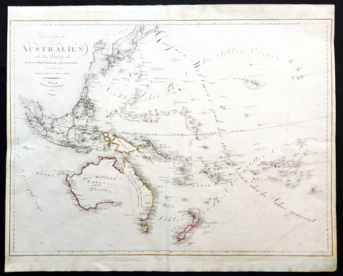
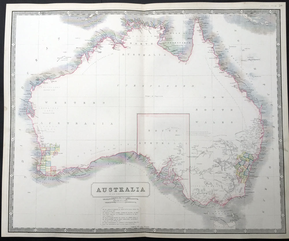
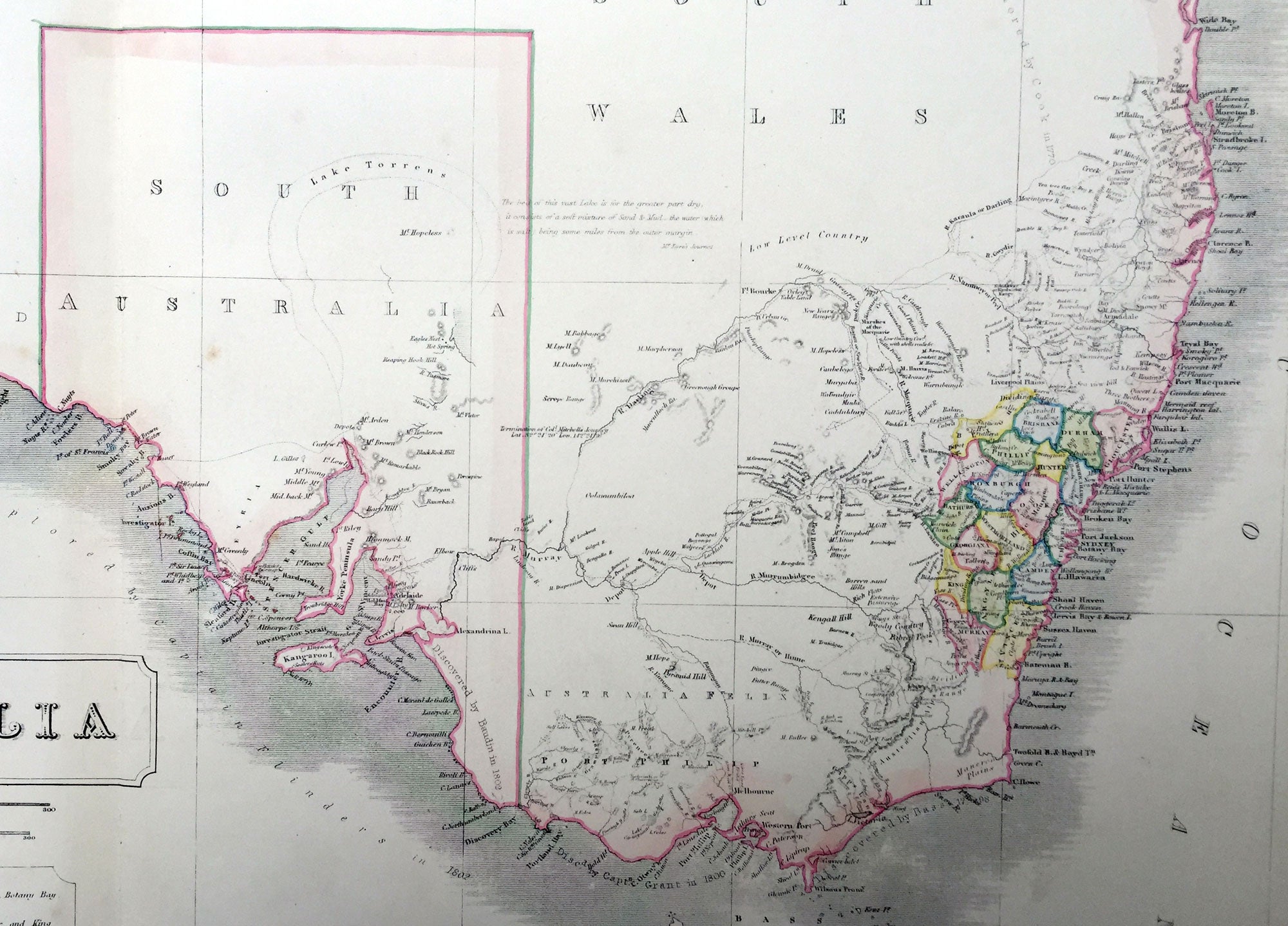
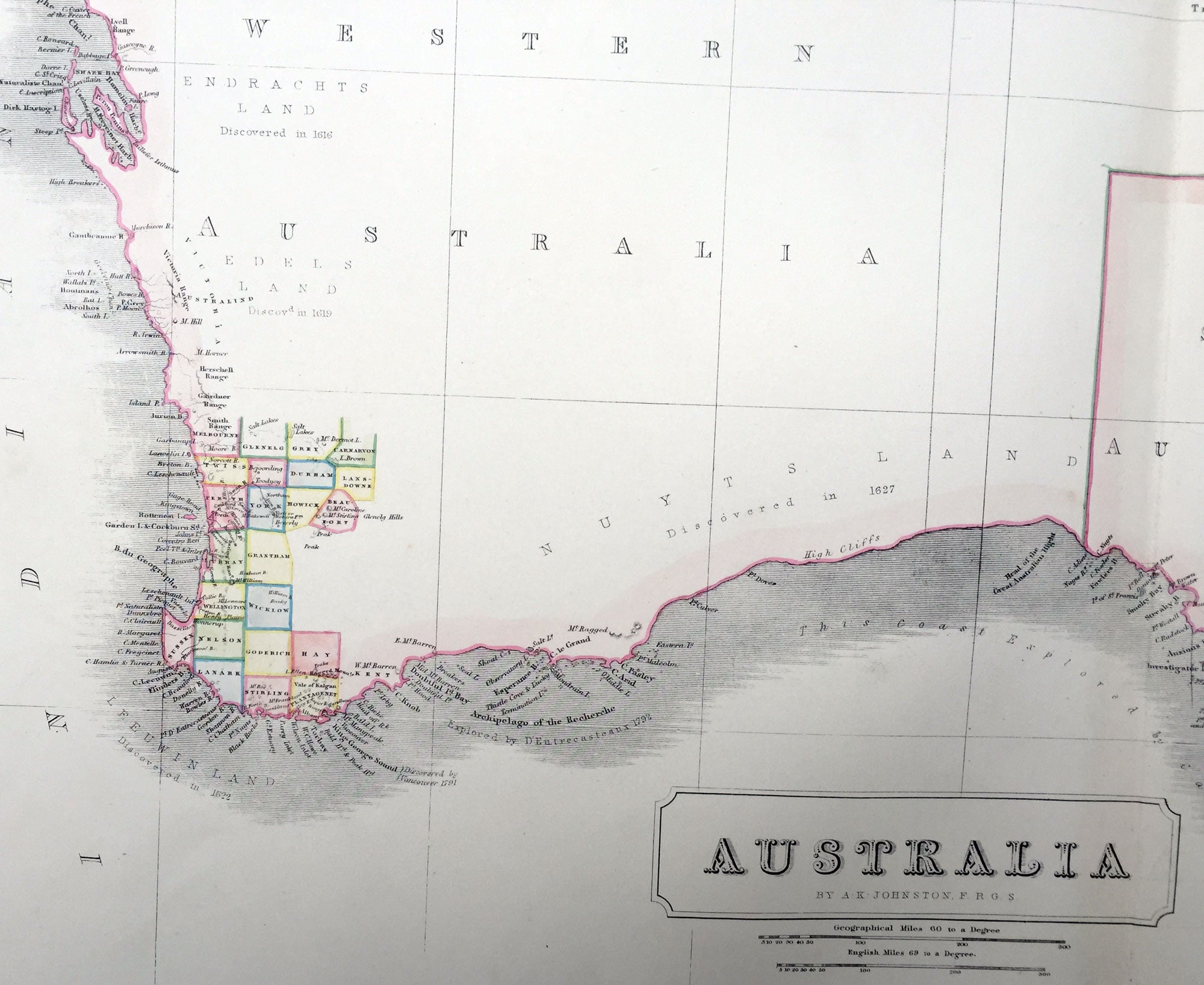
Description:This large fine hand coloured original steel-plate engraved antique map of Australia - with coloured outlines to the counties in NSW & WA - was published by W & AK Johnston in General Atlas,1844. At the bottom of the map is a text box outlining the period of settlements in Australia from Botany Bay in 1788, WA 1829, SA 1836 & the colony of Victoria begun some 8 years earlier in 1838.
Johnston was one of the master publishers of fine engraved and lithographed maps during the 19th century, this large map is no exception. (Ref: Tooley; M&B)
General Description: Paper thickness and quality: - Heavy and stable Paper color: - off white Age of map color: - Original Colors used: - Red, green, yellow General color appearance: - Authentic Paper size: - 25in x 21in (635mm x 535mm) Plate size: - 25in x 21in (635mm x 535mm) Margins: - Min 1/2in (12mm) Imperfections: Margins: - Light age toning Plate area: - None Verso: - None