Welcome to Classical Images!
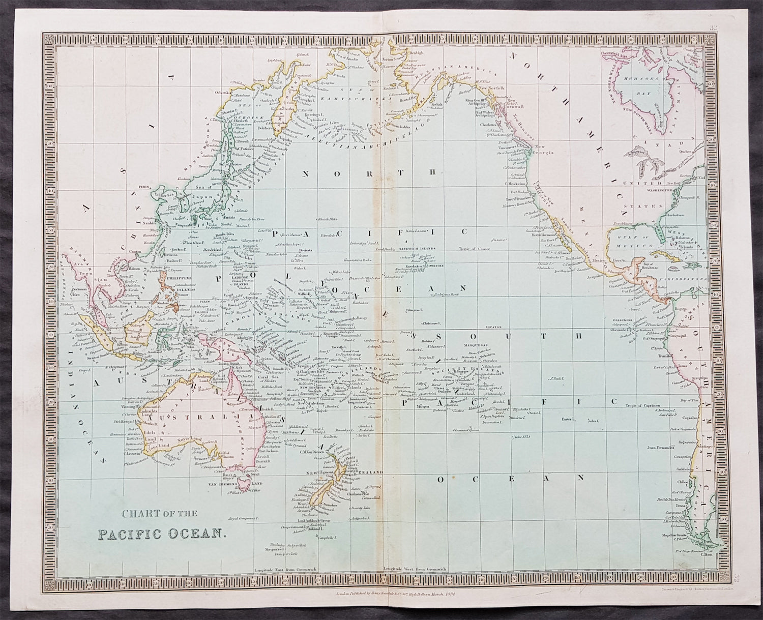
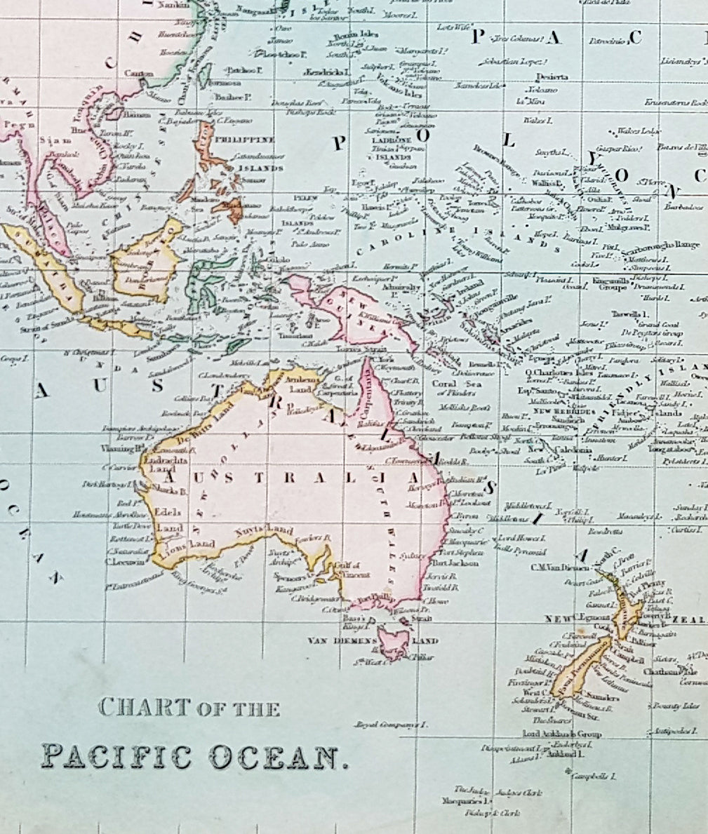
Description:This beautifully hand coloured original copper-plate engraved antique map of the Pacific Ocean, Australia, New Zealand, to North & South America by John Dower was engraved in 1834 - the date is engraved at the foot of the map - and was published in the 1835 edition of Henry Teesdales A New General Atlas of the World. (Ref: M&B; Tooley)
General Definitions:Paper thickness and quality: - Heavy and stablePaper color : - off whiteAge of map color: - OriginalColors used: - Yellow, green, blue, pinkGeneral color appearance: - AuthenticPaper size: - 19in x 15 1/2in (485mm x 395mm)Plate size: - 17 1/2in x 14 1/2in (445mm x 370mm)Margins: - Min 1in (25mm)
Imperfections:Margins: - NonePlate area: - NoneVerso: - None
Teesdale & co., Henry fl 1828-1843
Teesdale was a prominent London publisher and founding fellow of the Royal Geographical Society. He produced large-scale maps and charts and a number of fine atlases in the early part of the nineteenth century. He employed the most skilled draftsmen and engravers and his maps are renowned for precise detail and fine coloring