Welcome to Classical Images!
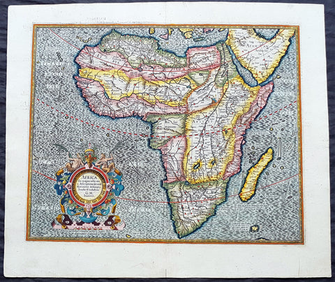
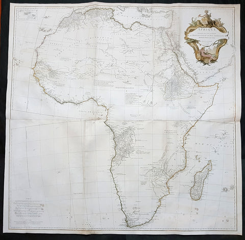
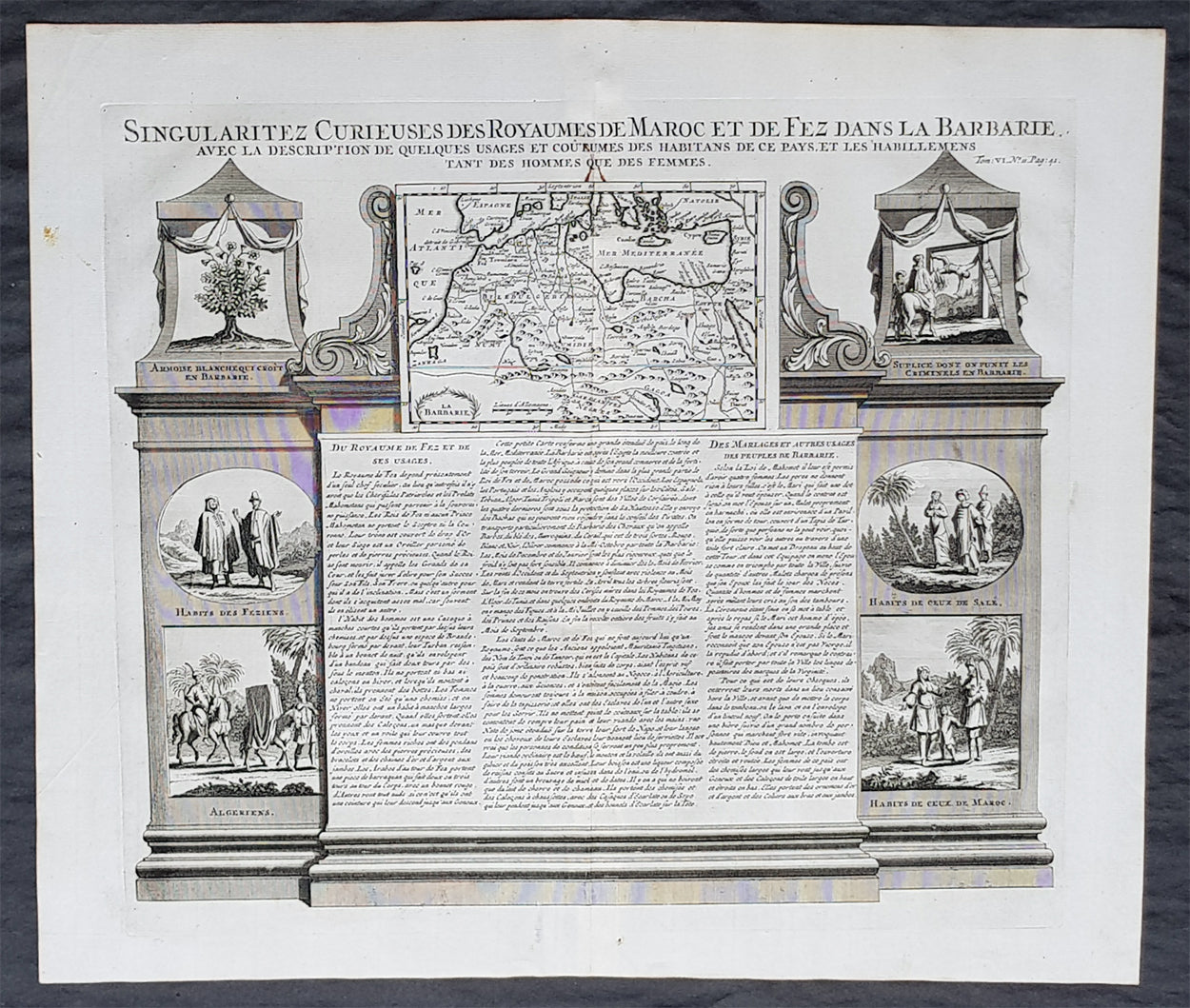
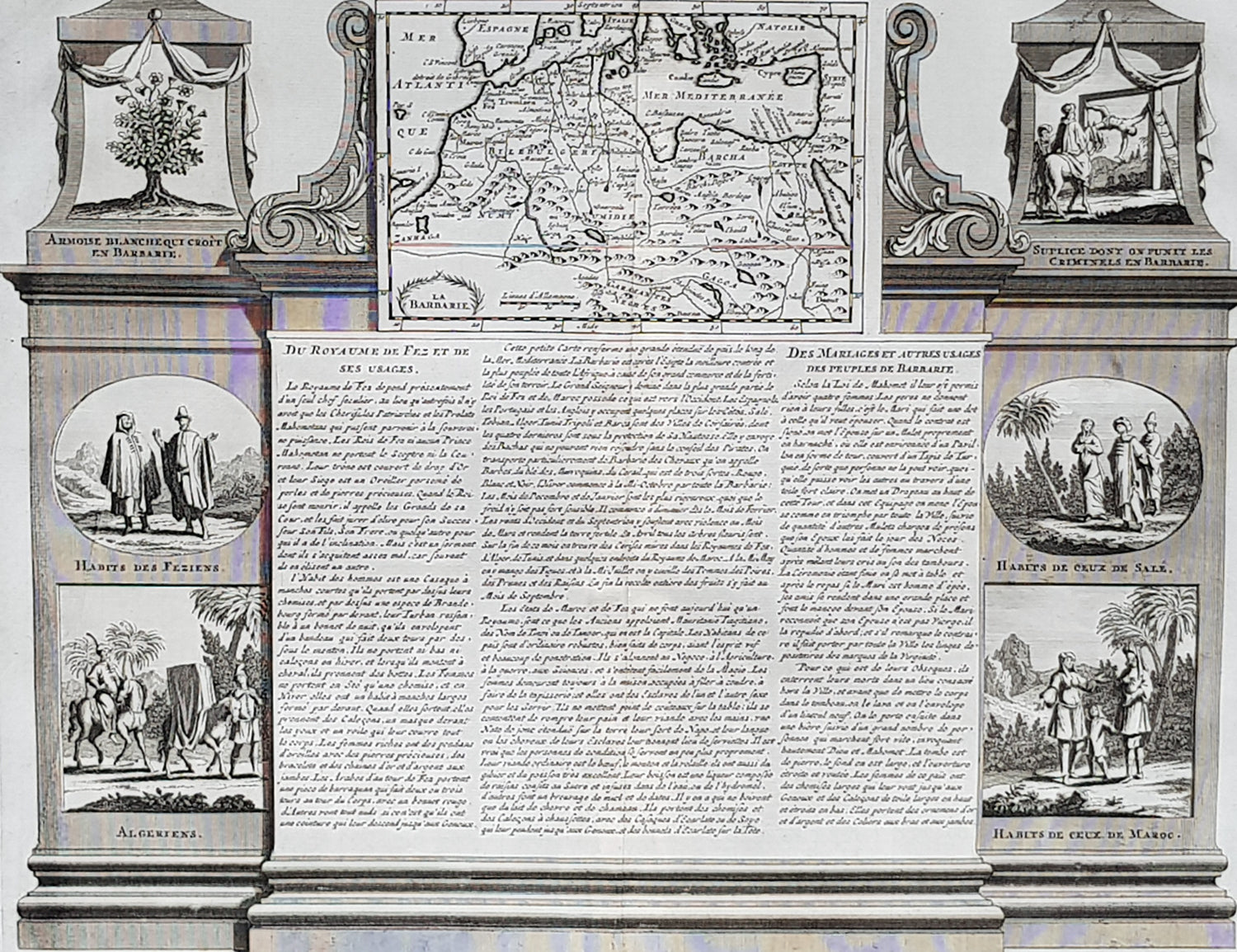
Description:This large original copper-plate engraved antique print of views of the Pyramids, ruins and the Nile River, speculating on the source (not known until the mid 19th century) was published by Henri Abraham Chatelain in 1719, in his famous Atlas Historique.
General Definitions:Paper thickness and quality: - Heavy and stablePaper color : - off whiteAge of map color: -Colors used: -General color appearance: -Paper size: - 20in x 17 1/2in (510mm x 440mm)Plate size: - 17 1/2in x 15in (440mm x 380mm)Margins: - Min 1in (25mm)
Imperfections:Margins: - NonePlate area: - NoneVerso: - None
Background: The river Nile has two major tributaries, the White Nile and Blue Nile. The White Nile is considered to be the headwaters and primary stream of the Nile itself. The Blue Nile, however, is the source of most of the water and silt. The White Nile is longer and rises in the Great Lakes region of central Africa, with the most distant source still undetermined but located in either Rwanda or Burundi. It flows north through Tanzania, Lake Victoria, Uganda and South Sudan. The Blue Nile begins at Lake Tana in Ethiopia and flows into Sudan from the southeast. The two rivers meet just north of the Sudanese capital of Khartoum.Europeans began to learn about the origins of the Nile in the 14th century when the Pope sent monks as emissaries to Mongolia who passed India, the middle east and Africa, and described being told of the source of the Nile in Abyssinia (ancient European name for Ethiopia) Later in the 15th and 16th centuries, travelers to Ethiopia visited Lake Tana and the source of the Blue Nile in the mountains south of the lake. Although James Bruce claimed to be the first European to have visited the headwaters, modern writers give the credit to the Jesuit Pedro Páez. Páezs account of the source of the Nile is a long and vivid account of Ethiopia. It was published in full only in the early 20th century, although it was featured in works of Páezs contemporaries, including Baltazar Téllez, Athanasius Kircher and by Johann Michael Vansleb.Europeans had been resident in Ethiopia since the late 15th century, and one of them may have visited the headwaters even earlier without leaving a written trace. The Portuguese João Bermudes published the first description of the Tis Issat Falls in his 1565 memoirs, compared them to the Nile Falls alluded to in Ciceros De Republica. Jerónimo Lobo describes the source of the Blue Nile, visiting shortly after Pedro Páez. Telles also used his account.The White Nile was even less understood. The ancients mistakenly believed that the Niger River represented the upper reaches of the White Nile. For example, Pliny the Elder wrote that the Nile had its origins in a mountain of lower Mauretania, flowed above ground for many days distance, then went underground, reappeared as a large lake in the territories of the Masaesyli, then sank again below the desert to flow underground for a distance of 20 days journey till it reaches the nearest Ethiopians. A merchant named Diogenes reported that the Niles water attracted game such as buffalo.Lake Victoria was first sighted by Europeans in 1858 when the British explorer John Hanning Speke reached its southern shore while traveling with Richard Francis Burton to explore central Africa and locate the great lakes. Believing he had found the source of the Nile on seeing this vast expanse of open water for the first time, Speke named the lake after the then Queen of the United Kingdom. Burton, recovering from illness and resting further south on the shores of Lake Tanganyika, was outraged that Speke claimed to have proved his discovery to be the true source of the Nile when Burton regarded this as still unsettled. A very public quarrel ensued, which sparked a great deal of intense debate within the scientific community and interest by other explorers keen to either confirm or refute Spekes discovery. British explorer and missionary David Livingstone pushed too far west and entered the Congo River system instead. It was ultimately Welsh-American explorer Henry Morton Stanley who confirmed Spekes discovery, circumnavigating Lake Victoria and reporting the great outflow at Ripon Falls on the Lakes northern shore.European involvement in Egypt goes back to the time of Napoleon. Laird Shipyard of Liverpool sent an iron steamer to the Nile in the 1830s. With the completion of the Suez Canal and the British takeover of Egypt in the 1870s, more British river steamers followed.The Nile is the areas natural navigation channel, giving access to Khartoum and Sudan by steamer. The Siege of Khartoum was broken with purpose-built sternwheelers shipped from England and steamed up the river to retake the city. After this came regular steam navigation of the river. With British Forces in Egypt in the First World War and the inter-war years, river steamers provided both security and sightseeing to the Pyramids and Thebes. Steam navigation remained integral to the two countries as late as 1962. Sudan steamer traffic was a lifeline as few railways or roads were built in that country. Most paddle steamers have been retired to shorefront service, but modern diesel tourist boats remain on the river.