Welcome to Classical Images!
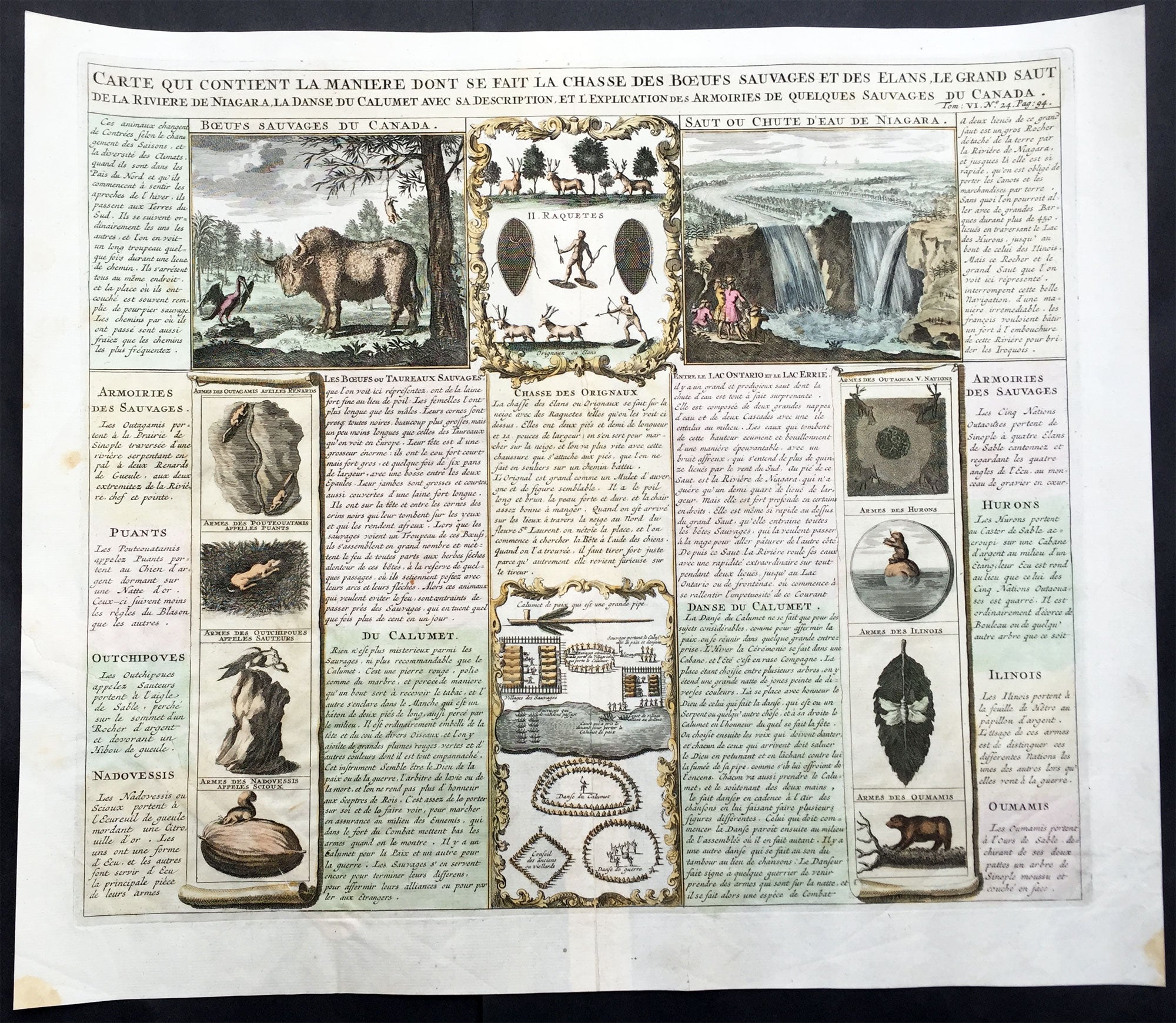
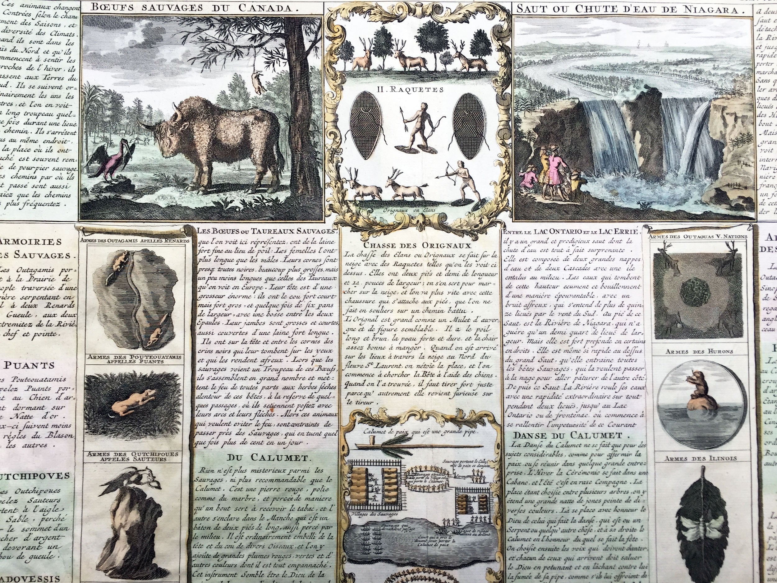
Description:This is the famous Beaver - Buffalo sheet from Volume Six of Chatelain's mammoth Atlas Historique. The sheet contains descriptions and illustrations of beavers and their industry, and of the canoes, dwellings, hunting, fishing, clothes, customs and writing of the Canadian Native Americans. The part of the text entitled Amors & mariages des sauvages details how the prospective groom would woo his bride, which is also illustrated. The large and pointy-toothed beaver is recognizable in later cartouches by Robert de Vaugondy, Santini and others.
This unique sheet also contains various engravings concerning Native American customs and indigenous animals in North America. Including a large engraving of an American buffalo and a grand view of Niagara Falls. At center is a table with engravings of various Indian activities, weapons and ceremonies. Most interesting are the engravings identified as the coat of arms of the Indian Nations. Sheet contains extensive explanation in French text.
Henri Abraham Chatelain (1684 - 1743) was a Huguenot pastor of Parisian origins. He lived consecutively in Paris, St. Martins, London (c. 1710), the Hague (c. 1721) and Amsterdam (c. 1728). Chatelain was a skilled artist and knew combining a wealth of historical and geographical information with delicate engraving and an uncomplicated composition. Groundbreaking for its time, this work included studies of geography, history, ethnology, heraldry, and cosmography. His maps with his elegant engraving are a superb example from the golden age of French mapmaking.The publishing firm of Chatelain, Chatelain Frères and Chatelain & Fils is recorded in Amsterdam, from around 1700-1770, with Zacharias living "op den Dam" in 1730. Henri Abraham Chatelain, his father Zacharie Chatelain (d.1723) and Zacharie Junior (1690-1754), worked as a partnership publishing the Atlas Historique, Ou Nouvelle Introduction à L'Histoire under several different Chatelain imprints, depending on the Chatelain family partnerships at the time of publication. The atlas was published in seven volumes between 1705 and 1720, with a second edition appearing in 1732. The volumes I-IV with a Third edition and volume I with a final edition in 1739. Henri Abraham Chatelain, whose "Atlas Historique" was one of the most expansive Dutch encyclopedias of the age. First published in 1705, Chatelain's Atlas Historique was part of an immense seven-volume encyclopedia. Although the main focus of the text was geography, the work also included a wealth of historical, political, and genealogical information. The text was compiled by Nicholas Gueudeville and Garillon with a supplement by H.P. de Limiers and the maps were engraved by Chatelain, primarily after charts by De L'Isle. The atlas was published in Amsterdam between 1705 and 1721 and was later reissued by Zacharie Chatelain between 1732 and 1739.
Atlas Historique: First published in Amsterdam from 1705 to 1720, the various volumes were updated at various times up to 1739 when the fourth edition of vol.I appeared, stated as the "dernière edition, corrigée & augmentée." The first four volumes seem to have undergone four printings with the later printings being the most desirable as they contain the maximum number of corrections and additions. The remaining three final volumes were first issued between 1719-1720 and revised in 1732. An ambitious and beautifully-presented work, the Atlas Historique was intended for the general public, fascinated in the early eighteenth century by the recently conquered colonies and the new discoveries. Distant countries, such as the Americas, Africa, the Middle East, Mongolia, China, Japan, Indonesia, etc., take an important place in this work. In addition to the maps, many of which are based on Guillaume De L'Isle, the plates are after the best travel accounts of the period, such as those of Dapper, Chardin, de Bruyn, Le Hay and other. Other sections deal with the history of the european countries, and covers a wide range of subjects including genealogy, history, cosmography, topography, heraldry and chronology, costume of the world, all illustrated with numerous engraved maps, plates of local inhabitants and heraldic charts of the lineages of the ruling families of the time. The maps, prints and tables required to make up a complete set are listed in detail in each volume. The accompanying text is in French and often is printed in two columns on the page with maps and other illustrations interspersed. Each map and table is numbered consecutively within its volume and all maps bear the privileges of the States of Holland and West-Friesland. The encyclopaedic nature of the work as a whole is reflected in this six frontispiece. The pages are the work of the celerated mr. Romeijn de Hooghe. and are engraved by J.Goeree, T.Schynyoet and P.Sluyter. New scholarship has suggested the compiler of the atlas, who is identified on the title as "Mr. C***" not to be Henri Abraham Châtelain, but Zacharie Châtelain. (See Van Waning's article in the Journal of the International Map Collectors' Society for persuasive evidence of the latter's authorship.) (Ref: M&B; Tooley)
General Description: Paper thickness and quality: - Heavy and stable Paper color: - White Age of map color: - Later Colors used: - Pink, green, yellow, blue General color appearance: - Authentic Paper size: - 20in x 17in (510m x 430m) Plate size: - 17 1/4in x 15in (440m x 380mm) Margins: - min. 1in (25mm) Imperfections: Margins: - None Plate area: - 20cm repair to left side sheet, no loss Verso: - None