Welcome to Classical Images!
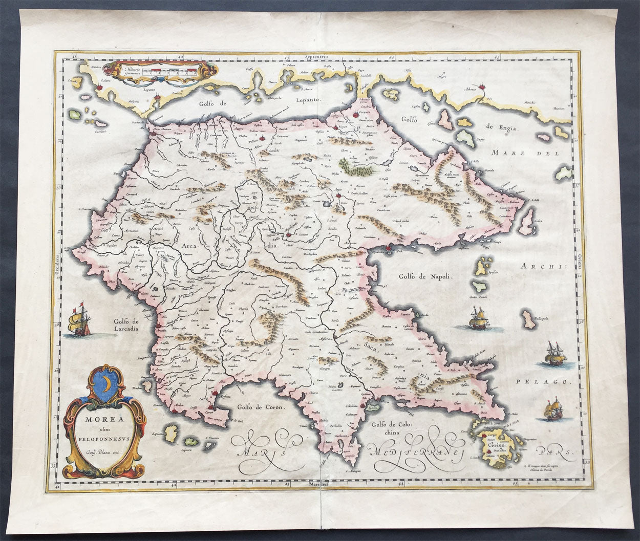
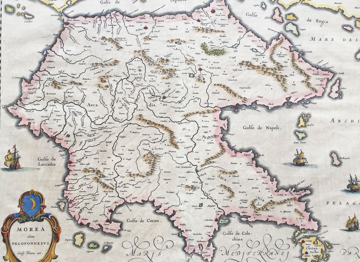
Description:This beautifully engraved hand coloured original 1st edition antique map of the southern Greek peninsular of the Peloponnesusor Morea was published in the 1640 Latin edition of Joan Blaeu's Atlas Nouvs.
The peninsula has been inhabited since prehistoric times. Its modern name derives from ancient Greek mythology, specifically the legend of the hero Pelops who was said to have conquered the entire region. The namePeloponnesos means "Island of Pelops". During the Middle Ages, the peninsula was known as the Morea. According to folk etymology, this is because the Crusaders found it densely planted with mulberry trees (Greek: moreai) used by the flourishing silk industry.
Blaeu is one of the most revered map makers of all time and it is easy to see why in this beautiful original map. The high level of the topographical detail, the quality of the paper, the artistic professionalism of the engraving and the beauty of the original hand colouring combine to produce a work of art that is both functional and of exceptional beauty. (Ref: Koeman; M&B)
General Description: Paper thickness and quality: - Heavy and stable Paper color: - off white Age of map color: - Original Colors used: - Yellow, pink, red, blue, green General color appearance: - Authentic Paper size: - 22in x 19in (560mm x 485mm) Plate size: - 22in x 19in (560mm x 485mm) Margins: - Min 1in (25mm)
Imperfections: Margins: - Bottom centerfold re-joined slight separation Plate area: - Light brush marks across page Verso: - Light brush marks across page