Welcome to Classical Images!
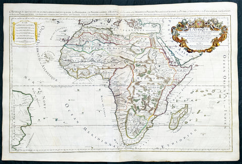
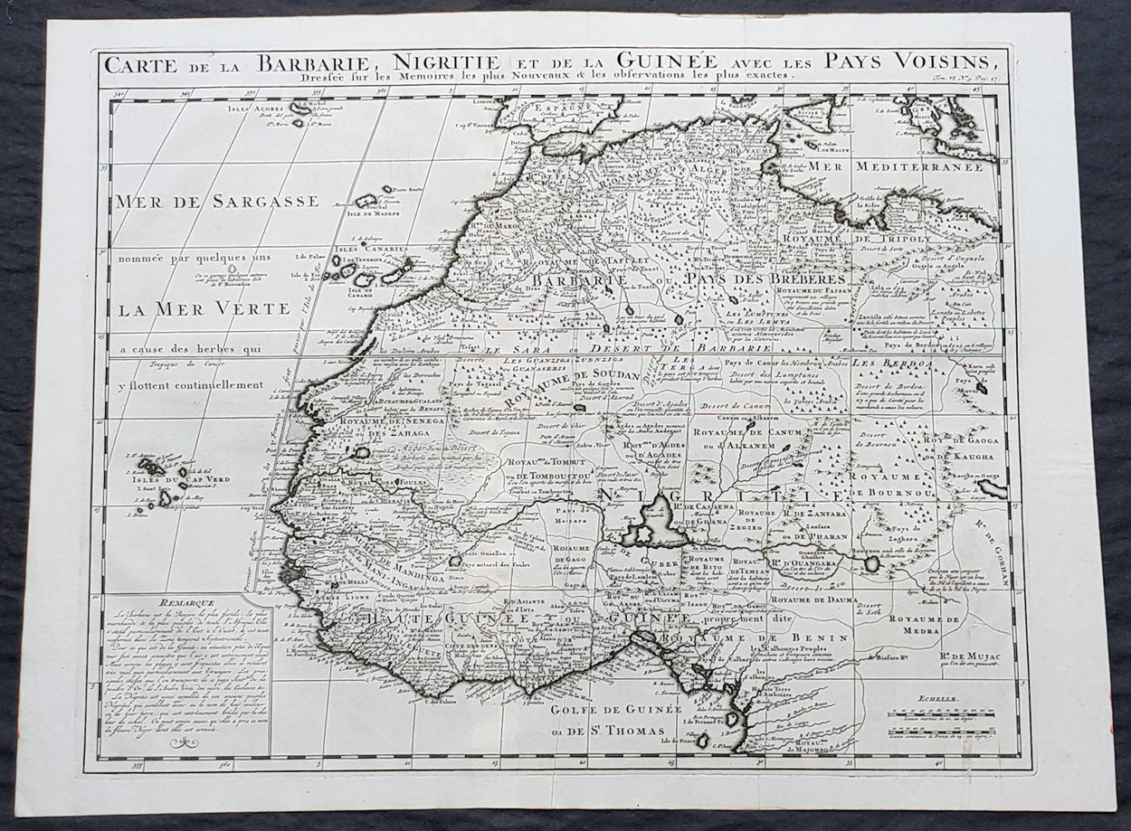
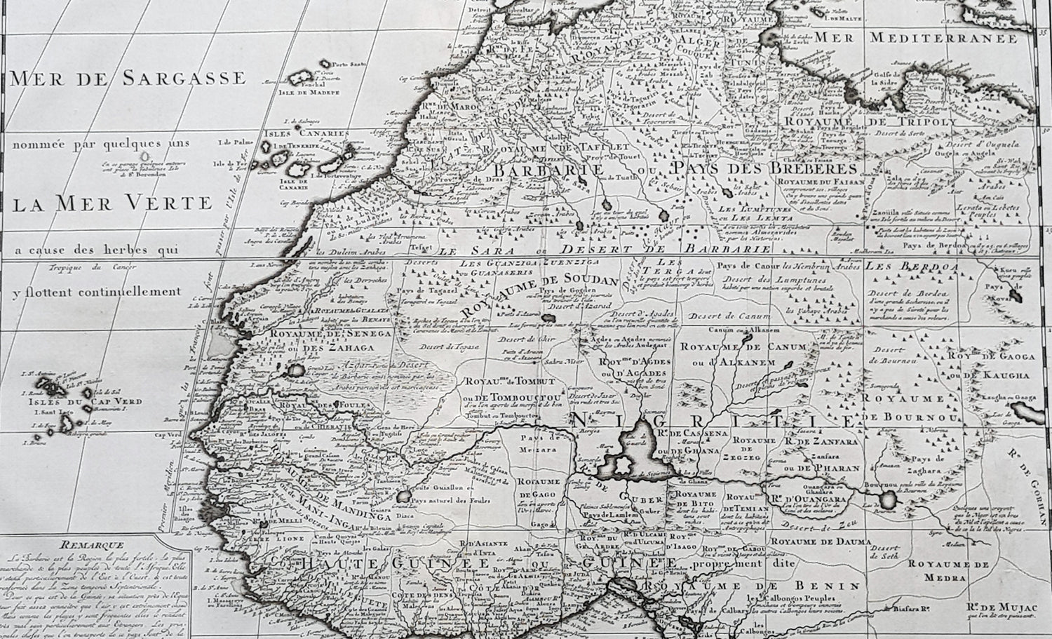
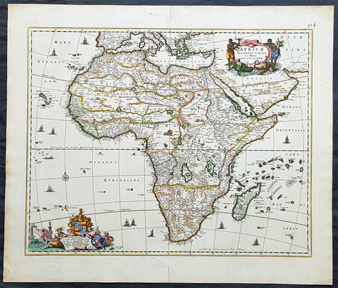
Description:This large original copper-plate engraved antique map of North & Western Africa from the Barbary coast to Benin was published by Henri Abraham Chatelain in 1719, in his famous Atlas Historique.These are truly some of the best early engravings of this region done at the time that were copied by the likes of Prevost, Harrison & others in the 18th century, but not with the same eye for detail.
General Definitions:Paper thickness and quality: - Heavy and stablePaper color : - off whiteAge of map color: -Colors used: -General color appearance: -Paper size: - 23 1/2in x 17 1/2in (600mm x 440mm)Plate size: - 22in x 15in (580mm x 380mm)Margins: - Min 1in (25mm)
Imperfections:Margins: - NonePlate area: - NoneVerso: - None
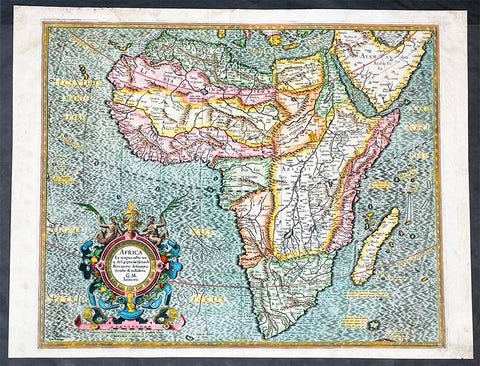
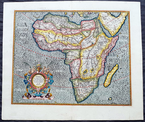
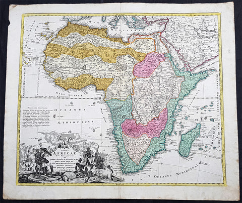
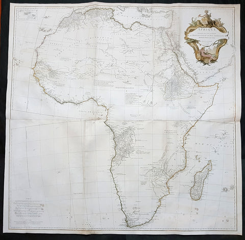
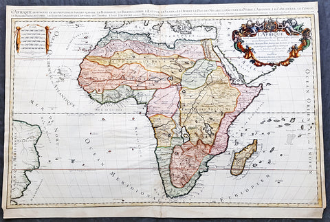
Background: The first separately printed map of Africa (as with the other known continents) appeared in Munster\\\'s Geographia from 1540 onwards and the first atlas devoted to Africa only was published in 1588 in Venice by Livio Sanuto, but the finest individual map of the century was that engraved on 8 sheets by Gastaldi, published in Venice in 1564. Apart from maps in sixteenth-century atlases generally there were also magnificent marine maps of 1596 by Jan van Linschoten (engraved by van Langrens) of the southern half of the continent with highly imaginative and decorative detail in the interior. In the next century there were many attractive maps including those of Mercator/Hondius (1606), Speed (1627), Blaeu (1 630), Visscher (1636), de Wit (c. 1670), all embellished with vignettes of harbours and principal towns and bordered with elaborate and colourful figures of their inhabitants, but the interior remained uncharted with the exception of that part of the continent known as Ethiopia, the name which was applied to a wide area including present-day Abyssinia. Here the legends of Prester John lingered on and, as so often happened in other remote parts of the world, the only certain knowledge of the region was provided by Jesuit missionaries. Among these was Father Geronimo Lobo (1595-1678), whose work A Voyage to Abyssinia was used as the basis for a remarkably accurate map published by a German scholar, Hiob Ludolf in 1683. Despite the formidable problems which faced them, the French cartographers G. Delisle (c. 1700-22), J. B. B. d\\\'Anville (1727-49) and N. Bellin (1754) greatly improved the standards of mapping of the continent, improvements which were usually, although not always, maintained by Homann, Seutter, de Ia Rochette, Bowen, Faden and many others in the later years of the century. (M&B; Tooley)