Welcome to Classical Images!
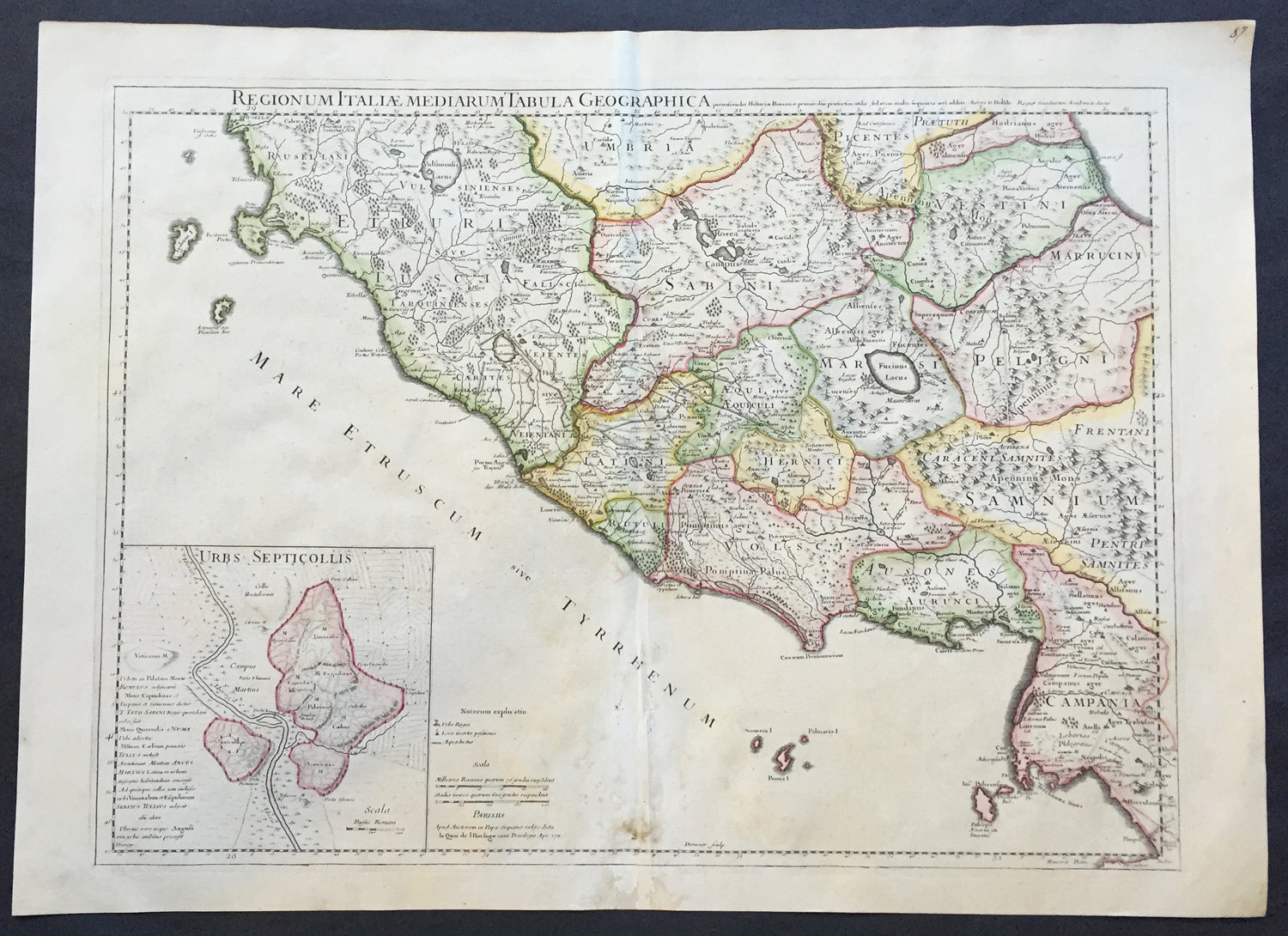
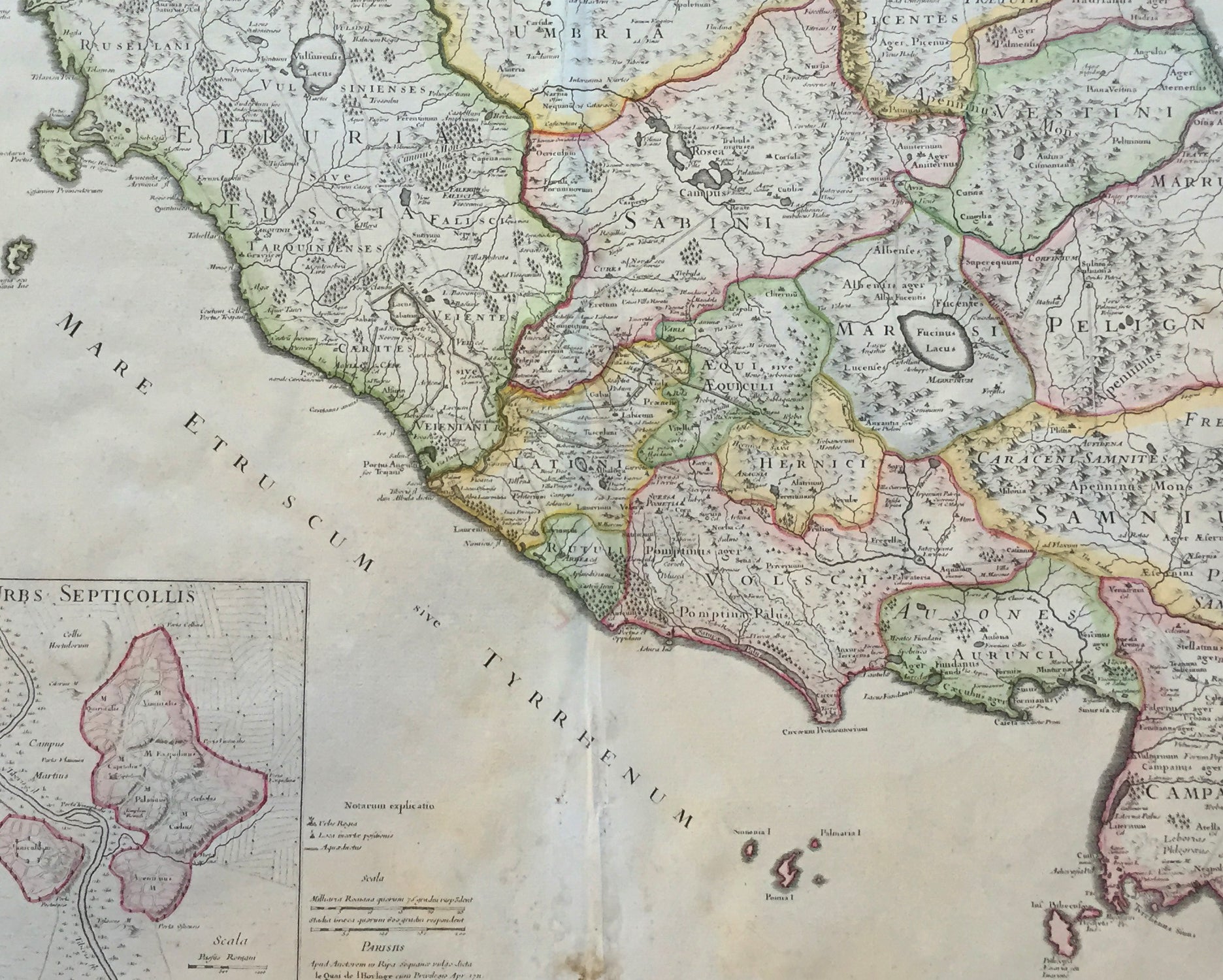
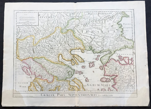
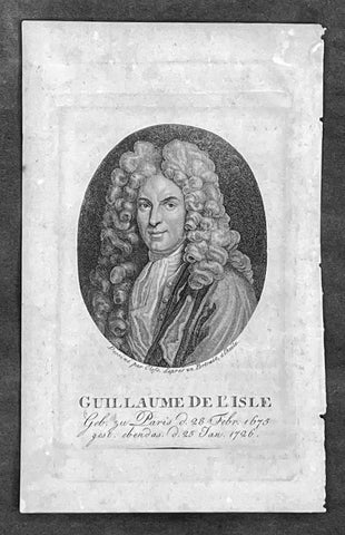
Description:This large beautifully engraved hand coloured original antique map of Rome and the regions surrounding the ancient capital was engraved in 1711 - the date is engraved at the foot of the map - and was published by Guillaume Delisle in the Atlas Nouveau. (Ref: M&B; Tooley)
Condition Report Paper thickness and quality: - Very heavy and stable Paper color: - Off white Age of map color: - Original Colors used: - Yellow, green, pink General color appearance: - Authentic Paper size: - 28in x 21in (660mm x 535mm) Plate size: - 24in x 18 1/2in (610mm x 470mm) Margins: - min. 1in (25mm) Imperfections: Margins: - Repair to bottom margin Plate area: - Light creasing and slight discolouration to bottom centerold Verso: - None