Welcome to Classical Images!
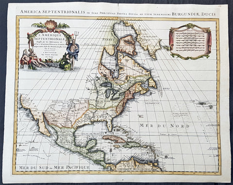
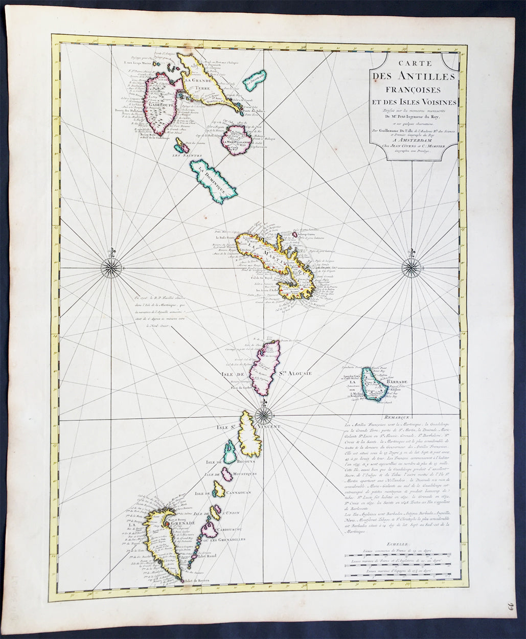
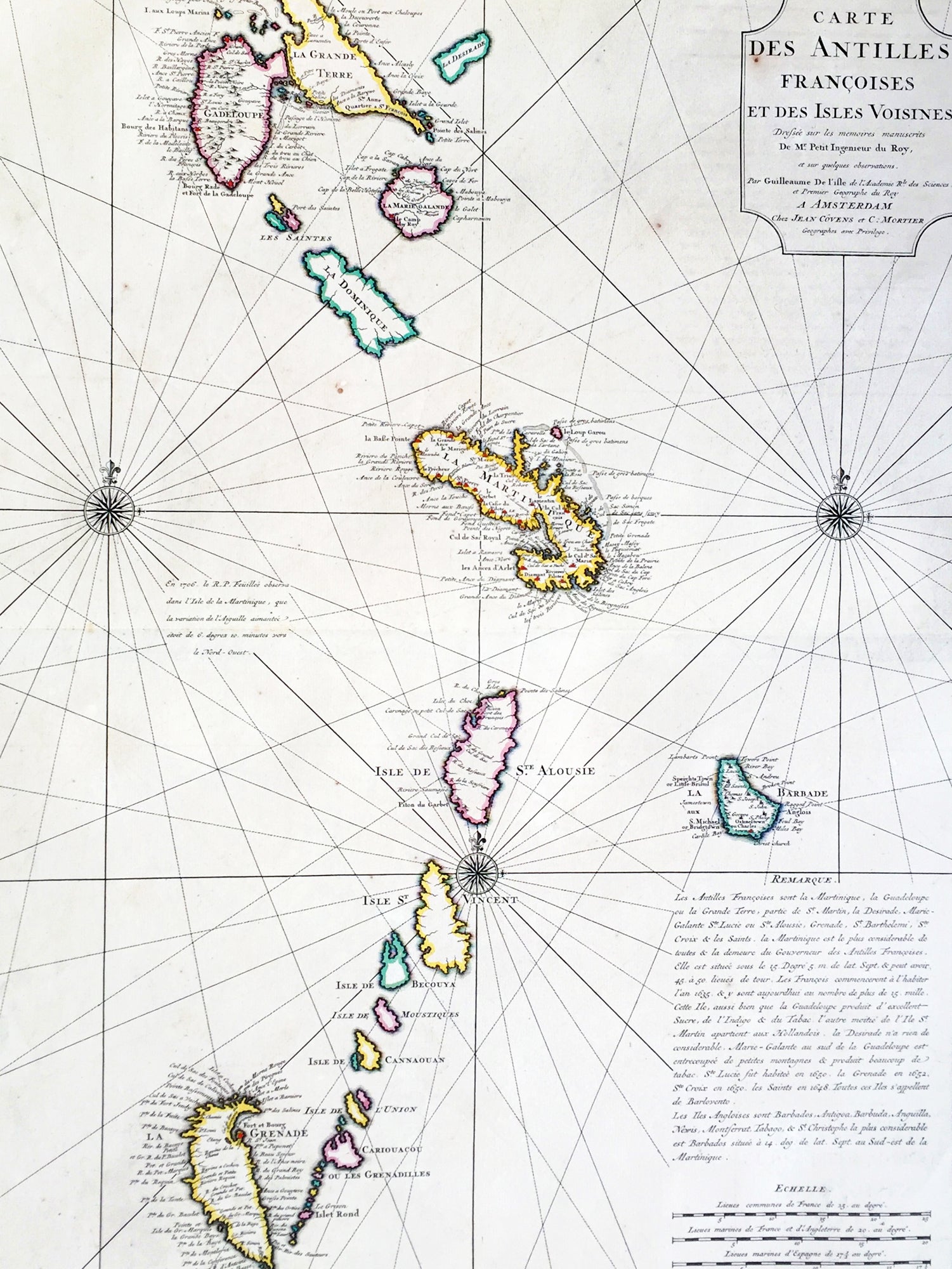
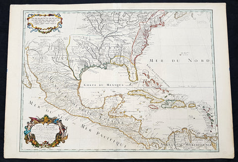
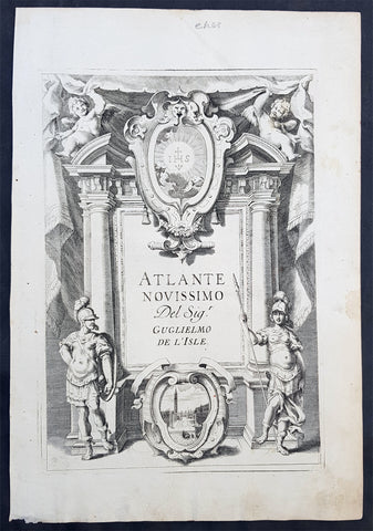
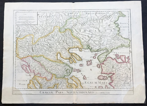
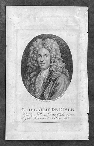
Description: This large beautifully hand coloured original antique map of The West Indian Islands of the Antilles - from Guadeloupe to Granada - by Guillaume de L'Isle was published by Covens & Mortier in 1725 .
Condition Report Paper thickness and quality: - Heavy and stable Paper color: - Off white Age of map color: - Original Colors used: - Yellow, green, pink General color appearance: - Authentic Paper size: - 25 1/2in x 21 1/2in (650mm x 545mm) Plate size: - 23 1/2in x 18in (600mm x 460mm) Margins: - min. 1in (25mm) Imperfections: Margins: - Light age toning in margins Plate area: - None Verso: - None
Background: This map covers the predominately French portion of the West Indies from Guadeloupe to Grenada, including the Grenadines, St. Vincent, Dominica, St. Lucia (Alouise), Barbados, Martinique, and Marie-Galante, among others. As the title cartouche suggests, Delisle cartographically derived this map almost exclusively from a manuscript produced by Thimothee Peitit, 'Arpenteur Jure de la Martinique' (Royal Surveyor of Martinique). Petit had the challenging task of reconciling local surveys of various islands with the general geography of the West Indies. Delisle copied from Petit's manuscript almost verbatim, a fact that is poignantly illustrated in the erroneous positioning of Grenada, which is both upside-down and situated to the west, rather than to the south, of the lower Grenadines. On Petit's part, this error has been attributed to simply running out of paper combined with an attempt to show the French Antilles within the greater continuity of the Windward Isles. For Delisle this was a major and uncharacteristic misstep that earned considerable critique in scientific and cartographic circles. Nonetheless, this map proved both popular and influential, being slavishly copied extensively by other cartographers of the period (Ref: M&B; Tooley)