Welcome to Classical Images!
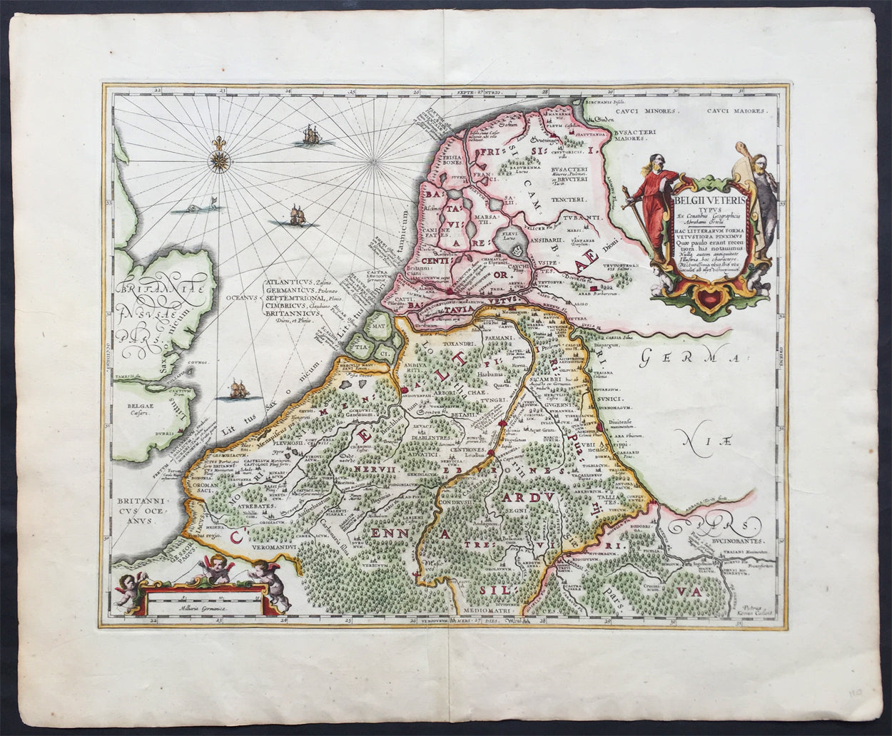
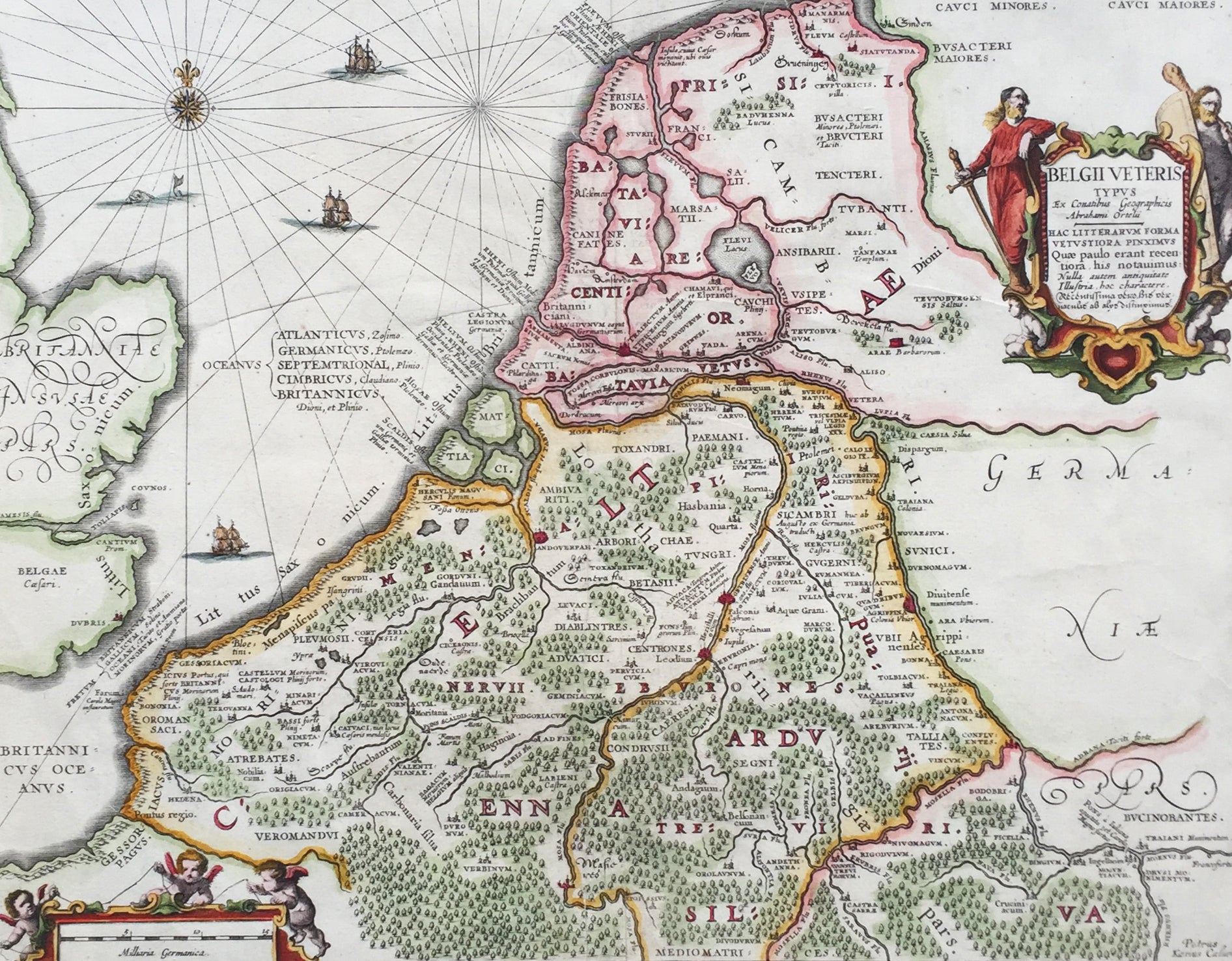
Description:This beautifully engraved hand coloured original antique map of Belgium & the Netherlands was published by Jan Jansson in the 1652 edition of Accuratissima Orbis Antiqui Delineatio.
The cartographical information from this map was borrowed from the Abraham Ortelius map Daciarum Moesiarum first published inParergon in 1595. (Ref: Koeman; Tooley)
General Description: Paper thickness and quality: - Heavy and stable Paper color: - off white Age of map color: - Later Colors used: - Green, red, orange, yellow, blue General color appearance: - Authentic and beautiful Paper size: - 24in x 19 1/2in (610mm x 495mm) Plate size: - 19in x 14 1/2in (485mm x 370mm) Margins: - Min 1in (25mm) Imperfections: Margins: - None Plate area: - None Verso: - None