Welcome to Classical Images!
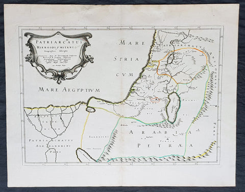
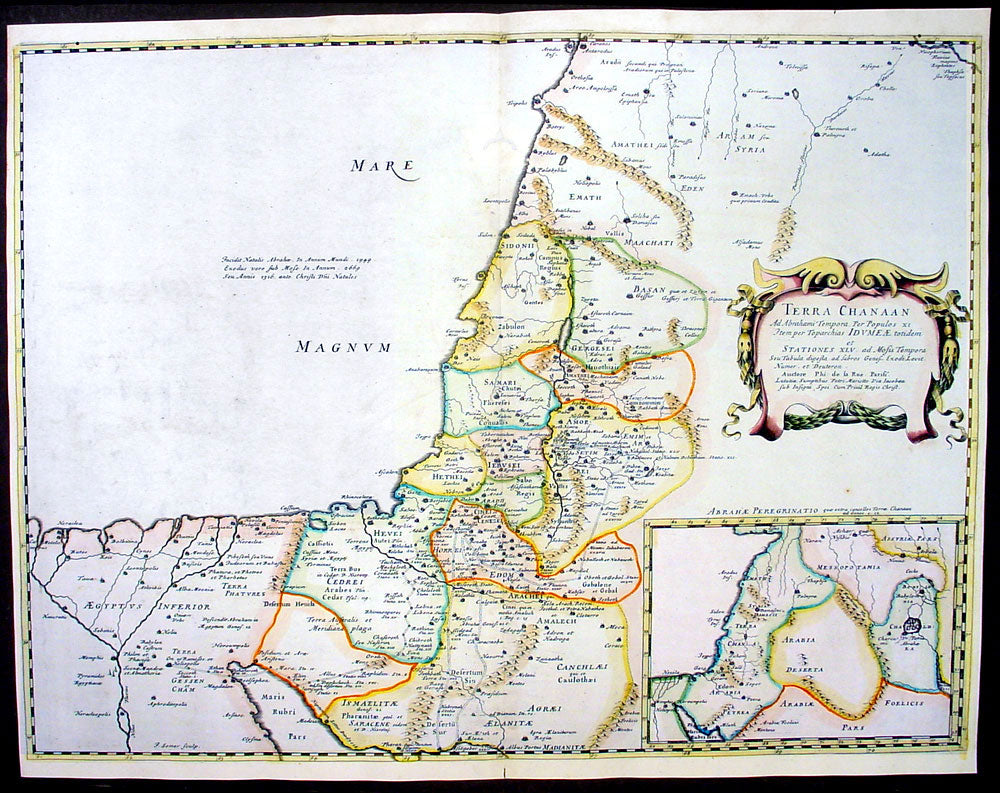
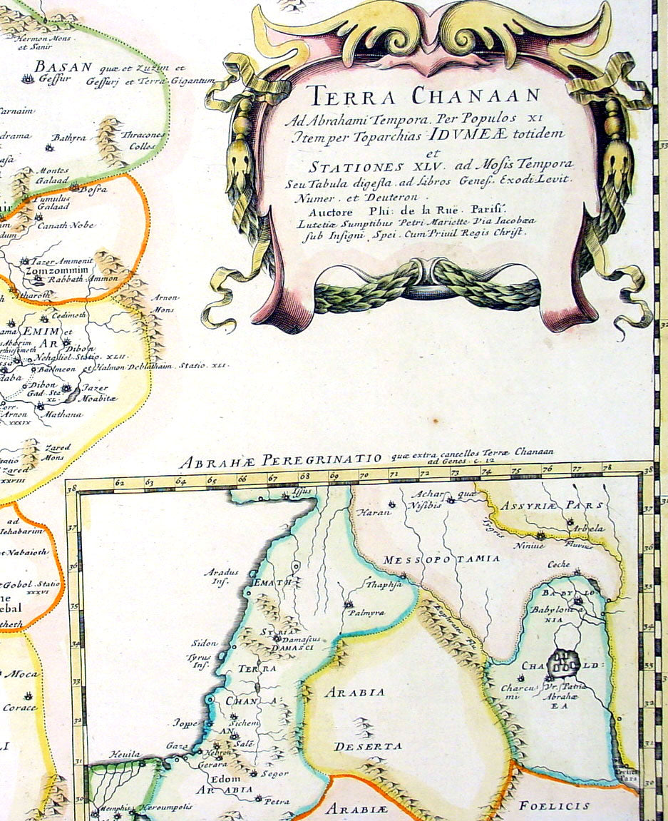
Description:This beautifully hand coloured original antique map of the Holy Land and the Land of Canaan was engraved by Jon Somer and was published by Nicholas Sanson in the 1650 edition ofCartes Generales de Toutes les Parties du Monde.
Canaan is an ancient term for a region encompassing modern-day Israel, Lebanon, the Palestinian territories and adjoining coastal lands, including parts of Jordan, Syria and northeastern Egypt. In the Hebrew Bible, the "Land of Canaan" extends from Lebanon southward across Gaza to the "Brook of Egypt" and eastward to the Jordan River Valley. In far ancient times, the southern area included various ethnic groups. The Amarna Letters found in Ancient Egypt mention Canaan (Akkadian: Kinaḫḫu) in connection with Gaza and other cities along the Phoenician coast and into Upper Galilee. Many earlier Egyptian sources also mention numerous military campaigns conducted in Ka-na-na, just inside Asia. (Ref:Tooley; Koeman)
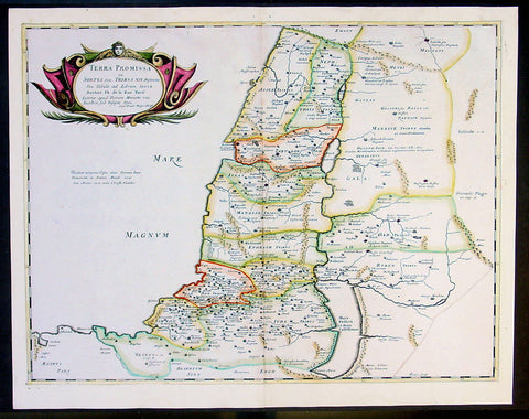
General Description: Paper thickness and quality: - Heavy and stable Paper color: - White Age of map color: - Original & later color Colors used: - Yellow, green, pink General color appearance: - Authentic Paper size: - 22 1/2in x 17 1/2in (570mm x 445mm) Plate size: - 22in x 16 1/2in (560mm x 420mm) Margins: - Min 1/4in (6mm)
Imperfections: Margins: - None Plate area: - Worm holes repair to top & bottom centrefold Verso: - None