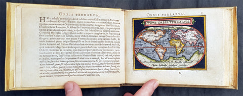
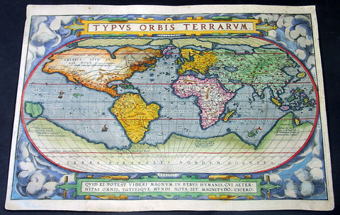
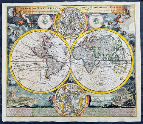
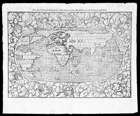
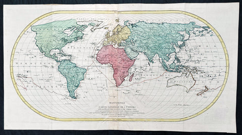
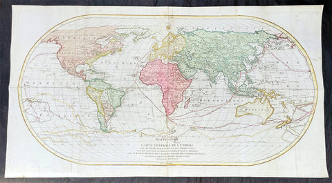
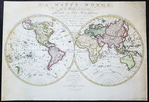
Welcome to Classical Images!
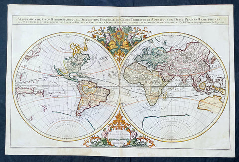
Description:This large original 1st edition, uncommon hand coloured antique lithograph world map was published by W & AK Johnston in his General Atlas, 1844.A Pacific centered map emphasising the contemporary nation of Texas in North America, a few years prior to joining the union, along with the latest discoveries in Antarctica, or Southern Continent (as it was then known) by Charles Wilkes (1840) and James Ross (1841)
General Definitions:Paper thickness and quality: - Heavy and stablePaper color : - off whiteAge of map color: - OriginalColors used: - Yellow, green, blue, pinkGeneral color appearance: - AuthenticPaper size: - 25in x 20in (635mm x 510mm)Plate size: - 25in x 20in (635mm x 510mm)Margins: - Min 1/2in (12mm)
Imperfections:Margins: - Light age toningPlate area: - NoneVerso: - None