Welcome to Classical Images!
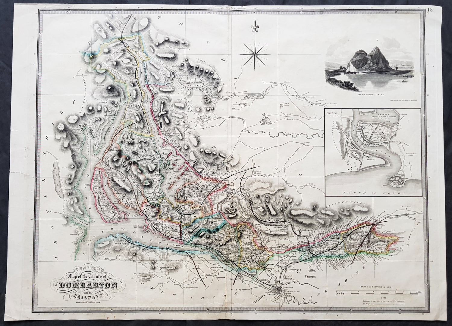
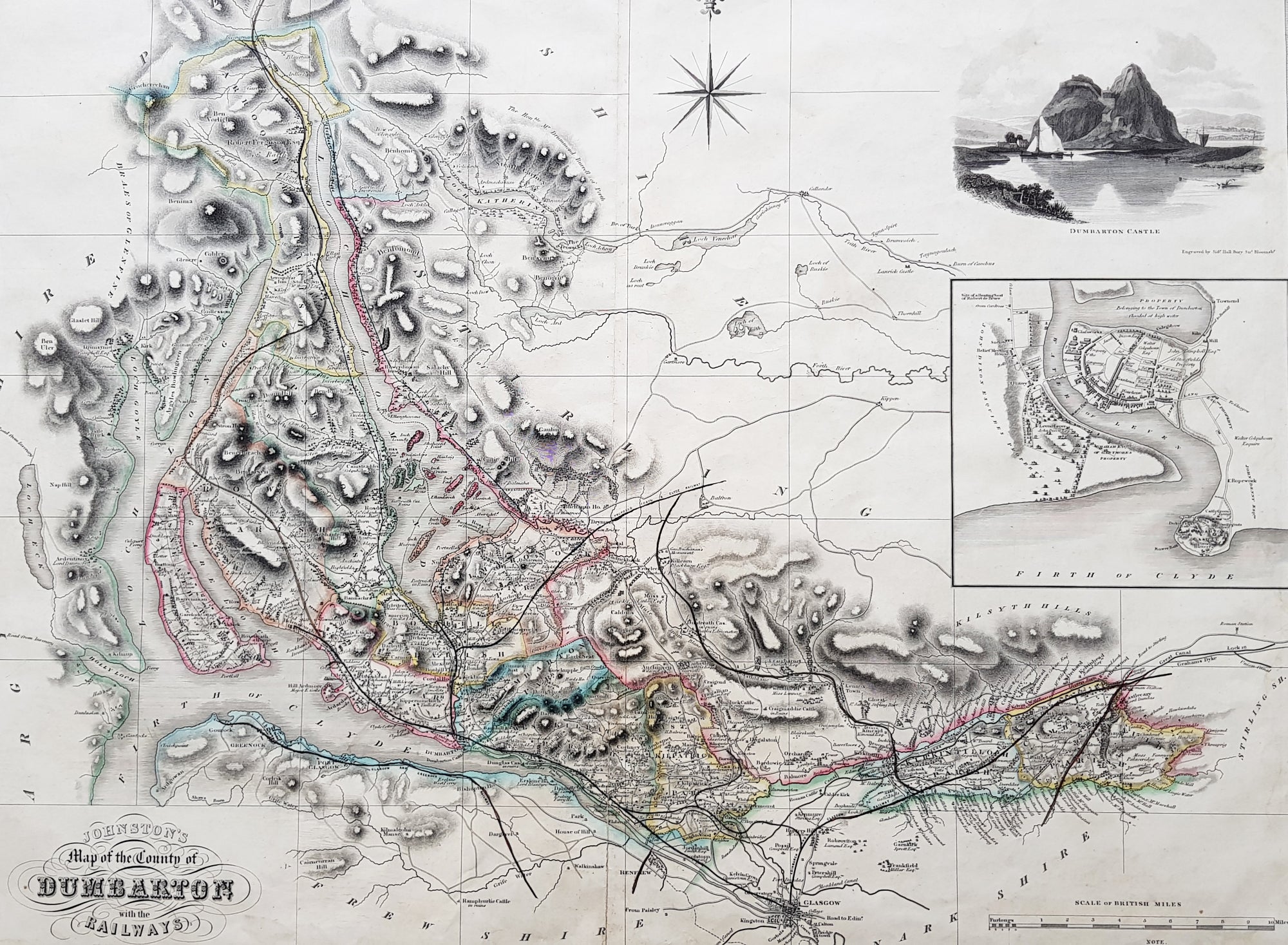
Description:This large original hand coloured steel-plate engraved antique map of the Scottish region of Dumbarton in the county of Dunbartonshire centering on Glasgow and the river Clyde - with an inset image of Dumbarton Castle and another of Dumbarton Town - was published by W & A.K. Johnston in 1841.The map centers on Loch Lomond, the River Clyde and the city of Glasgow.
General Definitions:Paper thickness and quality: - Heavy and stablePaper color : - off whiteAge of map color: - OriginalColors used: - Yellow, green, blue, pinkGeneral color appearance: - AuthenticPaper size: - 29in x 21in (740mm x 535mm)Plate size: - 27in x 21in (685mm x 535mm)Margins: - Min 1/2in (12mm)
Imperfections:Margins: - Soiling, several small repairs to margins into border, no lossPlate area: - Light soiling, centerfold re-joinedVerso: - Soiling, repairs as noted
Background: Dunbartonshire or the County of Dumbarton is a historic county, lieutenancy area and registration county in the west central Lowlands of Scotland lying to the north of the River Clyde.