Welcome to Classical Images!
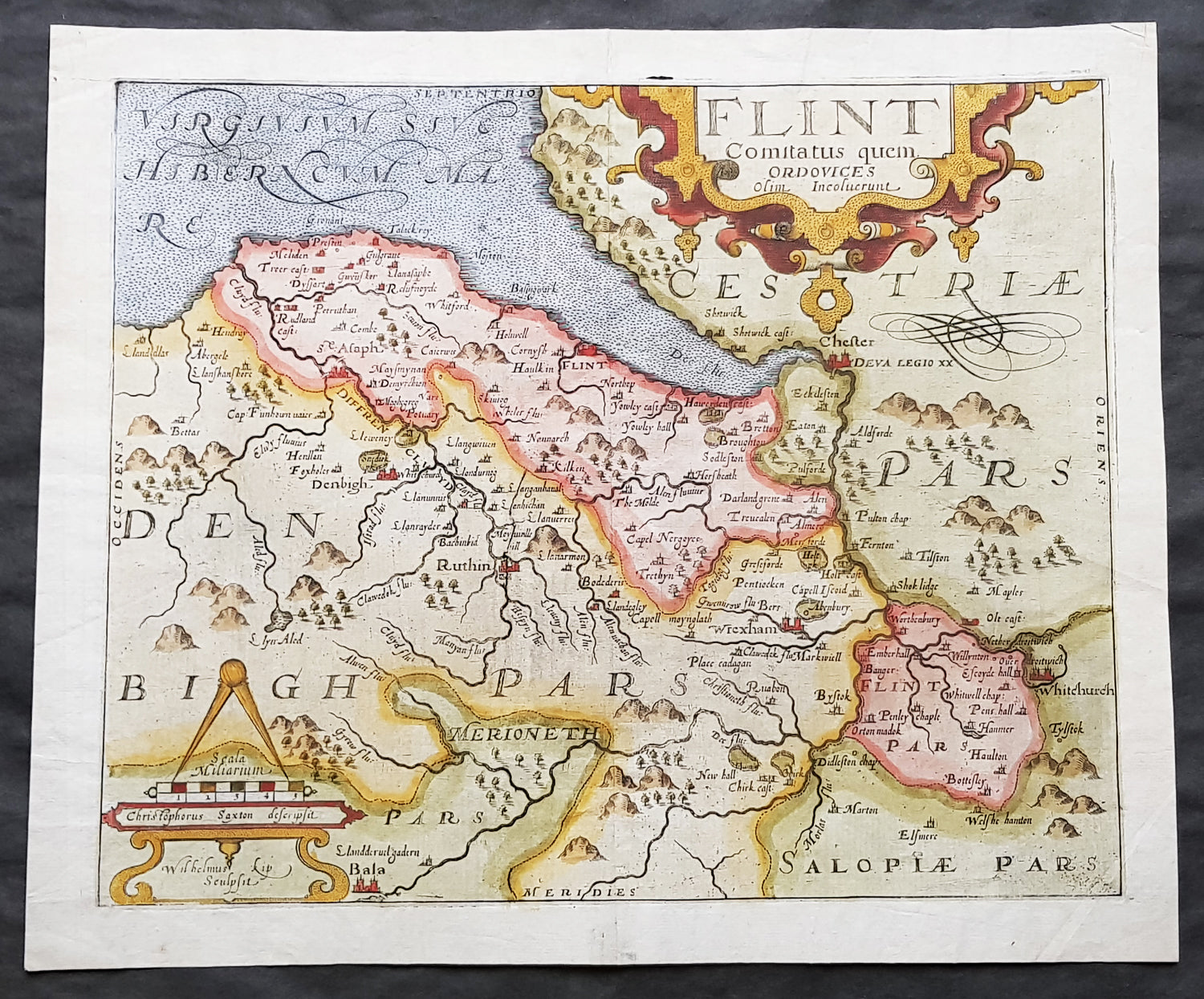
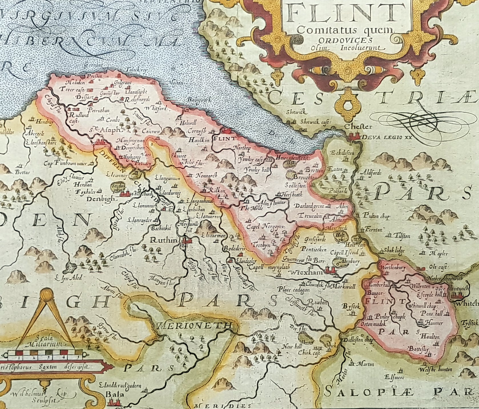
Description:A very attractive early original hand coloured antique map of Flintshire (Welsh: Sir y Fflint) Wales, based on the first survey of the county by Christopher Saxton, was engraved by William Kip for William Camden's Britannia* (London: 1607-1637). As well as still being the earliest printed map of Flintshire at an 'affordable' price it is also the first detailed one dedicted solely to the county.
General Definitions:Paper thickness and quality: - Heavy and stablePaper color : - off whiteAge of map color: - EarlyColors used: - Blue, yellow, green, brownGeneral color appearance: - AuthenticPaper size: - 15in x 13in (380mm x 330mm)Plate size: - 13in x 11in (330mm x 280mm)Margins: - Min 1in (25mm)
Imperfections:Margins: - Light soiling to margin edgesPlate area: - NoneVerso: - None
Background: Britannia', was one of the most popular and influential books of the period. The work of the Elizabethan antiquarian, William Camden (1551-1623), it was a detailed historical and topographical description of Great Britain. Its patriotic sentiments, in particular, both appealed to and generated the growing sense of nationalism that was coursing through late Tudor / early Stuart society. Between 1607 and 1637, county maps engraved by William Kip and William Hole, and based largely on Saxton's surveys, were added. These maps have the distinction of being the first set to show each county individually as opposed to several being grouped together on one page. Camden's Britannia continued to be published well into the 19th century; from 1695 to 1772, county maps by Robert Morden were used, and from 1789 to c.1815, those by the renowned John Cary.