Welcome to Classical Images!
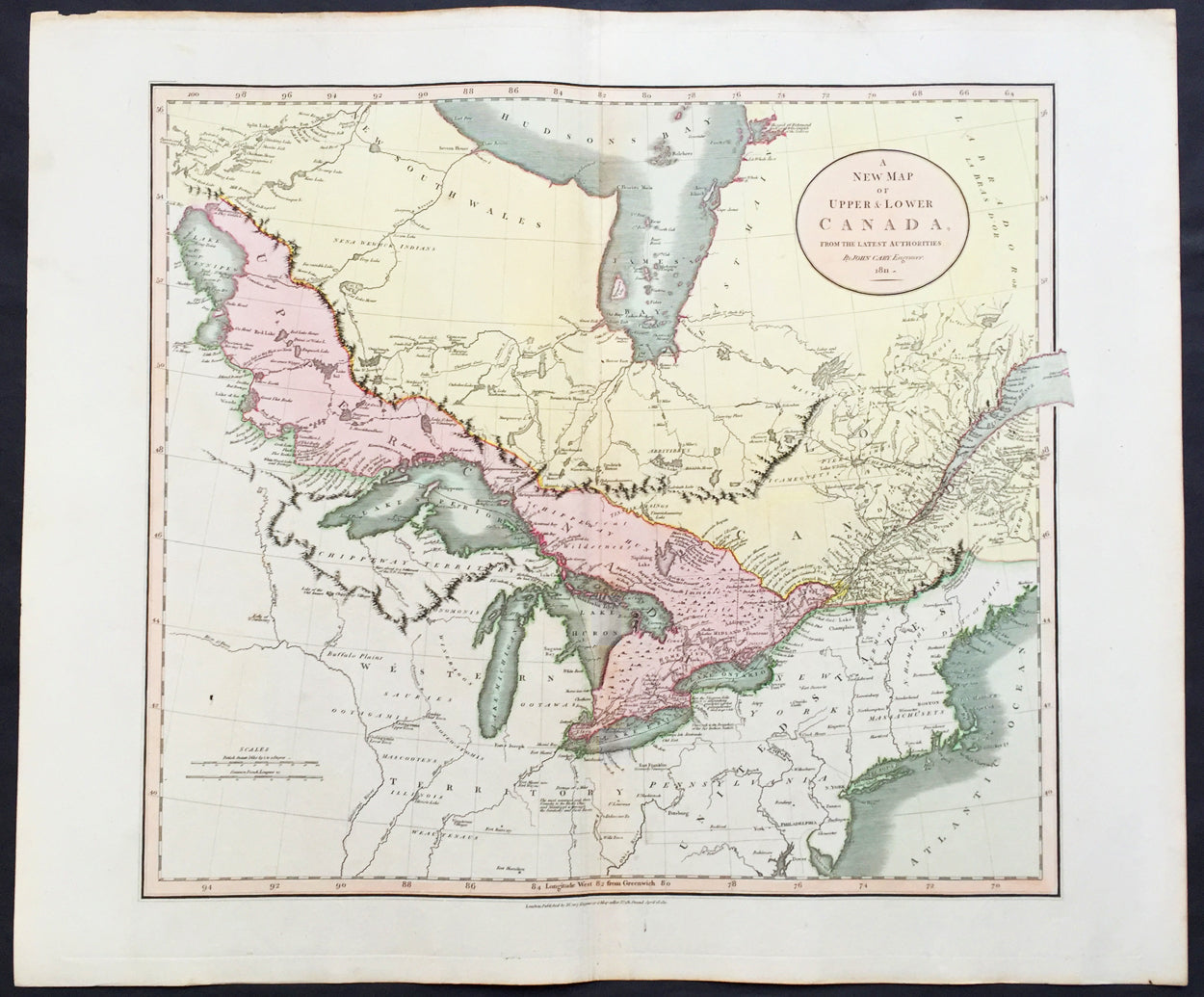
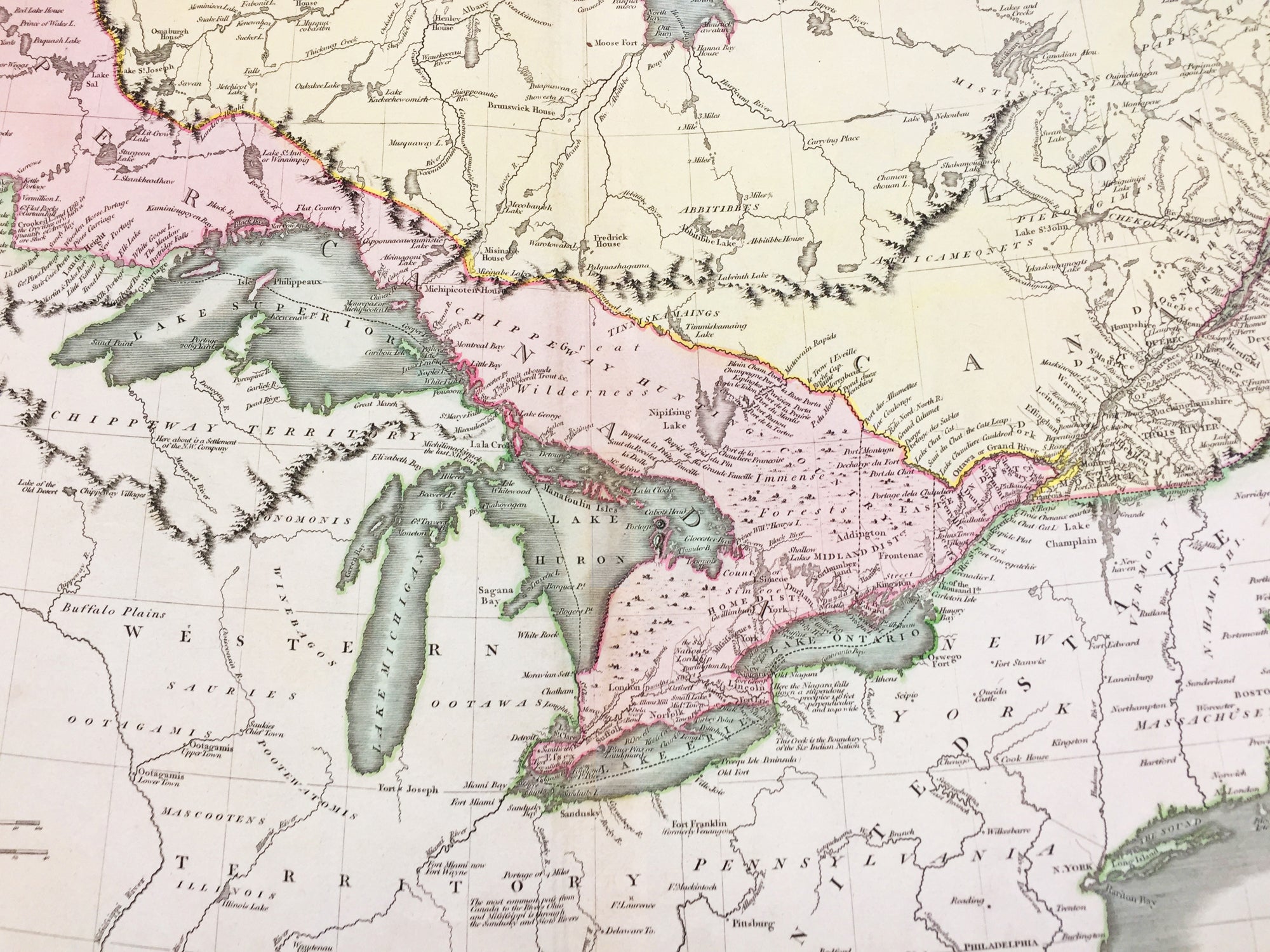
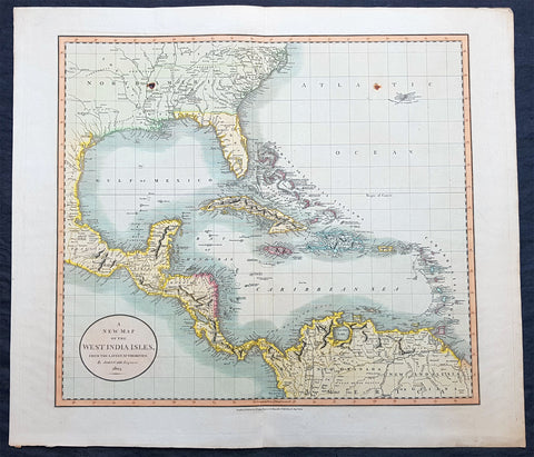
Description: This large, beautifully hand coloured original antique map of the Great Lakes of North America was engraved by John Cary in 1811 - the date is engraved in the title cartouche - and was published in Cary's New Universal Atlas. (Ref Tooley M&B)
John Cary (1745 - 1835) many regard Cary as one of the finest English cartographers of his time. His maps are not as decorative in the 17th century sense, but he came to on the scene at a time when the large-scale English county maps had recently become available. His fine craftsmanship and ability as an engraver enabled him to produce not only fine English county maps but also world atlases, road maps, town and canal plans sea charts and terrestrial and celestial globes.
General Description: Paper thickness and quality: - Heavy and stable Paper color: - off white Age of map color: - Original Colors used: - Green, yellow, pink General color appearance: - Authentic Paper size: - 26in x 21 1/2in (660mm x 550mm) Plate size: - 24in x 20 1/2in (610mm x 520mm) Margins: - Min 1in (25mm) Imperfections: Margins: - None Plate area: - None Verso: - None