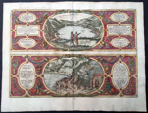
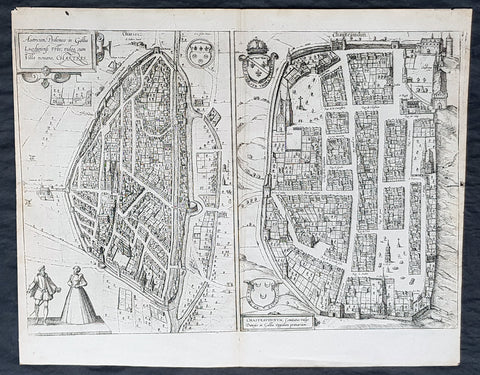
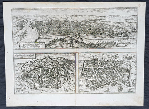
Welcome to Classical Images!
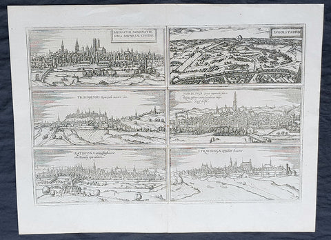
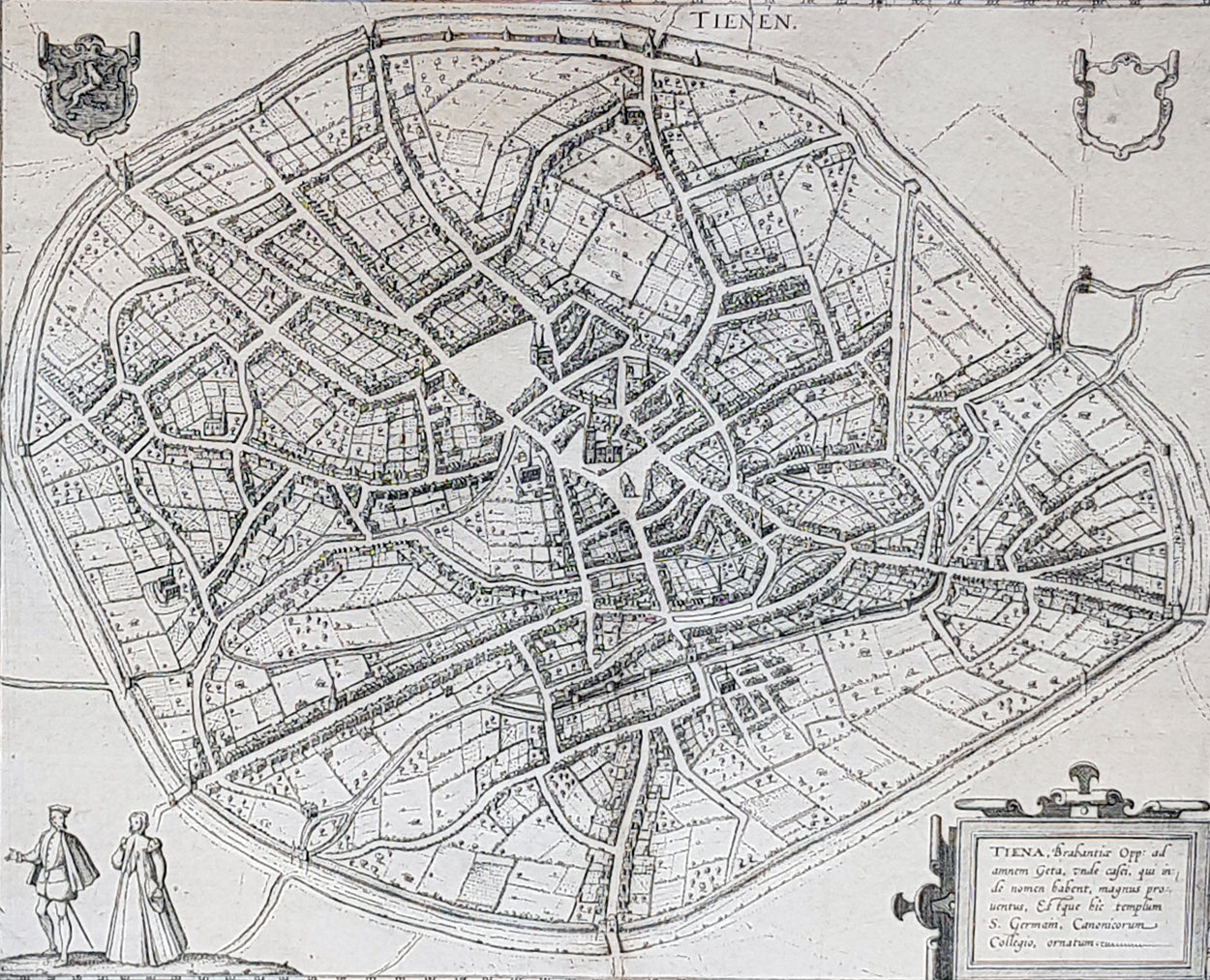
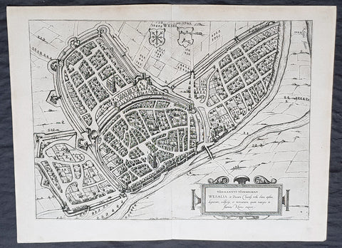
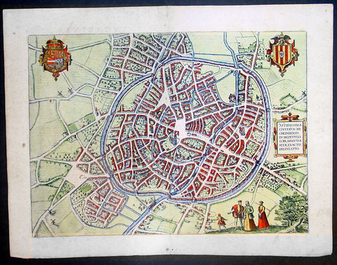
Description:This original copper-plate engraved antique map a birds eye city view of Tienen in Flemish Brabant was published by Georg Braun & Frans Hogenberg for the 1574 atlas of town plans Civiates Orbis Terrarum intended as a companion to Abraham Ortelius\\\'s master Atlas Theatrum Orbis Terrarum published in 1570.
General Definitions:Paper thickness and quality: - Heavy and stablePaper color : - off whiteAge of map color: -Colors used: -General color appearance: -Paper size: - 21in x 16in (545mm x 410mm)Plate size: - 19in x 13 1/2in (480mm x 340mm)Margins: - Min 1in (25mm)
Imperfections:Margins: - NonePlate area: - NoneVerso: - None
Background: Tienen or Thienen is a city and municipality in the province of Flemish Brabant, in Flanders, Belgium.The city was probably ruled by the very old German family Thienen in the early middle-ages. This is likely a branch of the Jonckers dynasty. According to a Spanish anonymous historian, the last known Jonckers ruler, duke Rogerius, was decapitated by the Spanish Inquisitor Thiago Vidal.In the late eighteenth century, under the French name Tirlemont, the city was the site of a small-scale battle during the French Revolutionary Wars. The French Republican army of General Charles François Dumouriez met and turned back the Austrian army of Prince Josias of Coburg on 16 March 1793. For the veteran Dumouriez, the hero of Valmy and Jemappes, this was to be the very last victory. Within a week his army suffered such catastrophic defeats that the victor of Tirlemont defected infamously to the royalists for the rest of his life.