Welcome to Classical Images!
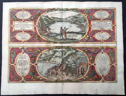
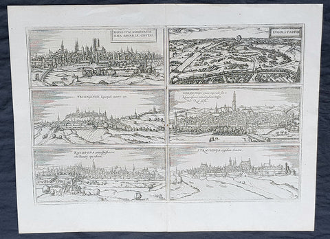
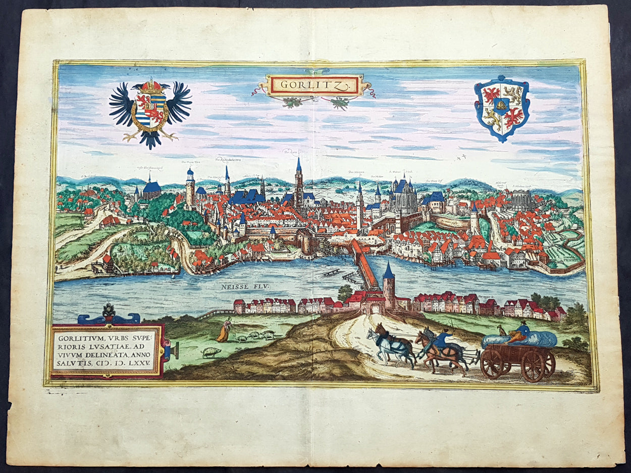
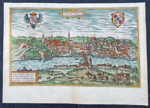
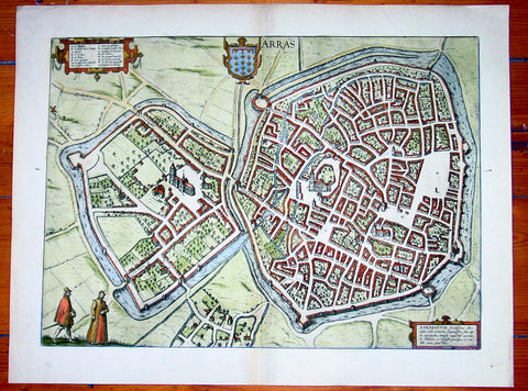
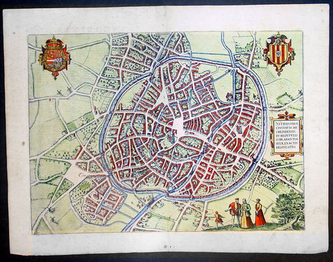
Description:This original beautifully hand coloured copper plate engraved antique map a birds eye view of the Gorlitz, in the state of Saxony, in the region of Lusatia, in far eastern Germany, on the border with Poland, was published in the 1574 edition of Braun & Hogenbergs atlas Civitates Orbis Terrarum
General Definitions:Paper thickness and quality: - Heavy and stablePaper color : - off whiteAge of map color: - OriginalColors used: - Yellow, green, blue, pinkGeneral color appearance: - AuthenticPaper size: - 22in x 16 1/2in (560mm x 420mm)Plate size: - 20in x 12 1/2in (510mm x 320mm)Margins: - Min 1in (25mm)
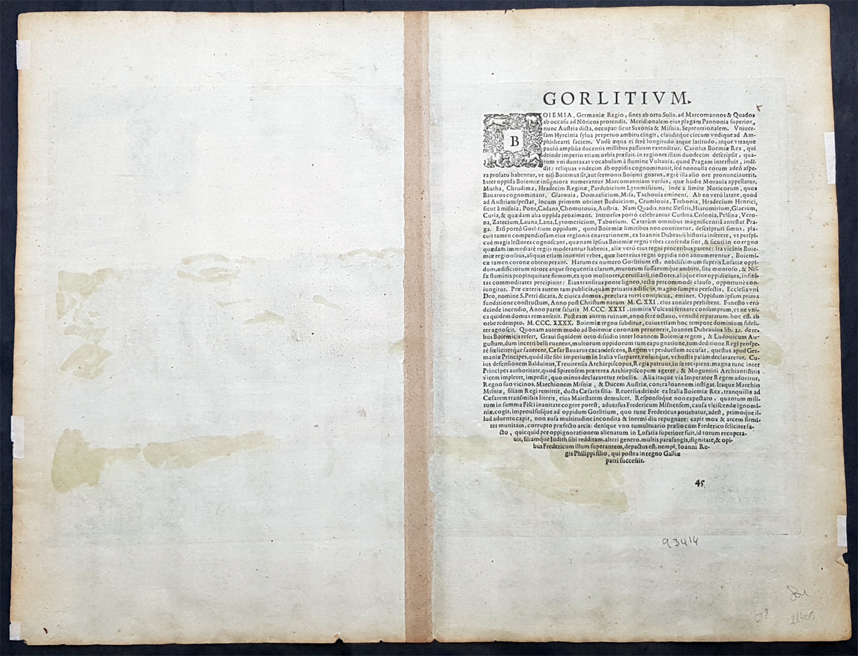
Imperfections:Margins: - Light soilingPlate area: - NoneVerso: - Light soiling
Background:As a small Sorbian village named Gorelic in the Margraviate of Meissen, a frontier march of the Holy Roman Empire, Gorlitz was temporarily conquered and held by the Kingdom of Poland during Bolesław I Chrobrys invasion of Lusatia between 1002 and 1031, after which the region fell back to the Margraviate of Meissen. In 1075, the village was assigned to the Duchy of Bohemia. The date of the towns foundation is unknown. However, Goreliz was first mentioned in a document from the King of Germany, and later Holy Roman Emperor, Henry IV in 1071. This document granted Gorlitz to the Diocese of Meissen, then under Bishop Benno of Meissen. Currently, this document can be found in the Saxony State Archives in Dresden.[3] The origin of the name Gorlitz is derived from the Slavic word for burned land,[4] referring to the technique used to clear land for settlement. Zgorzelec and Czech Zhořelec have the same derivation. In the 13th century the village gradually became a town. Due to its location on the Via Regia, an ancient and medieval trade route, the settlement prospered.In the following centuries Gorlitz was a wealthy member of the Lusatian League, which consisted of Bautzen, Gorlitz, Kamenz, Lauban, Löbau and Zittau. In 1352 during the reign of Casimir the Great, Lusatian German colonists from Gorlitz founded the town of Gorlice in southern Poland near Kraków.The Protestant Reformation came to Gorlitz in the early 1520s and by the last half of the 16th century, it and the surrounding vicinity, became almost completely Lutheran.After suffering for years in the Thirty Years War, the region of Upper Lusatia (including Gorlitz) was ceded to the Electorate of Saxony in 1635. After the Napoleonic Wars, the 1815 Congress of Vienna transferred the town from the Kingdom of Saxony to the Kingdom of Prussia. Gorlitz was subsequently administered within the Province of Silesia, and, after World War I, the Province of Lower Silesia, until 1945.From 1815 until 1918, Gorlitz belonged to the Province of Silesia in the Kingdom of Prussia, and later to the Province of Lower Silesia in the Free State of Prussia. It is the largest town of the former Province of Lower Silesia that lies west of the Oder-Neisse line and hence remained in Germany after World War II. Today, Gorlitz lies opposite the Polish town of Zgorzelec, which was part of Gorlitz until 1945. Together they form the German-Polish Euro City of Gorlitz-Zgorzelec.