Quick Links
Customer Service
We Accept
About Us
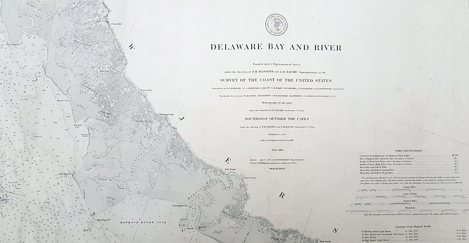
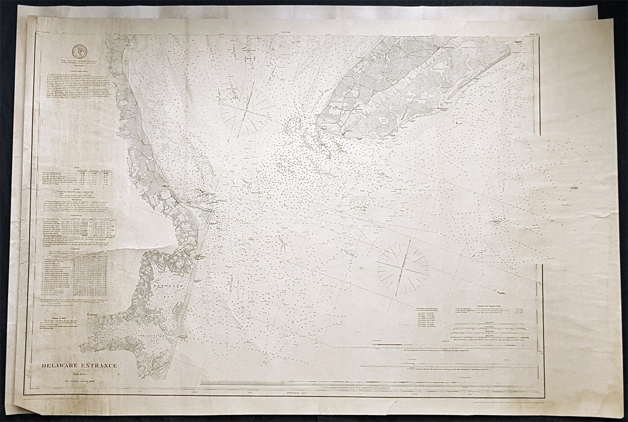
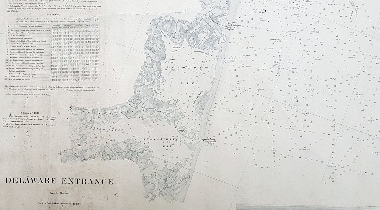
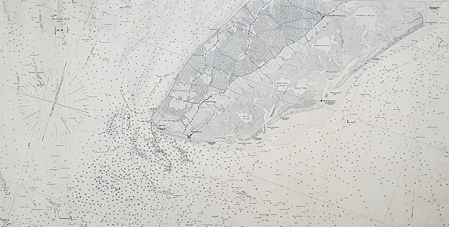
Classical Images was founded 1998 and has built an excellent reputation for supplying high quality original antiquarian maps, historical atlases, antique books and prints.
More Information
Register for Updates
Sign up for our newsletter and be the first to know about recent updates to our collection
© 2026 Classical Images