Welcome to Classical Images!
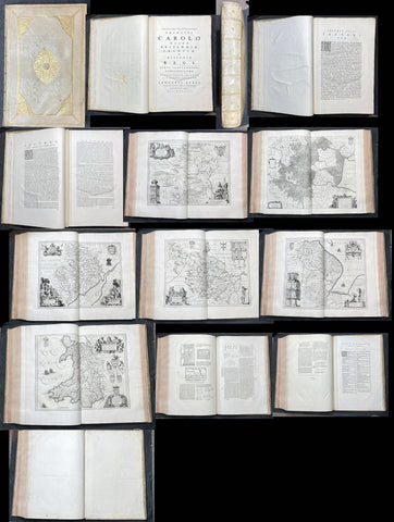
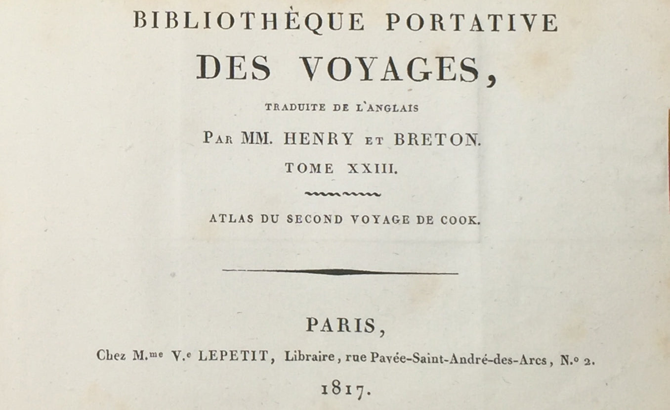
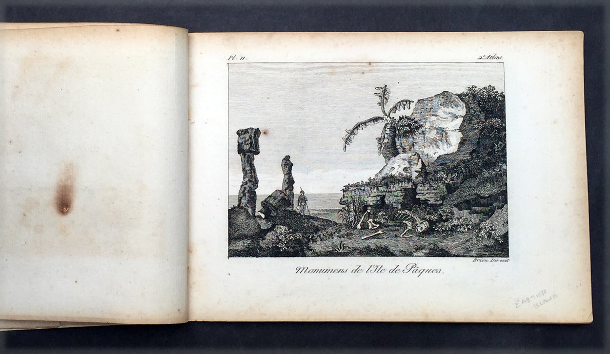
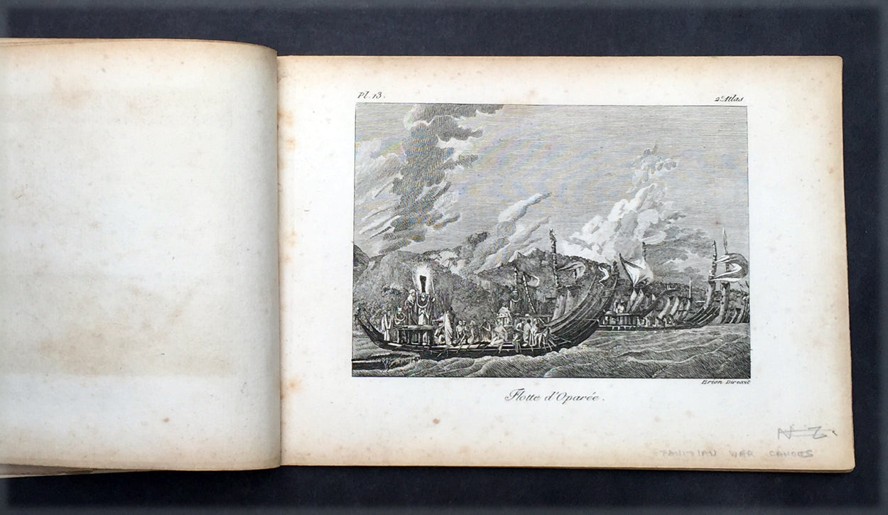
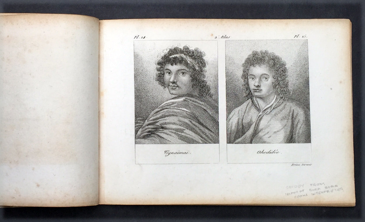
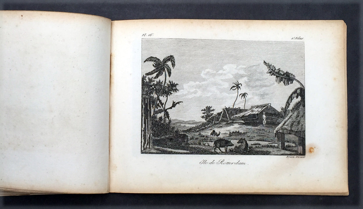
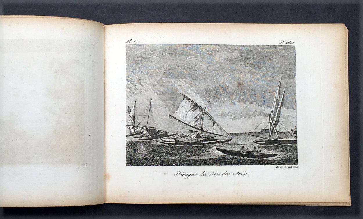
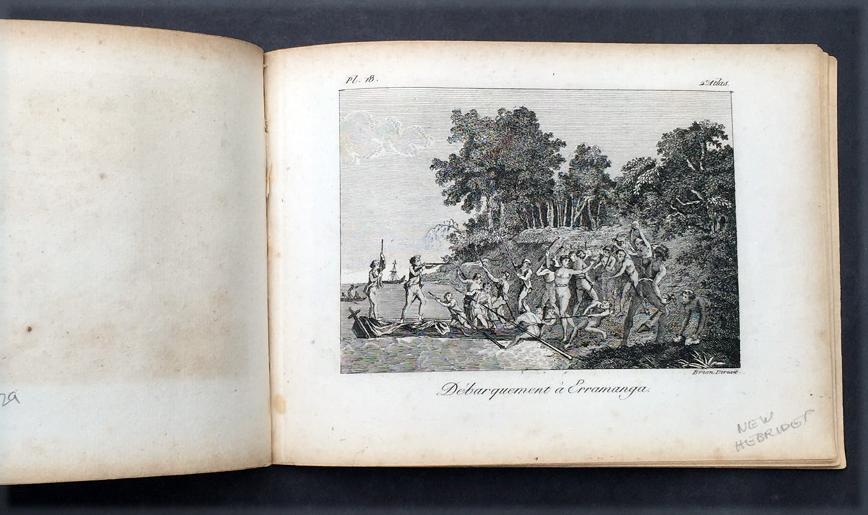
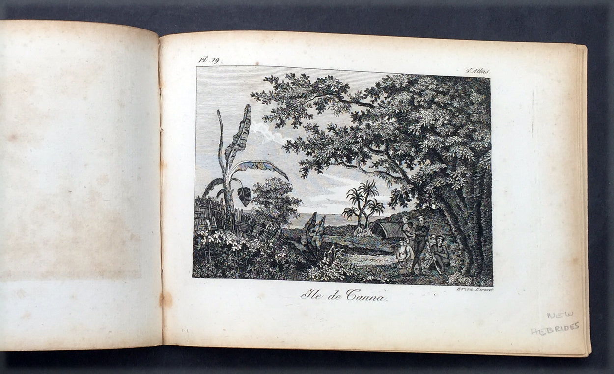
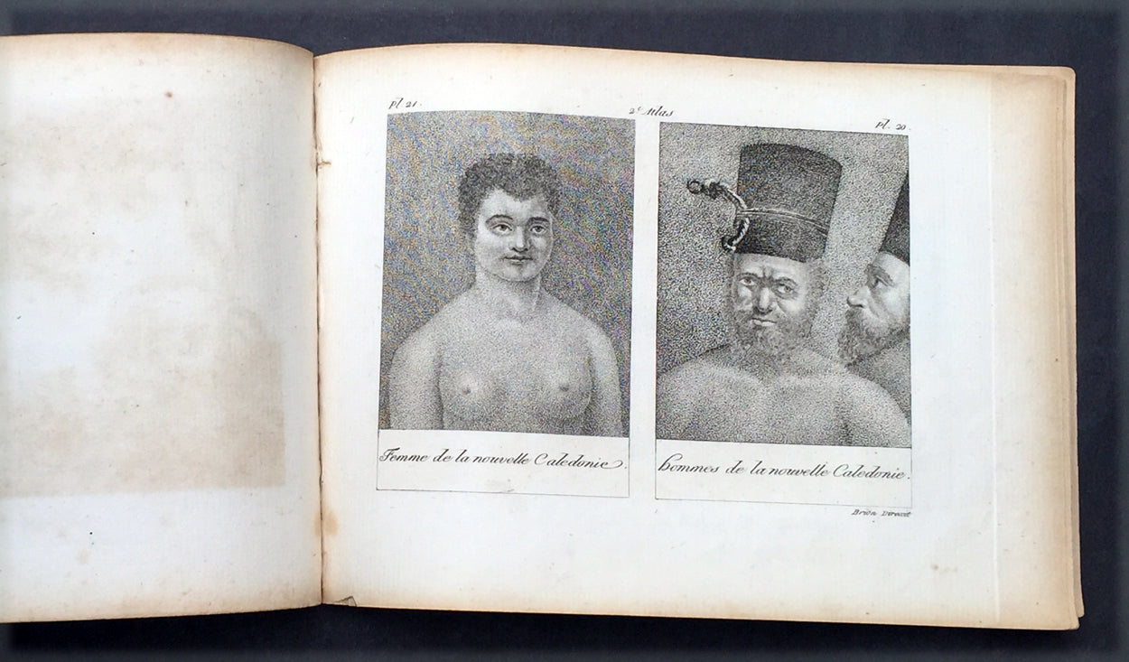
Description: This fine original antique Atlas of Captain James Cooks 2nd Voyage of discovery to the Pacific, The Great South land - Antarctica, translated from the English by M Henry & M Breton, was published by V Lepetit. Paris in 1817 - dated. This atlas contains 22 (of 27) copper-plate engraved prints & map, listed below, sold as a collection of prints. The atlas covers have been removed. Pages are generally clean with light aging to borders, overall VG, 8vo, each page size is 7in x 5in (180mm x 125mm)
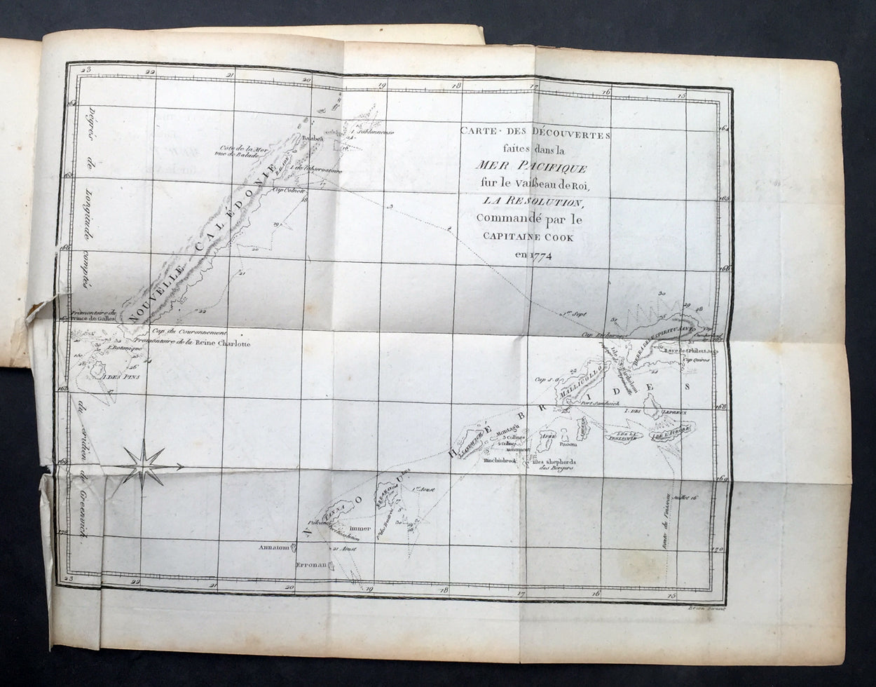
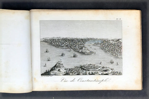
Cook's Second Voyage (1772-1775) Two ships were employed with Cook commanding the Resolution and Captain Tobias Furneaux in charge of the Adventure. The purpose was to circumnavigate the globe as far south as possible to confirm the location of a southern continent. Cook proved that there was no "Terra Australis," which supposedly was located between New Zealand and South America. Cook was convinced, however, that there was land beyond the southern ice fields. In his pursuit of this idea, this expedition was the first European voyage to cross the Antarctic Circle.
Captain James Cook navigator, was born on 27 October 1728 at Marton-in-Cleveland, Yorkshire, England, the son of a Scottish labourer and his Yorkshire wife. He grew up on a farm at Great Ayton, attending the village school, and at 17 was apprenticed to a shopkeeper at Staithes. After eighteen months, with the consent of all concerned, he gave this up for a more enticing apprenticeship of three years under John Walker, a Quaker coal-shipper of Whitby. Here he made some headway with mathematics and navigation and served two years before the mast in the Baltic trade. In 1755 Walker offered him a command, but instead Cook joined H.M.S. Eagle and within a month was master's mate. After two years on the Channel service, he was promoted master of the Pembroke, and in 1758 crossed the Atlantic in her and took part in the siege of Louisburg and the survey of the St Lawrence River that led to the capture of Quebec. Transferred to the Northumberland, he began surveying the coasts of Nova Scotia and Newfoundland, in the winter months at Halifax reading solidly in his chosen subjects. Back in England late in 1762 he married Elizabeth Batts (1742-1832?) of Shadwell, but soon returned to the Newfoundland survey, in 1764 winning his first command in the Grenville. The acquaintance he made here with the future Admiral Sir Hugh Palliser, then governor of Newfoundland and Labrador, the publication of his Newfoundland charts and his observation of a solar eclipse brought him to the attention of the Royal Society and the Admiralty. Although the society recommended Alexander Dalrymple as leader of the expedition to the South Seas to observe the transit of Venus, the Admiralty chose Cook, promoted him from master to lieutenant and gave him command of the Endeavour Bark, 368 tons. He sailed from Plymouth on 26 August 1768 with a complement of ninety-four, including Joseph Banks and his retinue. By way of Cape Horn, they reached Tahiti on 13 April 1769 and duly made their observations on 3 June, meanwhile charting the islands and collecting natural history specimens. Cook also had secret instructions to determine the existence of a southern continent propounded by geographical philosophers. Accordingly he sailed for New Zealand in August, circumnavigated the islands, charted its coast and took formal possession. This work finished, Cook decided 'to steer to the Westward until we fall in with the E coast of New Holland'. At 6 p.m. on 19 April 1770 Lieutenant Hicks saw land, and a point at the south-east of the Australian mainland was named after him. Cook sailed north, charting the coast and seeking a harbour where the Endeavour's fouled bottom could be scraped. On 29 April he landed at Stingray Bay, where Banks and his naturalists collected such varied specimens that the anchorage was renamed Botany Bay. After a week they sailed again, making their second landing at Bustard Bay and a third near Cape Townshend. Further north Cook found himself within the Barrier Reef amidst dangerous shoals. Sounding their way and often preceded by the long-boat, they crept north, making two more landings in search of water, but at 10 p.m. on 11 June the Endeavour struck fast on a coral reef at high tide. Ballast, guns and decayed stores were jettisoned; then, two tides later she was hauled off with windlass and anchors, and after three days beached in the Endeavour River. Repairs and gales delayed them for seven weeks but, after rounding and naming Cape York, on 22 August at Possession Island, Cook once more 'hoisted English Coulers' and took possession of the whole eastern coast, later adding the name, New South Wales, in his journal. Satisfied that New Guinea and New Holland were separate islands, he sailed for Batavia, arriving on 11 October. Repairs and refitting delayed his departure until 26 December, and he did not reach England until 13 July 1771. Not even the modesty of Cook's report could obscure the extent or importance of his achievements. His discoveries, apart from New South Wales, were not new, yet without a chronometer he had charted 5000 miles (8047 km) of coast with unusual accuracy. But he lamented his failure to find the southern continent and pleaded for another opportunity to seek it. He was promoted commander and given charge of an expedition, himself in the Resolution and Tobias Furneaux captain of the Adventure. On this second voyage in 1772-75, Cook circumnavigated the world in high southern latitudes. Its chief importance for Australian discovery was in February and March 1773 when the Adventure, parted from the Resolution by fog and gales, made for the south coast of Van Diemen's Land. Here Furneaux renamed Adventure Bay on Bruny Island, sailed round Tasman Peninsula and up the east coast to Flinders Island, but through bad weather failed to reach Point Hicks before proceeding to rendezvous with the Resolution in New Zealand. On his third voyage Cook, now post-captain and fellow of the Royal Society, visited Adventure Bay himself on 26 January 1777, on his way to New Zealand and Tahiti. He went on to explore the Pacific coasts of North America and Siberia. In November 1778 he was at the Sandwich Islands (Hawaii), where at Kealakekua (Karakakooa) Bay he was killed on 14 February 1779. Cook's strength was his self-confidence. He drove himself as hard as his men yet they followed him loyally, though they sometimes grumbled at his rules of hygiene and at the diet necessary to prevent scurvy, which were singularly successful in preserving the health of his crews. He was also severe on uncompliant natives whom he met on his voyages, and his readiness to use force contributed to his untimely death. His greatest achievements were negative, for they proved where land was not, but his coastal charting set high standards and many of his discoveries helped to create a second British empire.
General Description: Paper thickness and quality: - Heavy, stable Paper color: - off white Age of map color: - Colors used: - General color appearance: - Atlas size: - 8vo Imperfections: Margins: - Age toning Plate area: - Age toning Verso: - Age toning