Welcome to Classical Images!
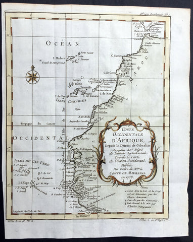
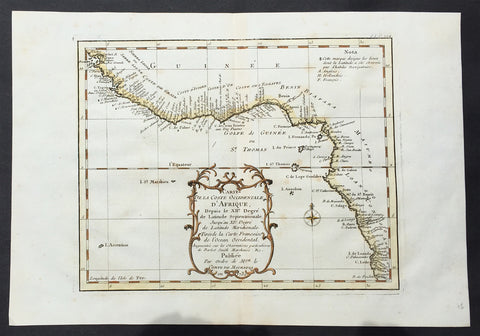
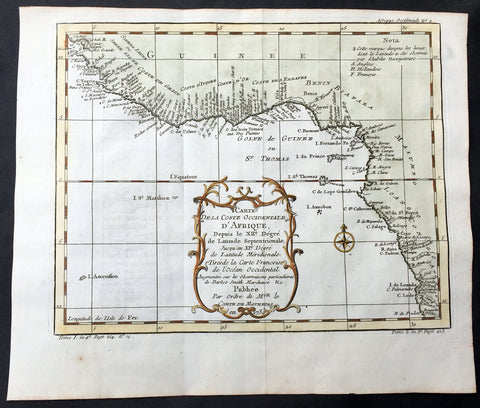
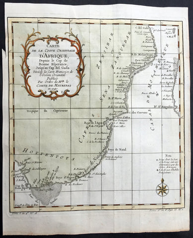
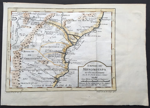
Description: This beautifully hand coloured original antique map of the coastal regions of the western Indian Coast to The Persian Gulf & Saudi Arabia was engraved in 1740 - dated in title cartouche - by Jacques Nicolas Bellin for the 1756 French edition of Antoine-François Prevosts L`Histoire Generale des Voyages printed in 20 volumes by Pierre de Hondt, The Hague between 1747 & 1785. (Ref: Tooley; M&B)
General Condition: Paper thickness and quality: - Heavy and stable Paper color: - off white Age of map color: - Early Colors used: - Red, green, yellow General color appearance: - Authentic Paper size: - 12in x 9in (305mm x 230mm) Plate size: - 10in x 8 1/2in (255mm x 215mm) Margins: - Min 1/2in (12mm)
Imperfections: Margins: - None Plate area: - Folds as issued Verso: - None