Related Products
Sold
Sold

Sold
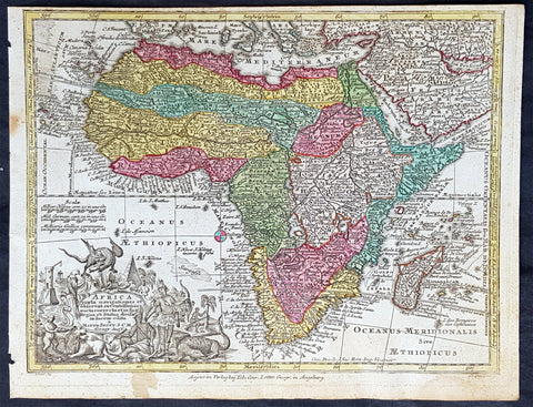
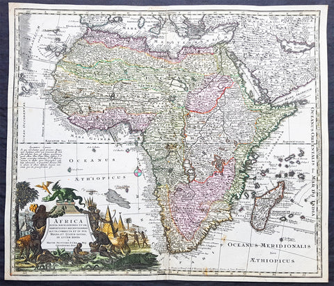
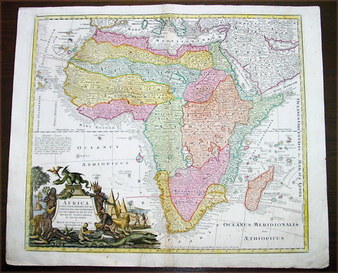
1744 Georg Mattaus Seutter Antique Map of Africa
$375.00 USD
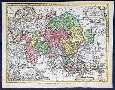
1744 Georg Mattaus Seutter Antique Map of Asia
$375.00 USD
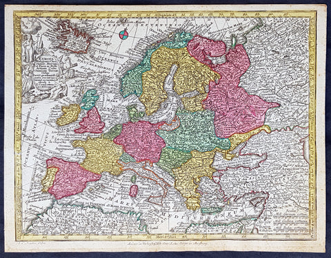
1744 Georg Mattaus Seutter Antique Map of Europe
$299.00 USD
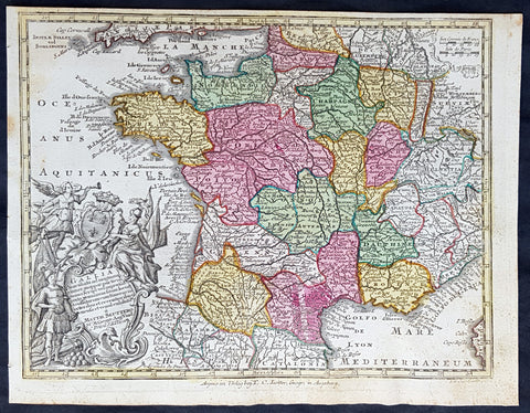
1744 Georg Mattaus Seutter Antique Map of France
$150.00 USD