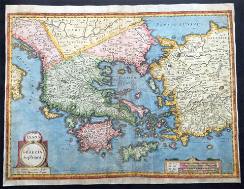
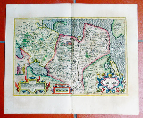
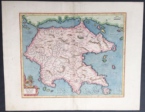
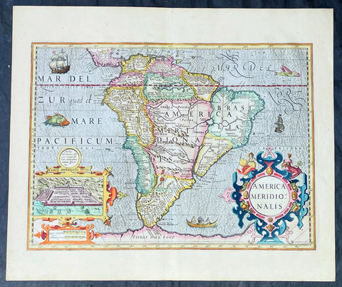
Welcome to Classical Images!
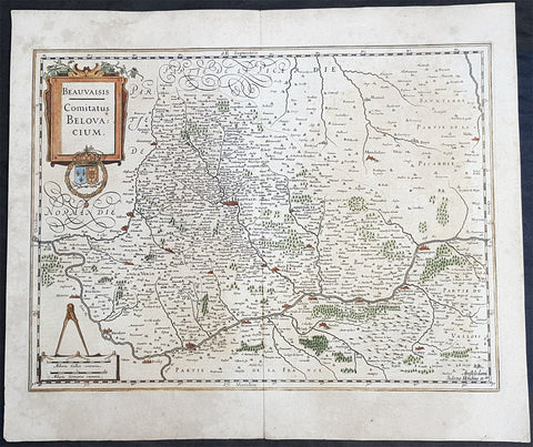
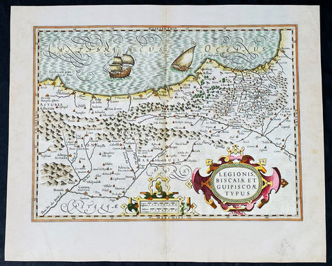
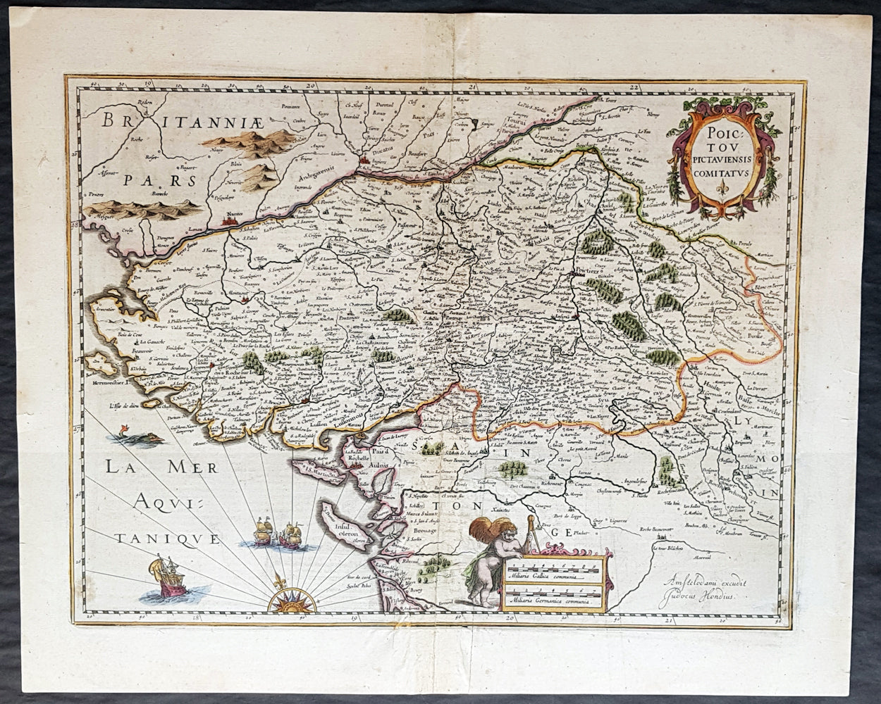
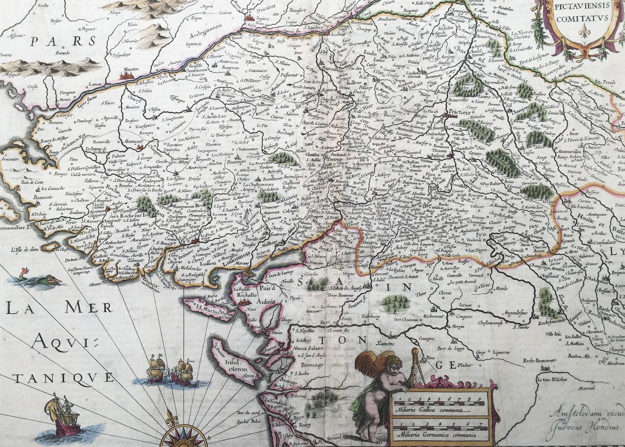
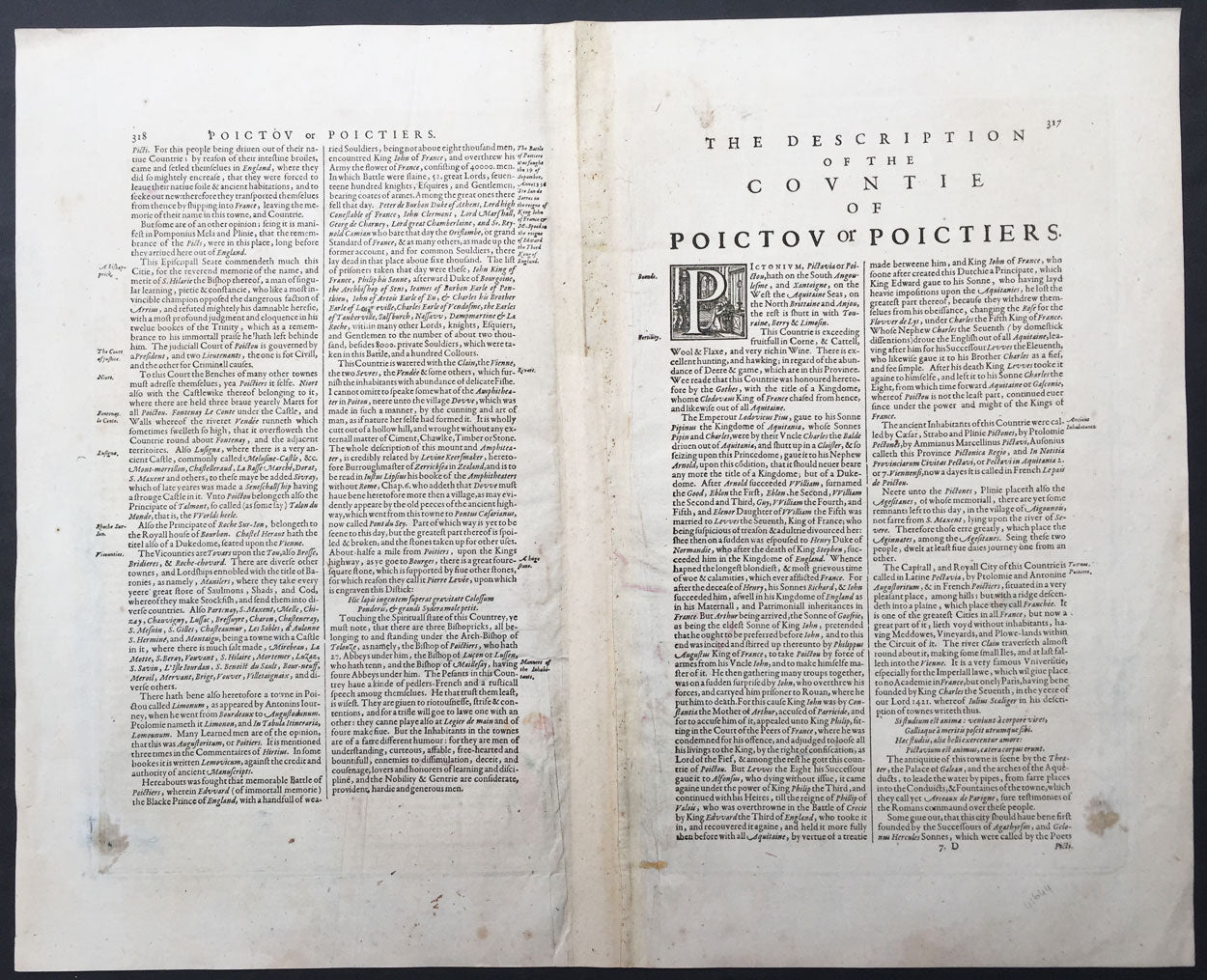
Description:This beautifully hand coloured original copper-plate engraved antique map of the Poitou region of SW France centering on the cities of Nantes and Rochelle was published in the rare 1636 English edition of Gerard Mercators Atlas, published later by Henricus Hondius and Jan Jansson.As there were so few of these atlases published with English text on the verso that maps from them are now understandably scarce.
General Definitions:Paper thickness and quality: - Heavy and stablePaper color : - off whiteAge of map color: - OriginalColors used: - Yellow, green, blue, pinkGeneral color appearance: - AuthenticPaper size: - 22 1/4in x 18 1/2in (570mm x 470mm)Plate size: - 19 1/2in x 15in (500mm x 380mm)Margins: - Min 1in (25mm)
Imperfections:Margins: - Centrefold re-joined with light upliftPlate area: - Centrefold re-joined with light uplift, light creasingVerso: - Light creasing, small repair bottom left not affecting the image
Background: Poitou was a province of west-central France whose capital city was Poitiers. The main historical cities are Poitiers Châtellerault (France\'s kings establishment in Poitou), Niort, La Roche-sur-Yon, Thouars, and Parthenay.The region of Poitou was called Thifalia (or Theiphalia) in the sixth century.There is a marshland called the Poitevin Marsh (French Marais Poitevin) on the Gulf of Poitou, on the west coast of France, just north of La Rochelle and west of Niort.By the Treaty of Paris of 1259, King Henry III of England recognized his loss of continental Plantaganet territory to France (including Normandy, Maine, Anjou, and Poitou).During the late sixteenth and early seventeenth centuries Poitou was a hotbed of Huguenot (French Calvinist) activity among the nobility and bourgeoisie and was severely affected by the French Wars of Religion (1562–1598).Many of the Acadians who settled in what is now Nova Scotia beginning in 1604, and later in New Brunswick, came from the region of Poitou. After the Acadians were deported by the British beginning in 1755, some of them eventually took refuge in Québec. A large portion of these refugees were also deported to Louisiana in 1785 and eventually became known as Cajuns (from Acadians).After the revocation of the Edict of Nantes in 1685, a strong Counter-Reformation effort was made by the French Roman Catholic Church; in 1793, this was partially responsible for the three-year-long open revolt against the French Revolutionary Government in the Bas-Poitou (Département of Vendée). Indeed, during Napoleon’s Hundred Days in 1815, the Vendée stayed loyal to the Restoration Monarchy of King Louis XVIII and Napoleon dispatched 10,000 troops under General Lamarque to pacify the region.As noted by Lampert, The persistent Huguenots of 17th Century Poitou and the fiercely Catholic rebellious Royalists of what came be the Vendée of the late 18th Century had ideologies very different, indeed diametrically opposed to each other. The common thread connecting both phenomena is a continuing assertion of a local identity and opposition to the central government in Paris, whatever its composition and identity. (...) In the region where Louis XIII and Louis XIV had encountered stiff resistance, the House of Bourbon gained loyal and militant supporters exactly when it had been overthrown and when a Bourbon loyalty came to imply a local loyalty in opposition to the new central government, that of Robespierre