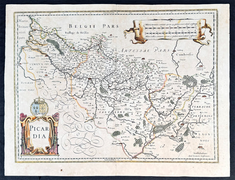
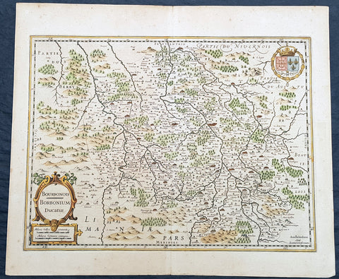
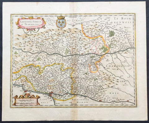
Welcome to Classical Images!
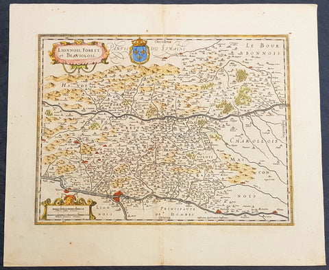
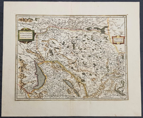
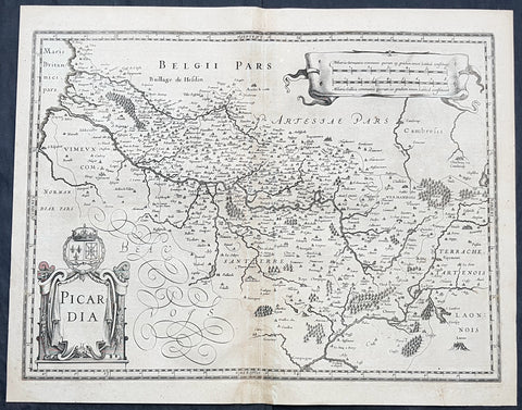
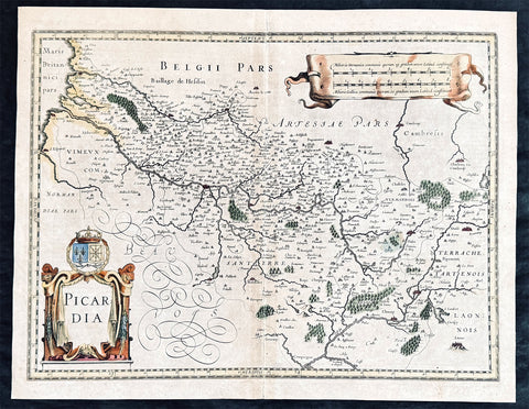
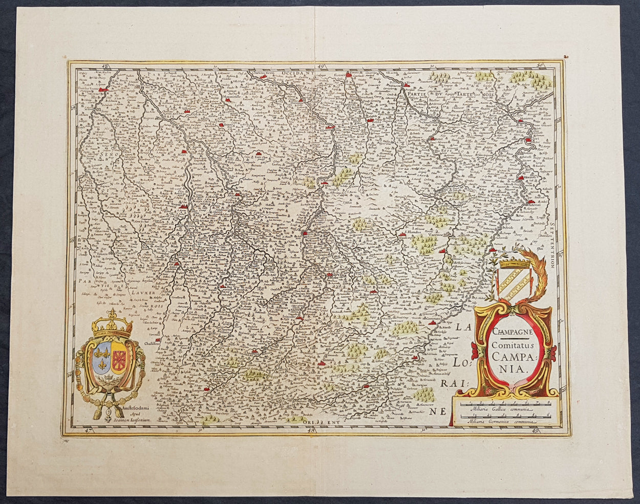
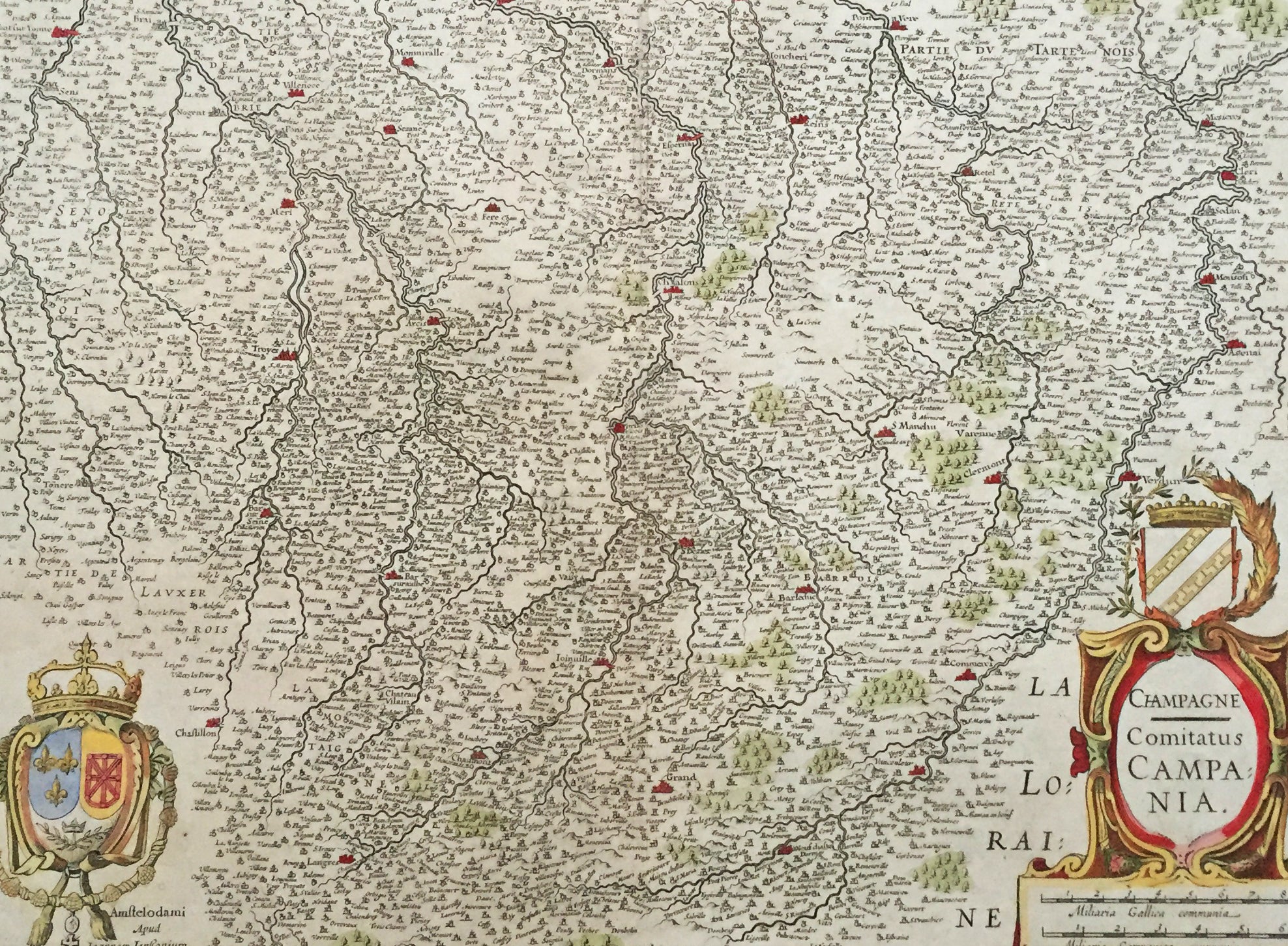
Description: This large beautifully hand coloured original antique map of The Champagne region of France was published in the 1619 edition ofMercators Atlas published by Henricus Hondius and Jan Jansson. The map centres on the city of Chalons east to Verdun, west to Troyes, north to Dormans and south to Chaumont. (Ref: Tooley, Koeman)
General Description: Paper thickness and quality: - Heavy and stable Paper color: - off white Age of map color: - Early Colors used: - Green, red, orange, yellow, blue General color appearance: - Authentic Paper size: - 24in x 19 1/2in (610mm x 495mm) Plate size: - 20in x 15in (535mm x 380mm) Margins: - Min 1in (25mm) Imperfections: Margins: - None Plate area: - None Verso: - None