Welcome to Classical Images!
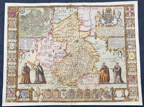
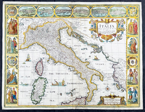
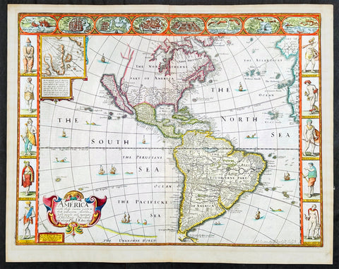
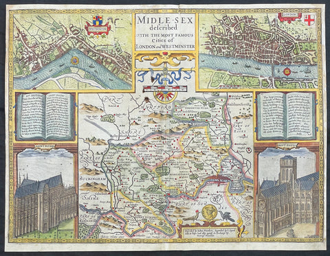
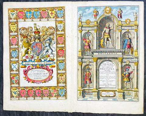
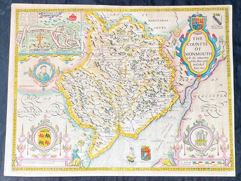
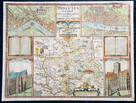
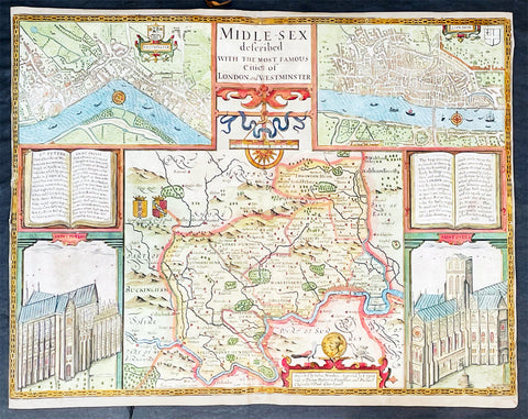
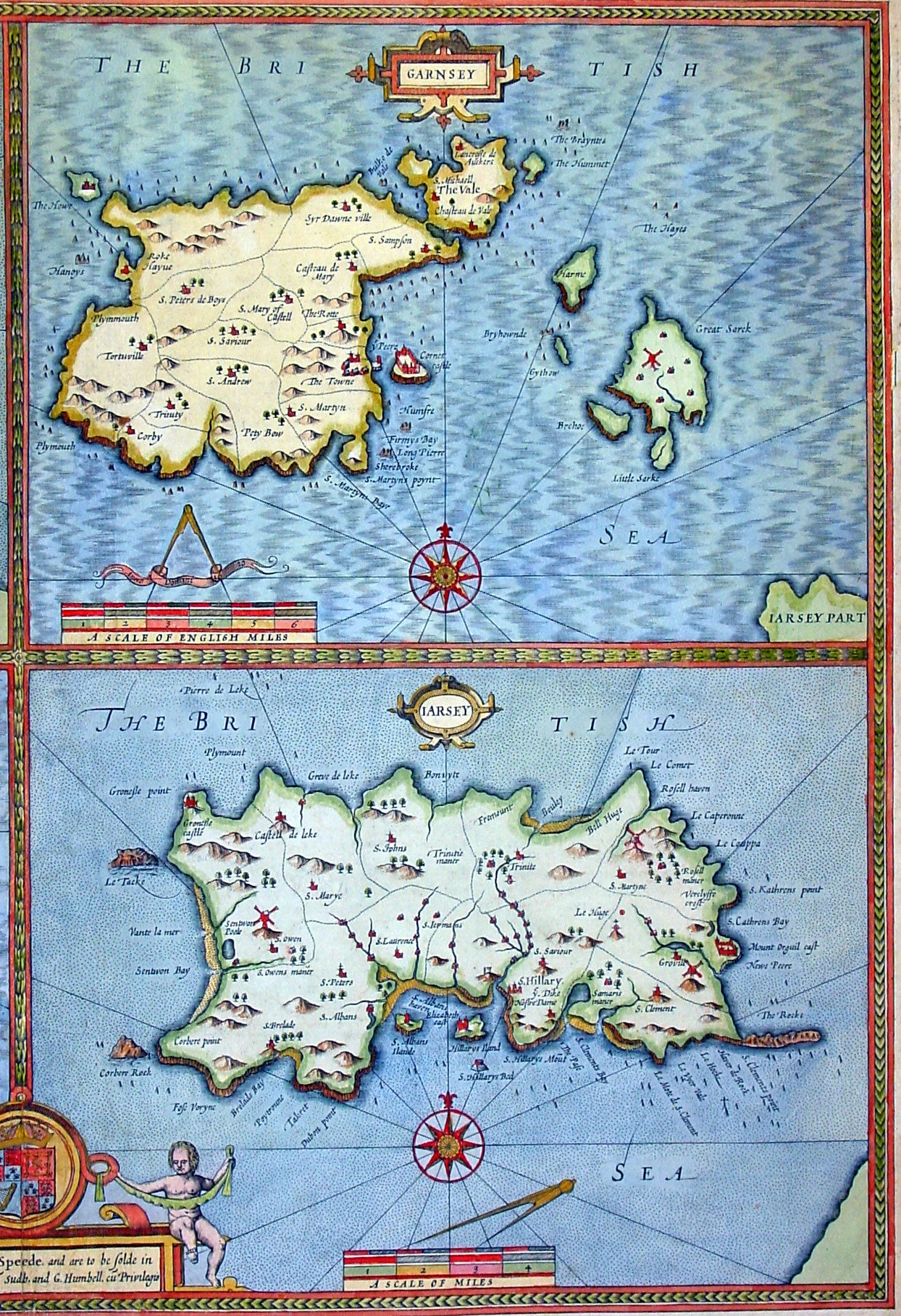
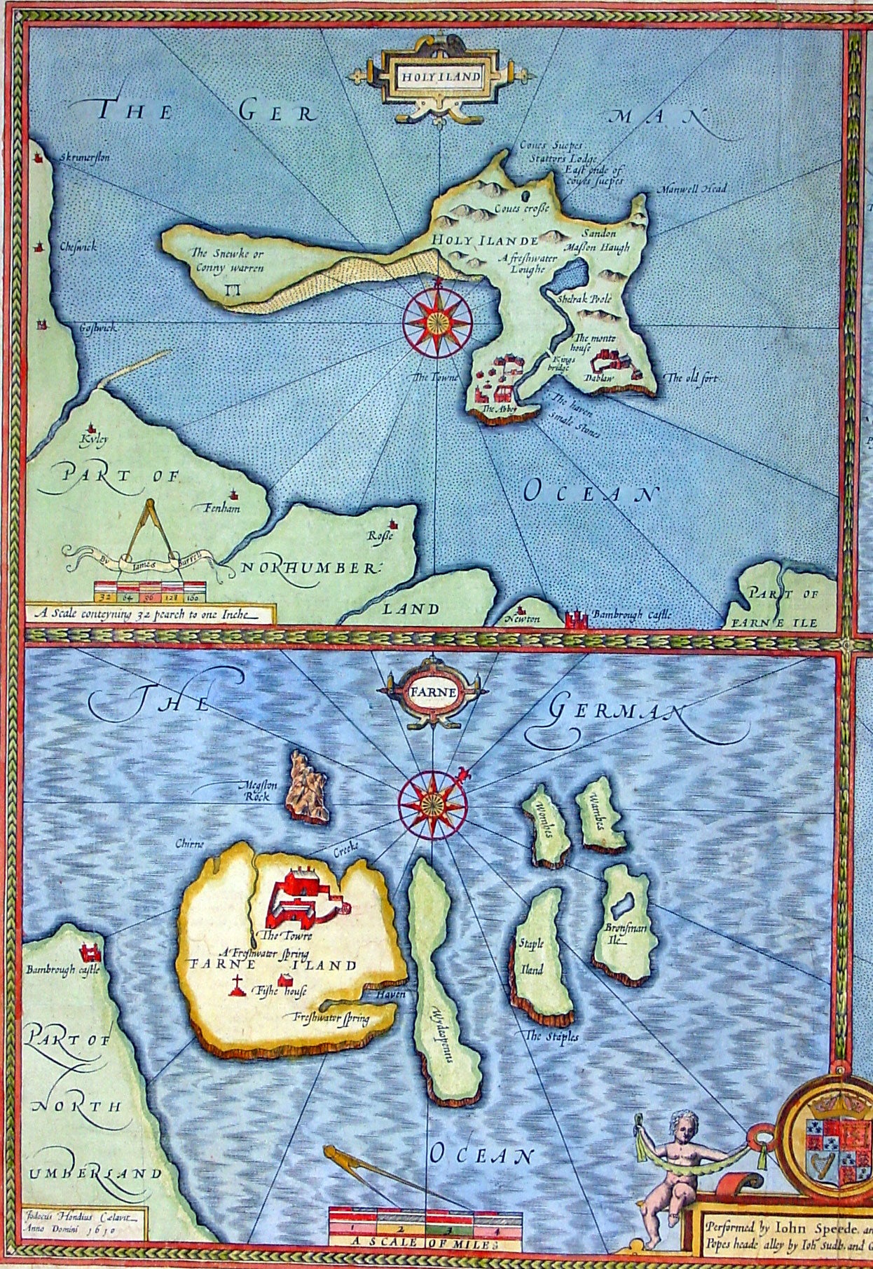
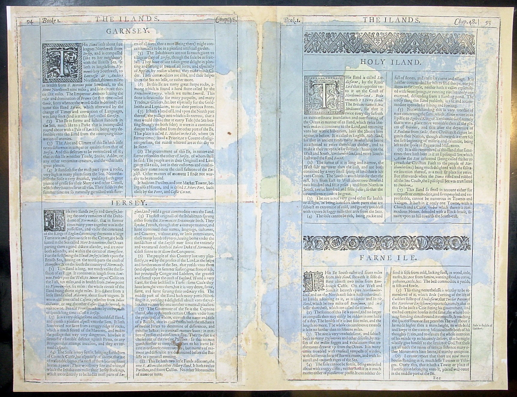
Description:This finely engraved beautifully hand coloured original antique map by John Speed of the English Islands of Holy & Farne Island's; Guernsey & Jersey was published by John Sudbury & George Humbell in the 1611 1st edition of John Speeds famous atlas The Theatre of the Empire of Great Britaine, first published in 1611. The verso contains text in English describing the 4 Islands and their history. (Ref: Tooley; M&B)
General Description: Paper thickness and quality: - Heavy and stable Paper color: - off white Age of map color: - Original & later color Colors used: - Yellow, green, blue, red, pink General color appearance: - Beautiful Paper size: - 21in x 16in (535mm x 405mm) Plate size: - 20 1/2in x 15 1/2in (520mm x 395mm) Margins: - Min 1/4in (6mm) Imperfections: Margins: - Restoration to top, left & bottom margins Plate area: - Light creasing, repair to bottom publishers cartouche, no lo0ss Verso: - Colour show through, restoration to bottom centrefold and margins as noted