J N Buache
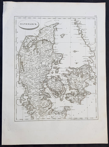
1804 Jean N Buache Original Antique Map of Denmark
- Title : Danemarck
- Size: 13in x 9 1/2in (330mm x 245mm)
- Ref #: 34190
- Date : 1804
- Condition: (A+) Fine Condition
Description:
This fine original copper-plate engraved antique map was published in the 1804 edition of Jean Nicolas Buache Atlas Geographie Moderne.
The maps in this atlas were illustrated by Jean Nicolas Buache - nephew to Phillipe Buache who was son-in-law to Nicolas Delisle - after maps published by the Scottish publisher John Pinkerton.
General Definitions:
Paper thickness and quality: - Heavy and stable
Paper color : - off white
Age of map color: -
Colors used: -
General color appearance: -
Paper size: - 13in x 9 1/2in (330mm x 245mm)
Plate size: - 11in x 9in (280mm x 230mm)
Margins: - Min 1/2in (12mm)
Imperfections:
Margins: - Light soiling in margins
Plate area: - None
Verso: - None
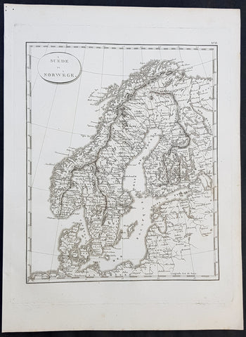
1804 Jean N Buache Original Antique Map of Scandinavia, Sweden Norway & Baltics
- Title : A Suede et Norwege
- Size: 13in x 9 1/2in (330mm x 245mm)
- Ref #: 34191
- Date : 1804
- Condition: (A+) Fine Condition
Description:
This fine original copper-plate engraved antique map was published in the 1804 edition of Jean Nicolas Buache Atlas Geographie Moderne.
The maps in this atlas were illustrated by Jean Nicolas Buache - nephew to Phillipe Buache who was son-in-law to Nicolas Delisle - after maps published by the Scottish publisher John Pinkerton.
General Definitions:
Paper thickness and quality: - Heavy and stable
Paper color : - off white
Age of map color: -
Colors used: -
General color appearance: -
Paper size: - 13in x 9 1/2in (330mm x 245mm)
Plate size: - 11in x 9in (280mm x 230mm)
Margins: - Min 1/2in (12mm)
Imperfections:
Margins: - Light soiling in margins
Plate area: - None
Verso: - None
1804 Jean N Buache Original Antique Map of Spain, Portugal & Balearic Islands
- Title : Espagne et Portugal
- Size: 13in x 9 1/2in (330mm x 245mm)
- Ref #: 34186
- Date : 1804
- Condition: (A+) Fine Condition
Description:
This fine original copper-plate engraved antique map was published in the 1804 edition of Jean Nicolas Buache Atlas Geographie Moderne.
The maps in this atlas were illustrated by Jean Nicolas Buache - nephew to Phillipe Buache who was son-in-law to Nicolas Delisle - after maps published by the Scottish publisher John Pinkerton.
General Definitions:
Paper thickness and quality: - Heavy and stable
Paper color : - off white
Age of map color: -
Colors used: -
General color appearance: -
Paper size: - 13in x 9 1/2in (330mm x 245mm)
Plate size: - 11in x 9in (280mm x 230mm)
Margins: - Min 1/2in (12mm)
Imperfections:
Margins: - Light soiling in margins
Plate area: - None
Verso: - None


