Welcome to Classical Images!
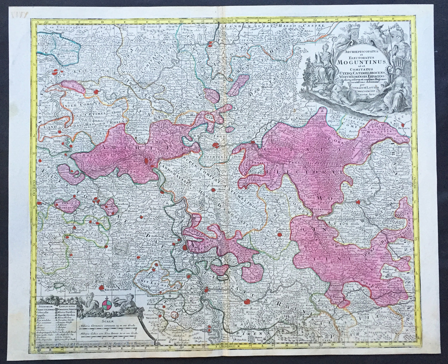
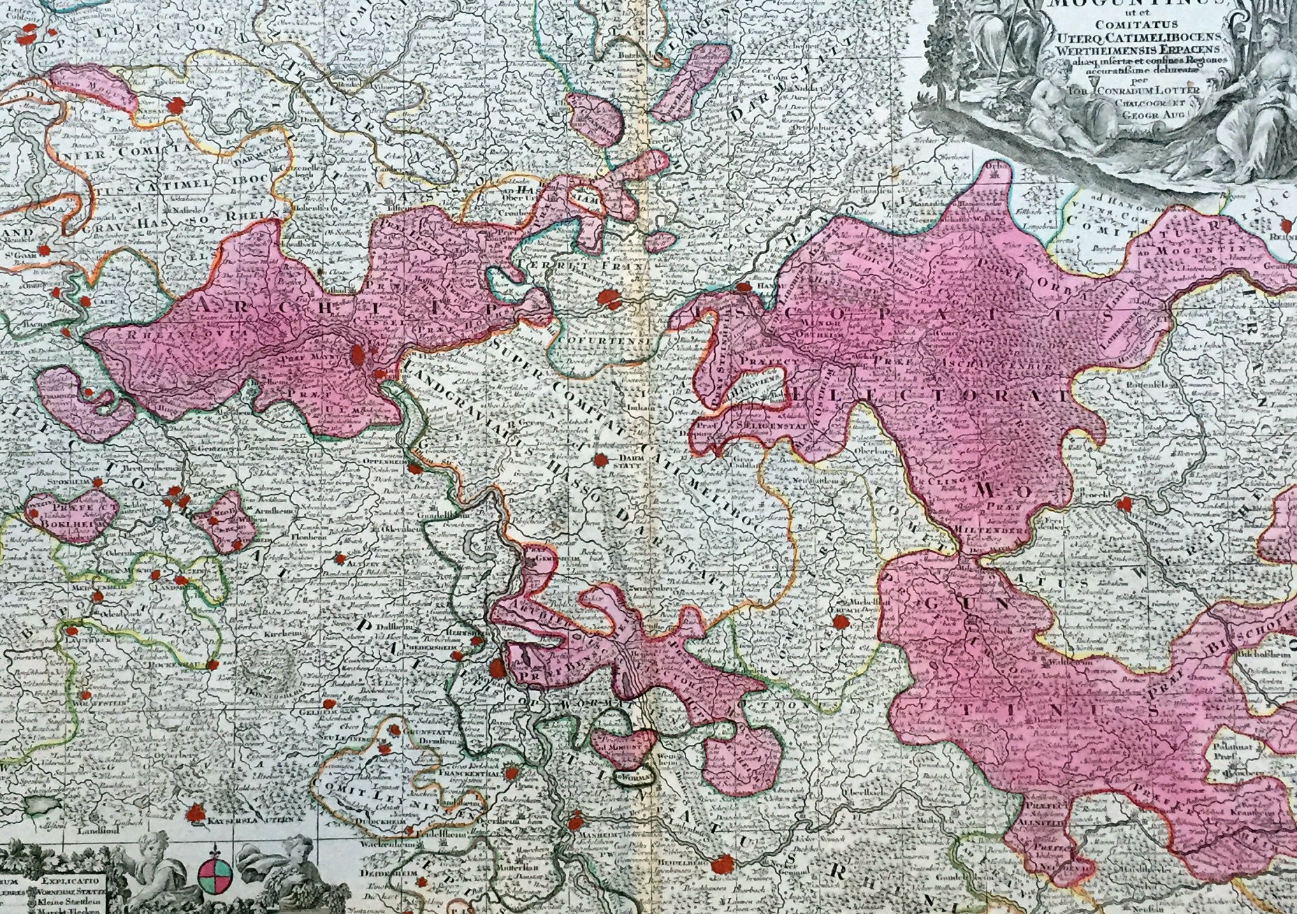
Description:This large beautiful hand coloured original antique map of the Rhine River region of central western Germany was engraved by Tobias Conrad Lotter in 1756.
The map centres on the city of Frankfurt stretches along the Rhine River from Koblenz in the North to Speir in the South. Wertheim in the east to Kern in the west (Ref: Tooley, M&B)
General Description: Paper thickness and quality: - Heavy and stable Paper color: - off white Age of map color: - Original Colors used: - Pink, green, yellow, blue General color appearance: - Authentic Paper size: - 25in x 20in (635mm x 510mm) Plate size: - 22 ½in x 19 ½in (570mm x 495mm) Margins: - Min 1/2in (12mm) Imperfections: Margins: - None Plate area: - None Verso: - None