Welcome to Classical Images!
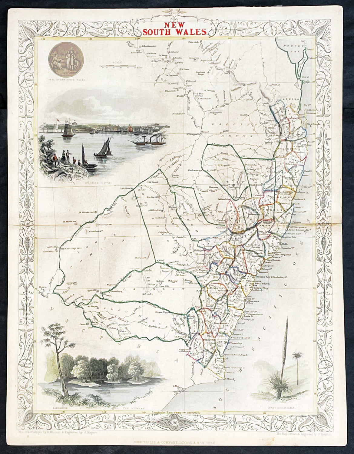
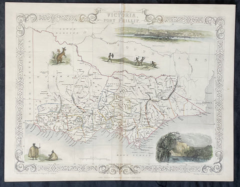
Description:This original hand coloured, steel plate engraved antique map of New South Wales, Australia with vignettes of Sydney Harbour and The Murray was engraved by John Rapkin and published by John Tallis in 1851.
General Definitions:Paper thickness and quality: - Heavy and stablePaper color : - off whiteAge of map color: - OriginalColors used: - BlueGeneral color appearance: - AuthenticPaper size: - 14in x 11in (355mm x 280mm)Plate size: - 14in x 11in (355mm x 280mm)Margins: - Min 1/2in (12mm)
Imperfections:Margins: - NonePlate area: - NoneVerso: - None
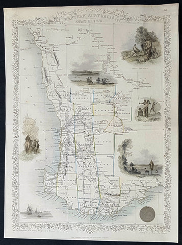
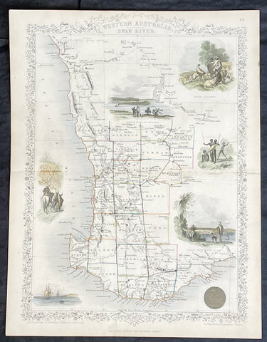
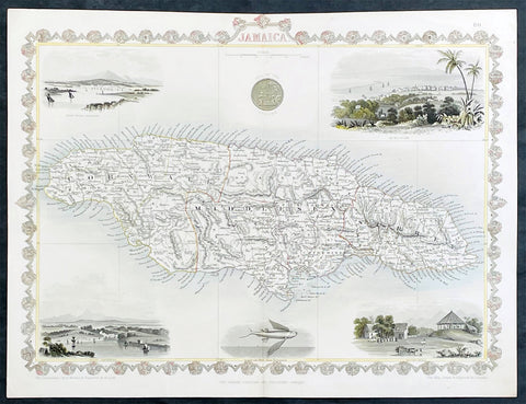
Background:The firm of Tallis & Company flourished from 1835 to 1860 with varying imprints. Their illustrated Atlas of 1850-51 was one of the last decorative atlases, all the maps being engraved on steel and all adorned with small vignettes. (Ref: Tooley; M&B)