Welcome to Classical Images!
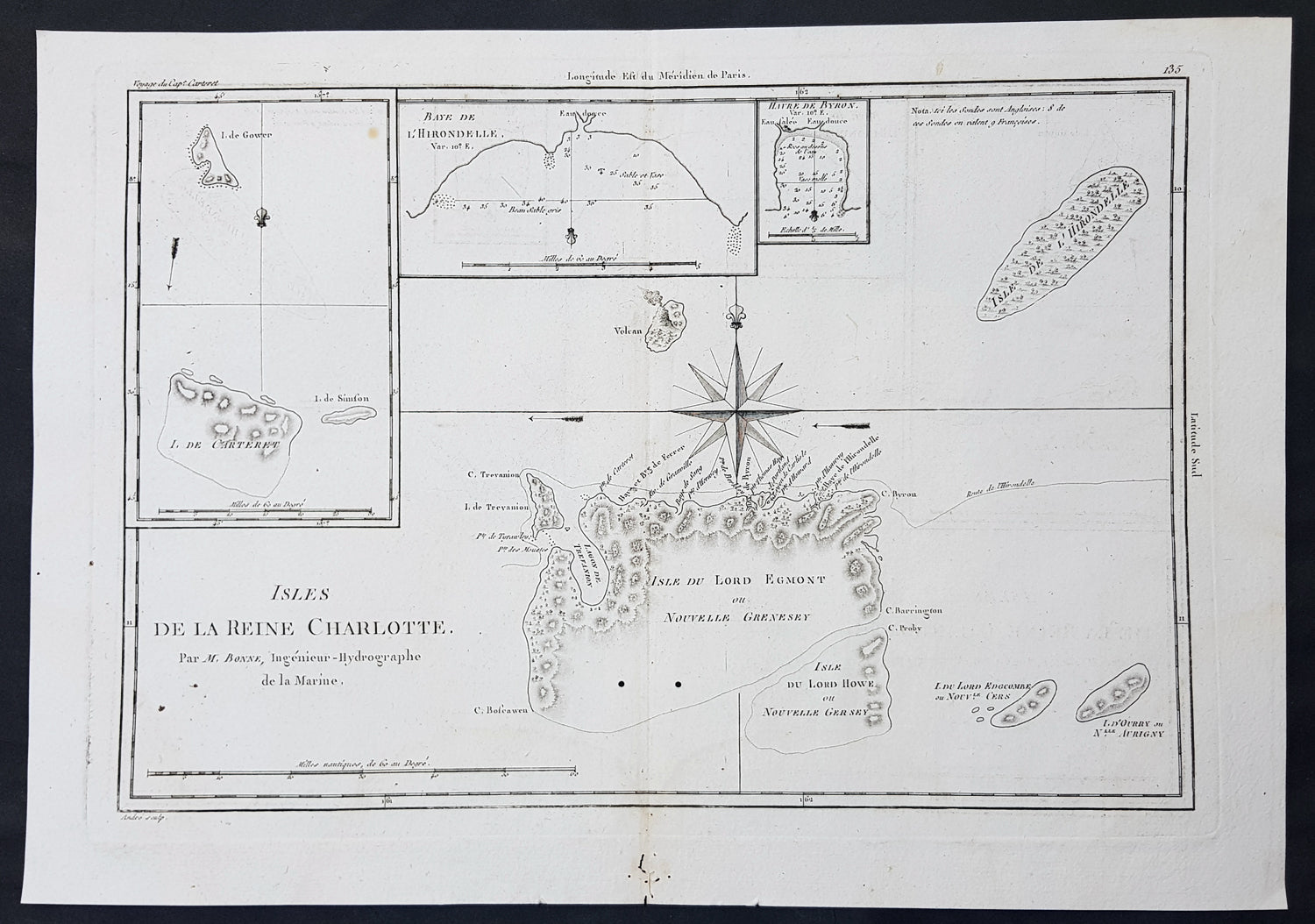
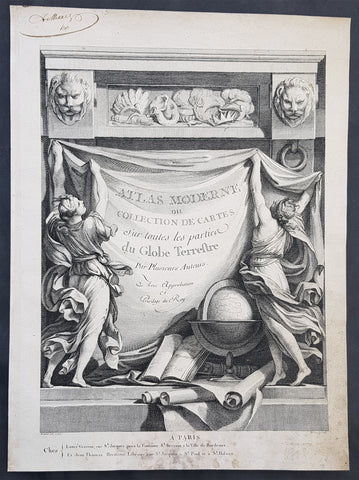
Description:This fine original copper-plate engraved antique map of Santa Cruz Island, of the Temotu Province in the Solomon Islands, Nendo Island & Lord Howe Island was published in 1780 edition of Atlas des toutes les parties connues du globe terrestre by Rigobert Bonne & Guillaume Raynal.
General Definitions:Paper thickness and quality: - Heavy and stablePaper color : - off whiteAge of map color: - Colors used: - General color appearance: - Paper size: - 16in x 11in (405mm x 2805mm)Plate size: - 14in x 10in (355mm x 255mm)Margins: - Min 1/2in (12mm)
Imperfections:Margins: - Small worm holes in bottom marginPlate area: - Two small worm holes adjacent to bottom centerfoldVerso: - None
Background: Map of four island with compass rose. Santa Cruz Island, of Santa Cruz Island, of the Temotu Province in the Solomon Islands, based on Cook\'s discoveries, was named after Queen Charlotte, wife of King George III.The Isle du Lord Edgemont (present day Nendo Island) and Isle du Lord Howe islands have been only partially engraved to show the explored portions.