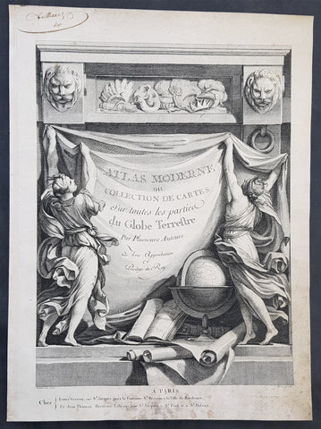
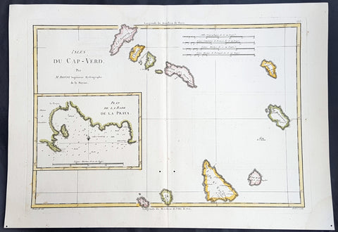
Welcome to Classical Images!
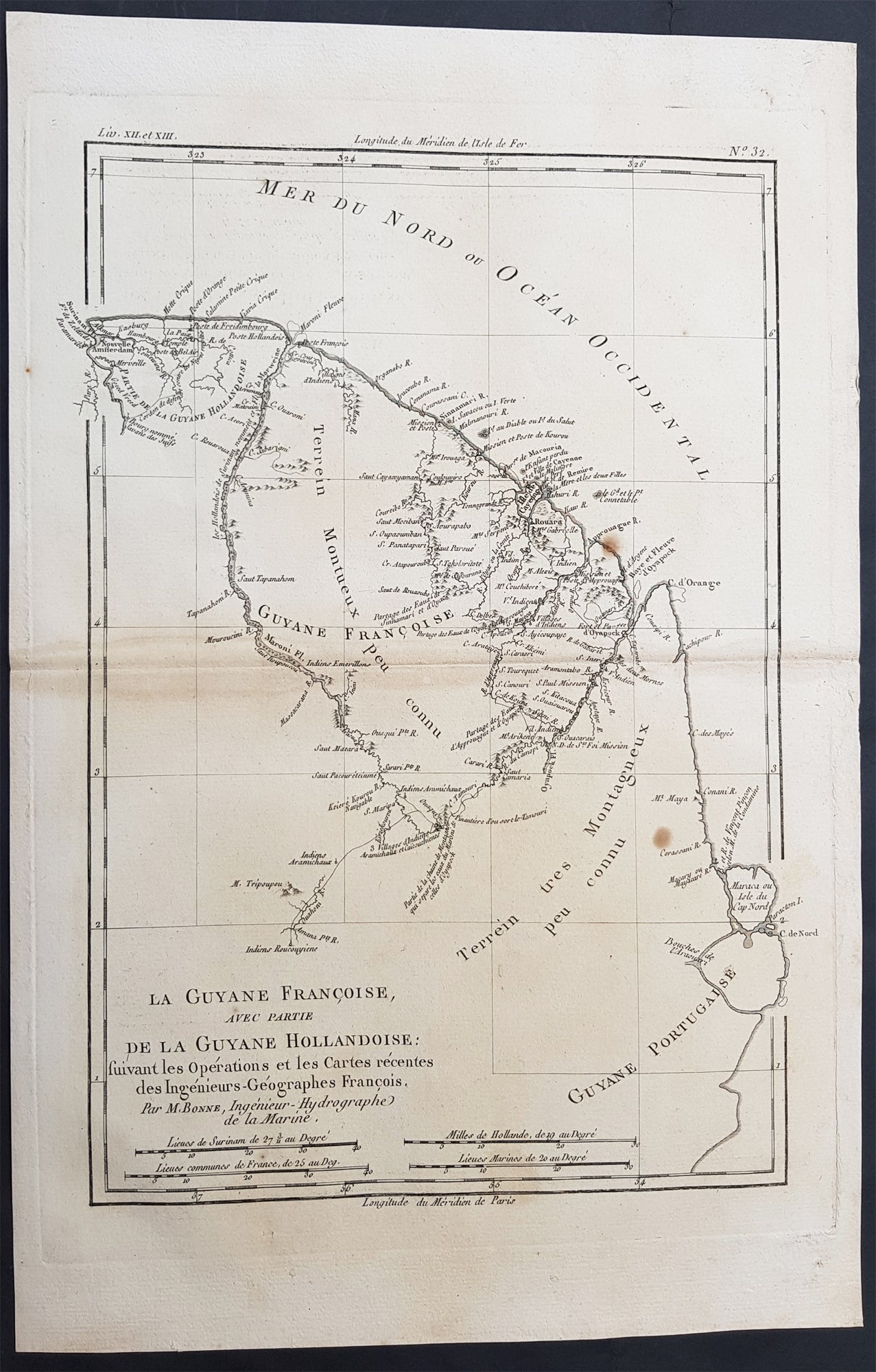
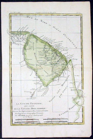
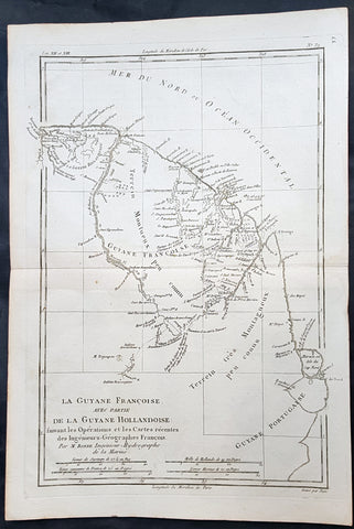
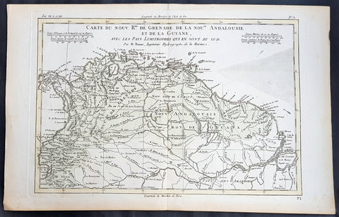
Description: This fine original antique map of French & Dutch Guyana, South America by Rigobert Bonne was published in the 1780 edition of Atlas des toutes les parties connues du globe terrestre by Guillaume Raynal. (Ref Tooley M&B)
General Description: Paper thickness and quality: - Heavy and stable Paper color: - White Age of map color: - Colors used: - General color appearance: - Paper size: - 15in x 10in (385mm x 255mm) Plate size: - 13in x 9in (330mm x 230mm) Margins: - Min 1in (25mm)
Imperfections: Margins: - Light age toning Plate area: - Light age toning Verso: - Light age toning
Background: In 1498 French Guiana was first visited by Europeans when Christopher Columbus sailed to the region on his third voyage and named it the \"Land of pariahs\".[citation needed] In 1608 the Grand Duchy of Tuscany did an expedition to the area in order to create an Italian colony for the commerce of Amazonian products to Renaissance Italy, but the sudden death of Ferdinando I de\' Medici, Grand Duke of Tuscany stopped it.In 1624 France attempted to settle in the area, but was forced to abandon it in the face of hostility from the Portuguese, who viewed it as a violation of the Treaty of Tordesillas. However French settlers returned in 1630 and in 1643 managed to establish a settlement at Cayenne along with some small-scale plantations. This second attempt would again be abandoned following Amerindian attacks. In 1658 the Dutch West Indies Company seized French territory to establish the Dutch colony of Cayenne. The French returned once more in 1664, and founded a second settlement at Sinnamary (this was attacked by the Dutch in 1665).In 1667 the English seized the area. Following the Treaty of Breda on 31 July 1667 the area was given back to France. The Dutch briefly occupied it for a period in 1676.After the Treaty of Paris in 1763, which deprived France of almost all her possessions in the Americas other than Guiana and a few islands, Louis XV sent thousands of settlers to Guiana who were lured there with stories of plentiful gold and easy fortunes to be made. Instead they found a land filled with hostile natives and tropical diseases. One and a half years later only a few hundred survived. These fled to three small islands which could be seen off shore and named them the Iles de Salut (or \"Islands of Salvation\"). The largest was called Royal Island, another St. Joseph (after the patron saint of the expedition), and the smallest of the islands, surrounded by strong currents, Île du Diable (the infamous \"Devil\'s Island\"). When the survivors of this ill-fated expedition returned home, the terrible stories they told of the colony left a lasting impression in France.In 1794, after the death of Robespierre, 193 of his followers were sent to French Guiana. In 1797 the republican general Pichegru and many deputies and journalists were also sent to the colony. When they arrived they found that only 54 of the 193 deportées sent out three years earlier were left; 11 had escaped, and the rest had died of tropical fevers and other diseases. Pichegru managed to escape to the United States and then returned to France where he was eventually executed for plotting against Napoleon.Later on, slaves were brought out from Africa and plantations were established along the more disease-free rivers. Exports of sugar, hardwood, Cayenne pepper and other spices brought a certain prosperity to the colony for the first time. Cayenne, the capital, was surrounded by plantations, some of which had several thousand slaves.