Welcome to Classical Images!
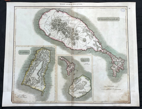
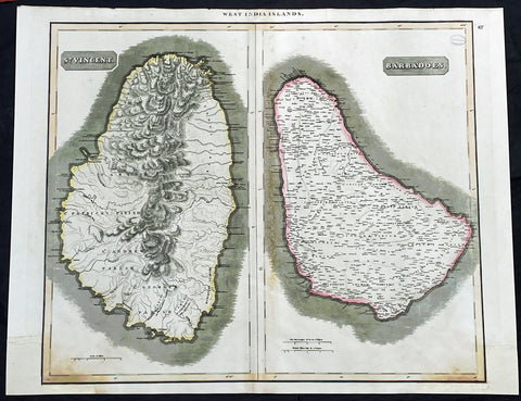
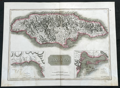
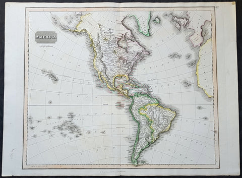
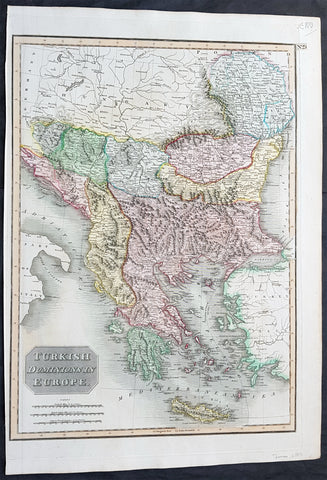
Description:This large original, beautifully hand coloured copper plate engraved antique map of the Caribbean Islands of Martinique and Dominica was published by John Thomson in his large elephant folio 1817 edition of A New General Atlas of the World. (Ref Tooley M&B)
General Definitions:Paper thickness and quality: - Heavy and stablePaper color : - off whiteAge of map color: - OriginalColors used: - Yellow, green, blue, pinkGeneral color appearance: - AuthenticPaper size: - 27in x 21in (685mm x 535mm)Plate size: - 27in x 21in (685mm x 535mm)Margins: - Min 1/2in (12mm)
Imperfections:Margins: - Bottom L&R margins extended from borders, not affecting the imagePlate area: - Light age toningVerso: - Age toning