Welcome to Classical Images!
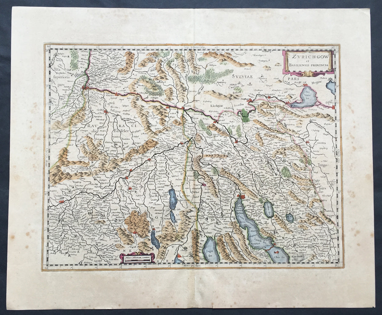
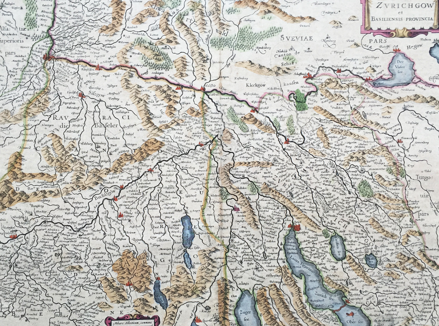
Description: This beautifully hand coloured original antique map* of the northern Cantons of Zurich & Basel, Switzerland was published in the rare 1636 English edition of Mercator's Atlas, by Henricus Hondius and Jan Jansson. The map encompasses an area along the Rhine River north from Basel, south to Zurich & Lake Zurich, east into western Austria and as far west to the city of Solothurn. As there were so few of these atlases published with English text on the verso, maps from them are now understandably scarce.
The text running for two pages on the verso of this map describes the region or country name, history (as it was), temperature, seasons, soil and agricultural productivity. Also described is the topography, wildlife, local inhabitants their culture and religion, as well as a description of major European and local towns and cities. This text makes extremely enjoyable reading and a very good insight not only into the area described but the general European attitudes towards alien countries and cultures.
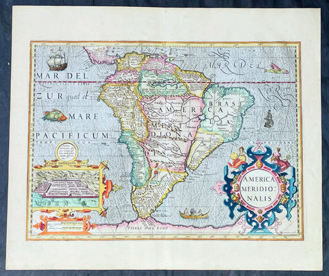
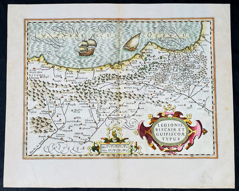
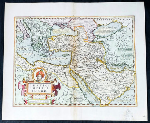
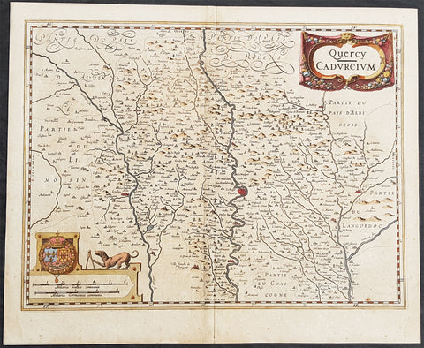
Jodocus Hondius (1563 - 1612), one of the most notable engravers of his time, is known for his work in association with many of the cartographers and publishers prominent at the end of the sixteenth and the beginning of the seventeenth century. In 1604 Hondius bought the plates of Mercator's Atlas which, in spite of its excellence, had not competed successfully with the continuing demand of Abraham Ortelius's Theatrum Orbis Terrarum. To meet this competition Hondius added about 40 maps to Mercator's original number and from 1606 published enlarged editions in many languages, still under Mercator's name but with his own name as publisher. These atlases have become known as the Mercator/Hondius series. The following year the maps were re-engraved in miniature form and issued as a pocket Atlas Minor. After the death of Jodocus Hondius the Elder in 1612, work on the two atlases, folio and miniature, was carried on by his widow and sons, Jodocus II and Henricus, and eventually in conjunction with Jan Jansson in Amsterdam. In all, from 1606 onwards, nearly 50 editions with increasing numbers of maps with texts in the main European languages were printed. (Ref: Koeman; M&B; Tooley)
Condition Report: Paper thickness and quality: - Heavy and stable Paper color: - off white Age of map color: - Original Colors used: - Yellow, pink, green General color appearance: - Authentic Paper size: - 22in x 18 1/2in (560mm x 470mm) Plate size: - 18 1/2in x 14in (470mm x 355mm) Margins: - Min 1in (25mm) Imperfections: Margins: - Uniform age toning Plate area: - Uniform age toning, light uplift along centerfold Verso: - Bottom centerfold re-joined, no loss