
John Arrowsmith (1790 - 1873)
Profile :
John Arrowsmith was the nephew of Aaron Arrowsmith the founder member of one of the leading London map publishing houses in the early part of the nineteenth century. Aaron came to London about 1770 from Durham and worked as a surveyor for John Cary for whom he carried out numerous road surveys, which subsequently appeared in Cary’s Travelers Companion in 1790. In that year he set up his own business in Long Acre and soon established an international reputation as a specialist in compiling maps recording the latest discoveries in all parts of the world.
After his death the business passed to his sons, Aaron and Samuel and later to his Nephew, John, who maintained his uncles reputation, becoming a founder member of the Royal Geographical Society. The Arrowsmiths in total produced over 700 maps
John Arrowsmith (1)
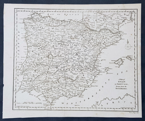
1790 Aaron Arrowsmith Original Antique Map of Spain, Portugal & Balearic Islands
- Title : A Map of Spain & Portugal Drawn from the Best Authorities
- Size: 11 1/2in x 9 1/2in (290mm x 245mm)
- Ref #: 30218
- Date : 1790
- Condition: (A+) Fine Condition
Description:
This fine original copper-plate engraved antique map by Aaron Arrowsmith was published in the 1790 edition of Cruttwells Atlas, to his GazetterJohn Arrowsmithaaron Arrowsmith
General Definitions:
Paper thickness and quality: - Heavy and stable
Paper color : - off white
Age of map color: -
Colors used: -
General color appearance: -
Paper size: - 11 1/2in x 9 1/2in (290mm x 245mm)
Plate size: - 11 1/2in x 9 1/2in (290mm x 245mm)
Margins: - Min 1/2in (12mm)
Imperfections:
Margins: - None
Plate area: - Folds as issued
Verso: - None