Welcome to Classical Images!
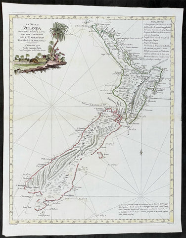
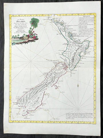
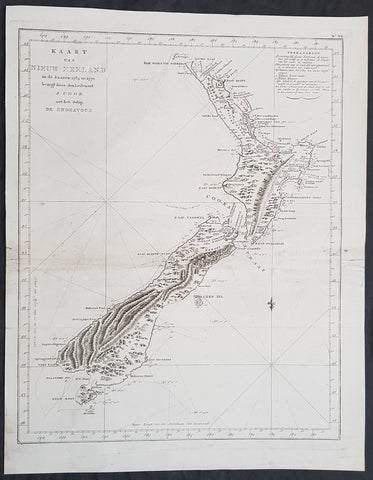
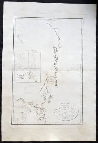
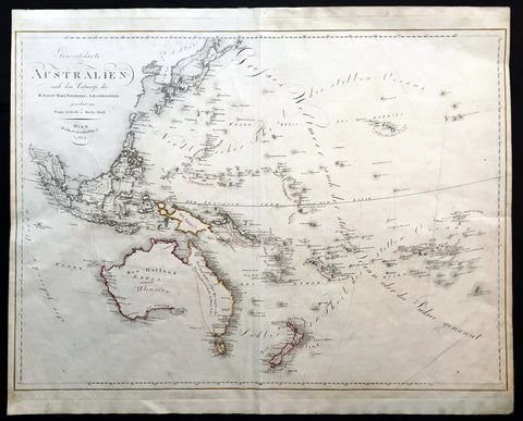
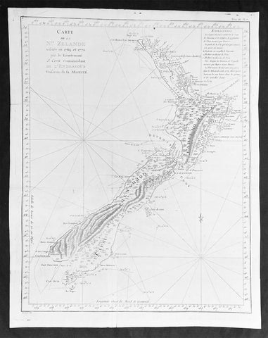
Description:This fine beautifully hand coloured original antique map of the east coast of Australia, New Zealand and the Solomon Islands - with inset maps of Lord Howe Island, Norfolk Island & Port Jackson - was published in 1808 by Robert Wilkinson - the date is included in the title - in his wideley acclaimed General Atlas of the World published between 1794 and 1816.This is a finely engraved copper-plate map with beautiful original hand colouring on strong stable paper. (Ref: Tooley; M&B)
General Description: Paper thickness and quality: - Heavy and stable Paper color: - off white Age of map color: - Original Colors used: - Yellow, green, pink, blue General color appearance: - Authentic Paper size: - 13in x 11in (330mm x 280mm) Plate size: - 12 1/2in x 10in (320mm x 255mm) Margins: - Min 1/2in (12mm) Imperfections: Margins: - None Plate area: - None Verso: - None