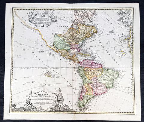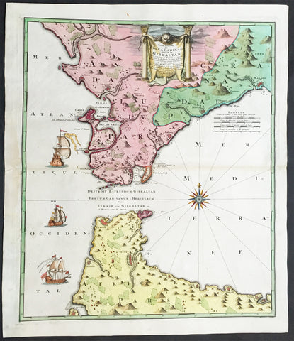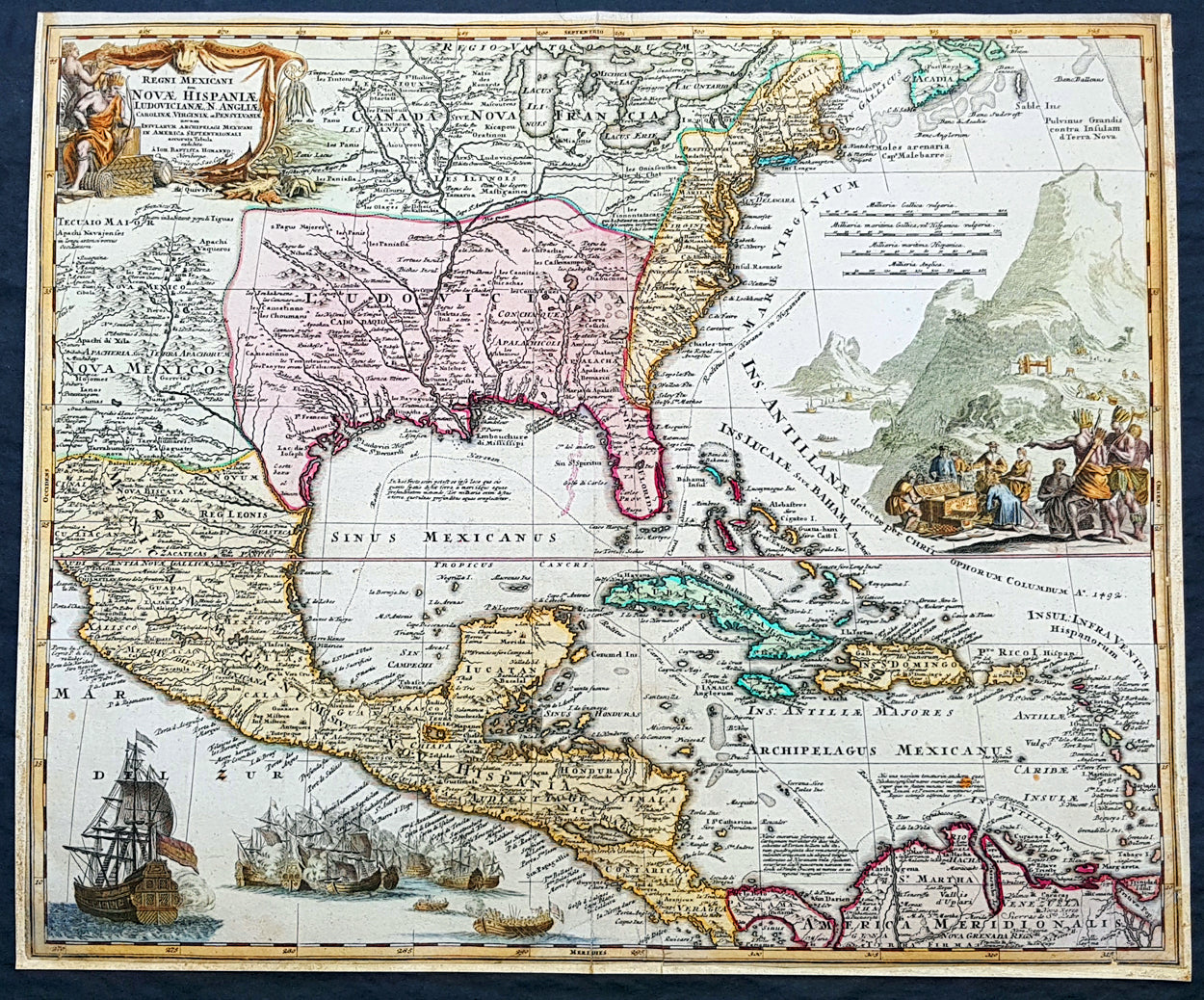
Related Products
Sold
Sold
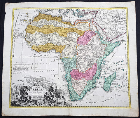
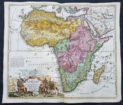
1715 J B Homann Large 1st Edition Antique Map of Africa
$1,250.00 USD
Sold
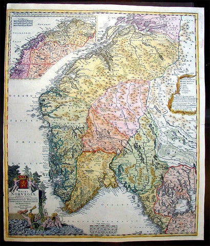
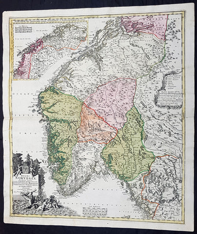
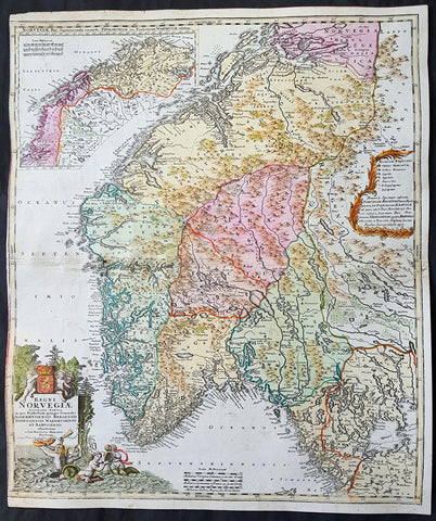
1720 Homann Large Antique Map of Norway
$650.00 USD
Sold
Sold
Sold
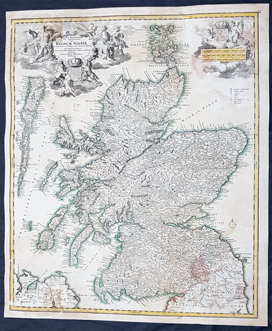
1720 JB Homann Large Antique Map of Scotland
$325.00 USD