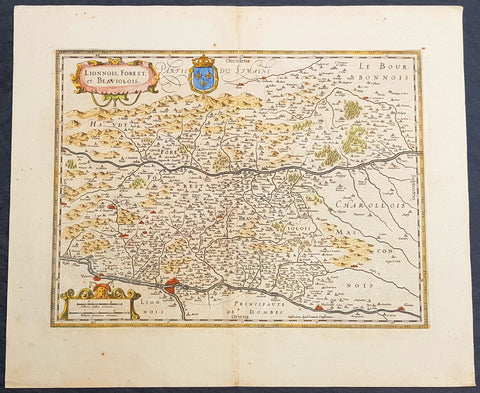
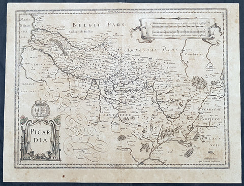
Welcome to Classical Images!
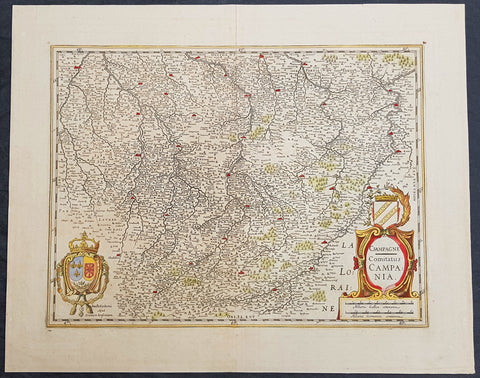
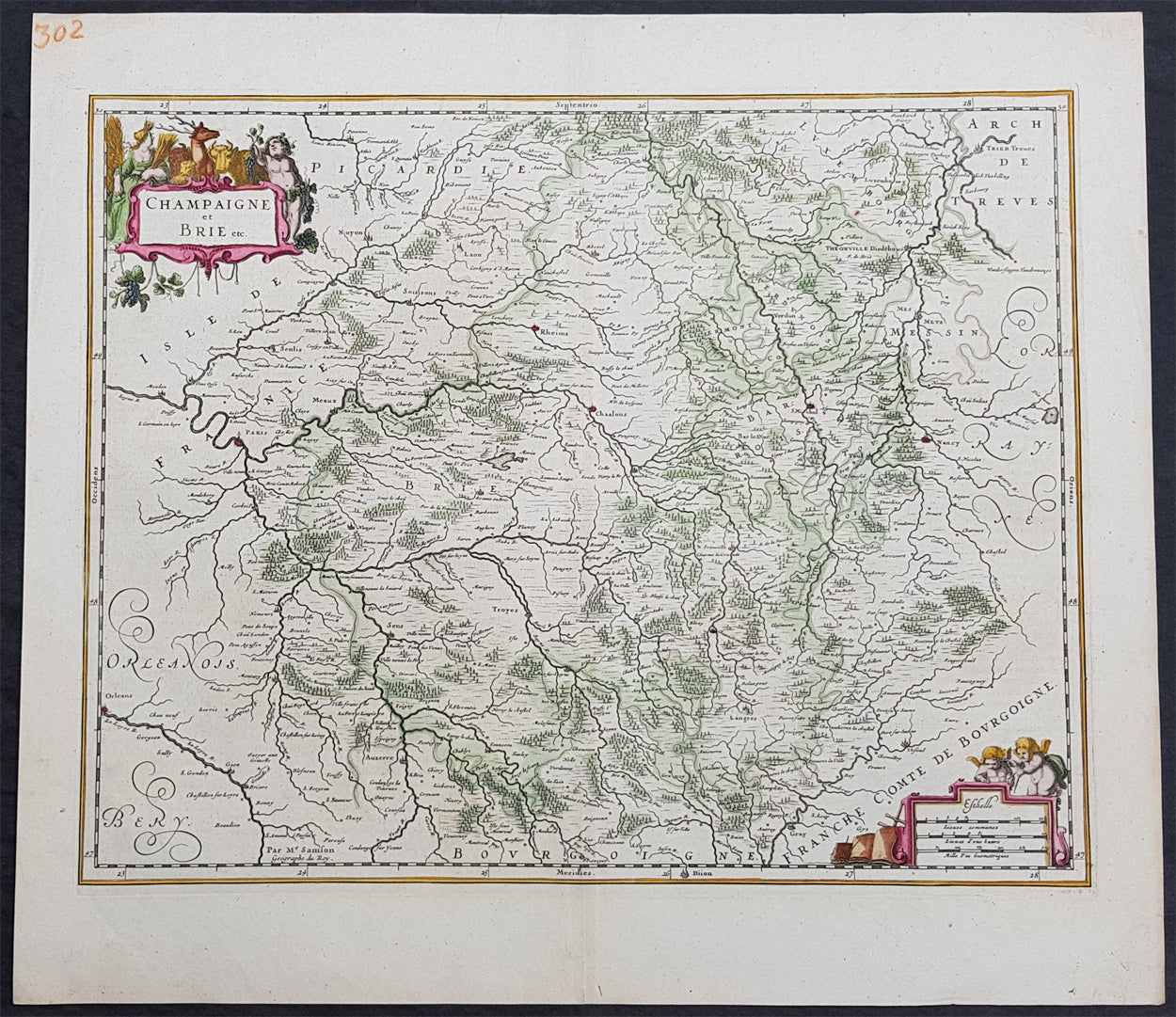
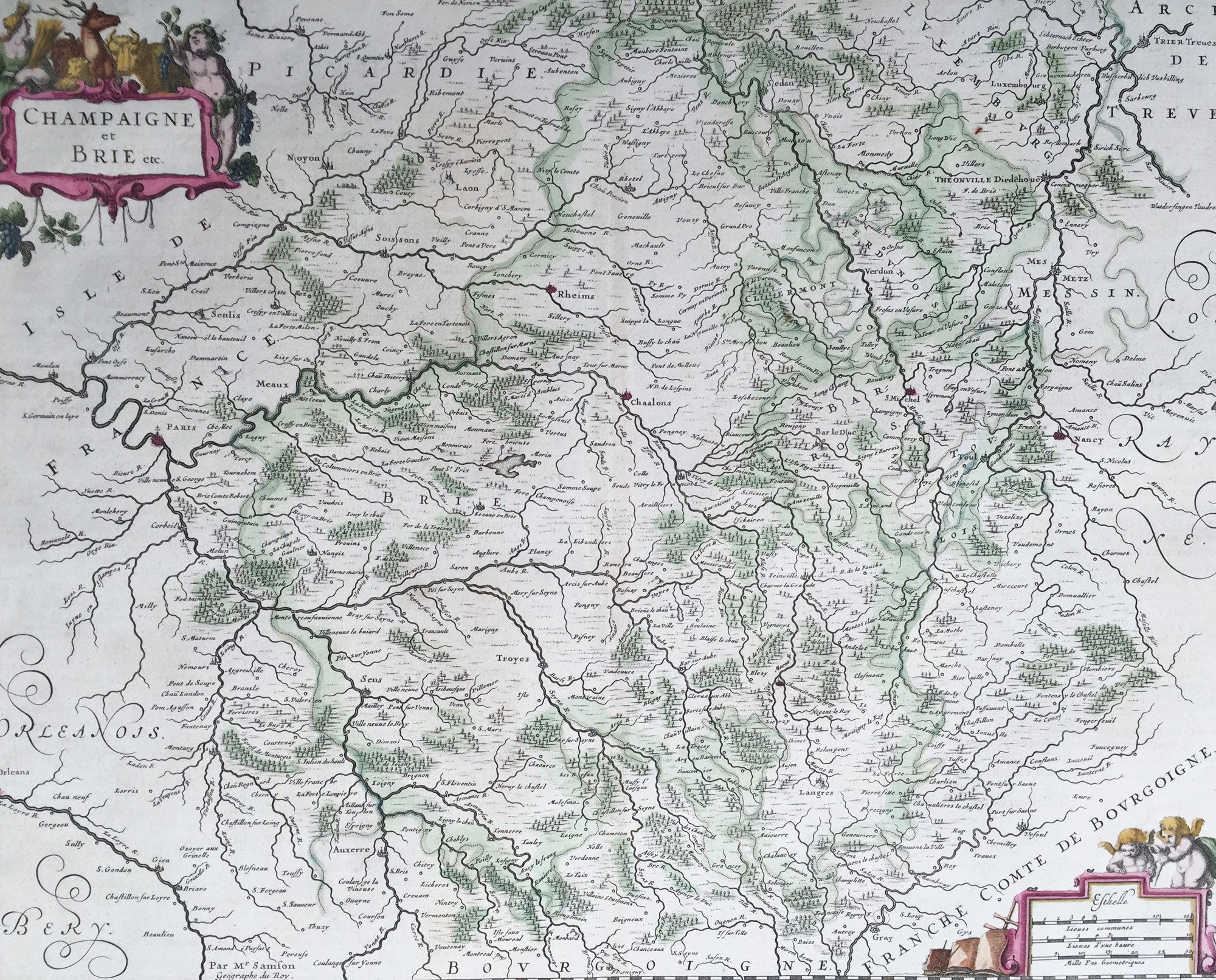
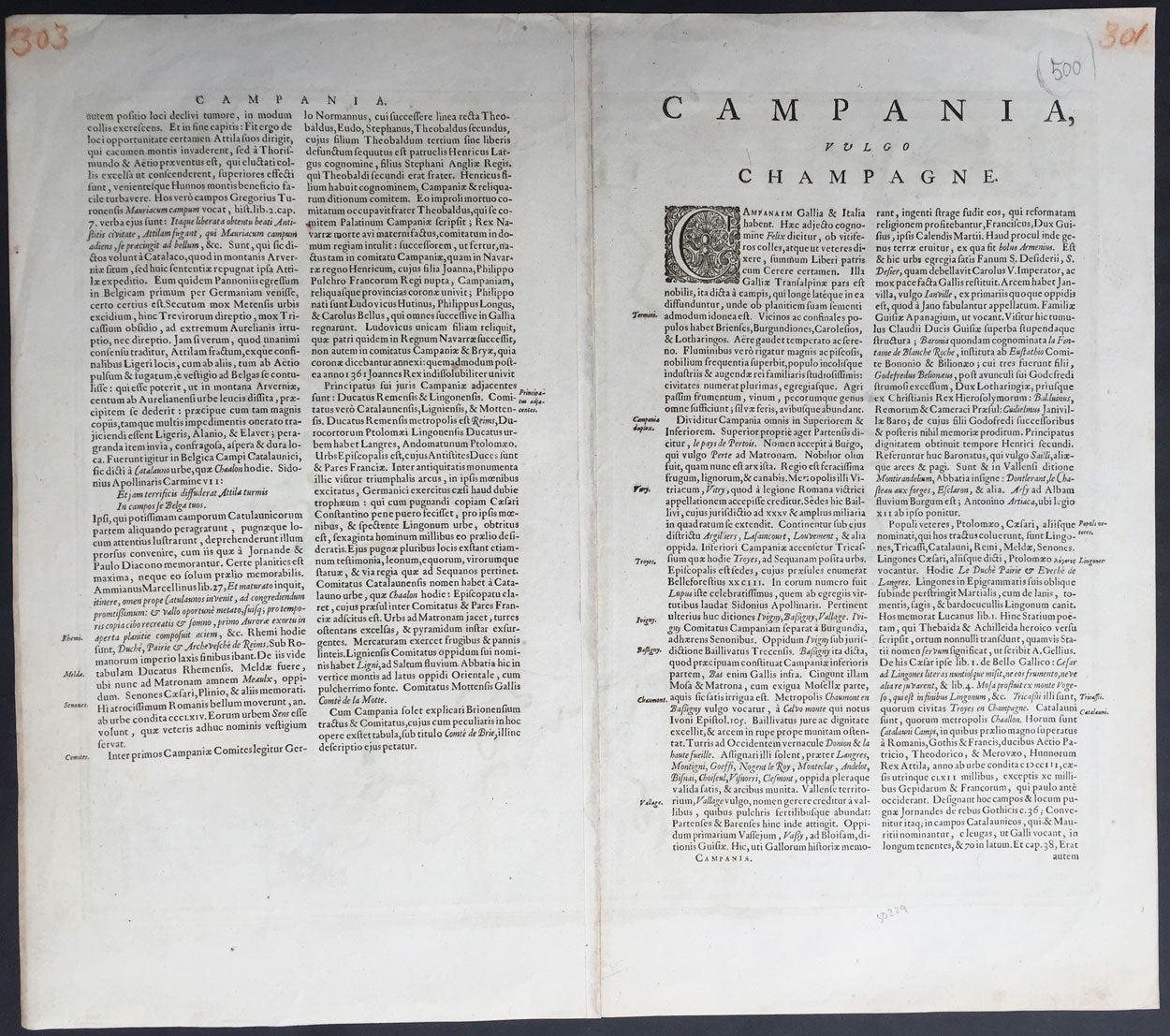
Description:This beautifully hand coloured original copper-plate engraved antique map of the historic regions of Champagne & Brie in northern France, centering on the city of Rheims by Jan Jansson - after Nicolas Sanson - was published in the 1646 Latin edition of Mercators Atlas by Jan Jansson and Henricus Hondius. (Ref: Tooley, Koeman)
General Definitions:Paper thickness and quality: - Heavy and stablePaper color : - off whiteAge of map color: - OriginalColors used: - Yellow, green, blue, pinkGeneral color appearance: - AuthenticPaper size: - 22 1/2in x 20in (570mm x 505mm)Plate size: - 20in x 16in (510mm x 405mm)Margins: - Min 1in (25mm)
Imperfections:Margins: - NonePlate area: - NoneVerso: - None
Background: Champagne is a historical province in the northeast of France, now best known as the Champagne wine region for the sparkling white wine that bears its name. It was founded in 1065 near the city of Provins and was made up of different counties descended from the early medieval kingdom of Austrasia.Brie is a historic region of northern France. It was once divided into three sections ruled by different feudal lords: the western Brie française, corresponding roughly to the modern department of Seine-et-Marne in the Île-de-France region; the eastern Brie champenoise, forming a portion of the modern department of Marne in the historic region of Champagne (part of modern-day Grand Est); and the northern Brie pouilleuse, forming part of the modern department of Aisne in Picardy.