Welcome to Classical Images!
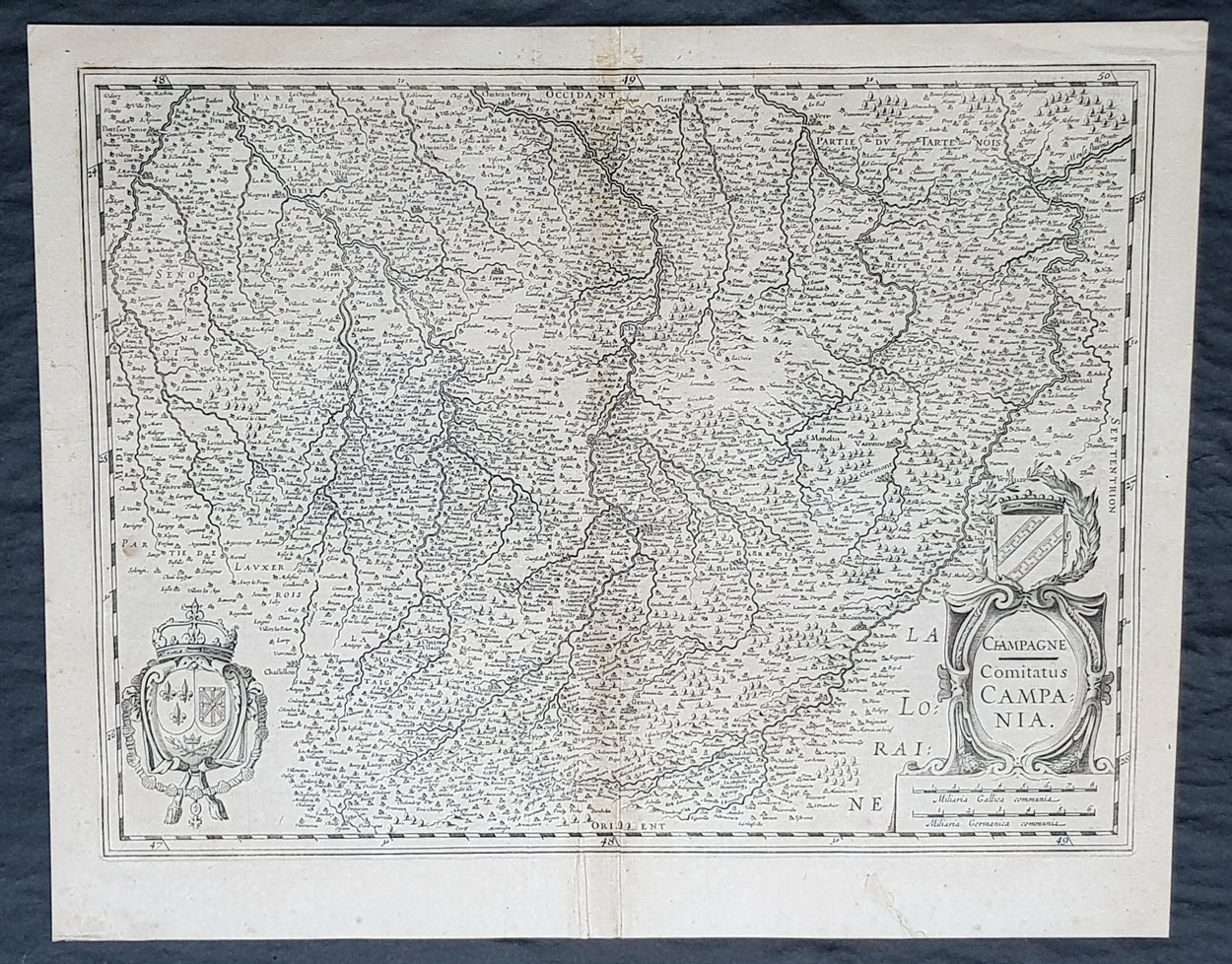
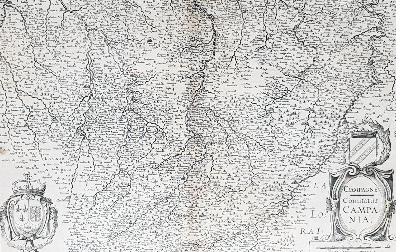
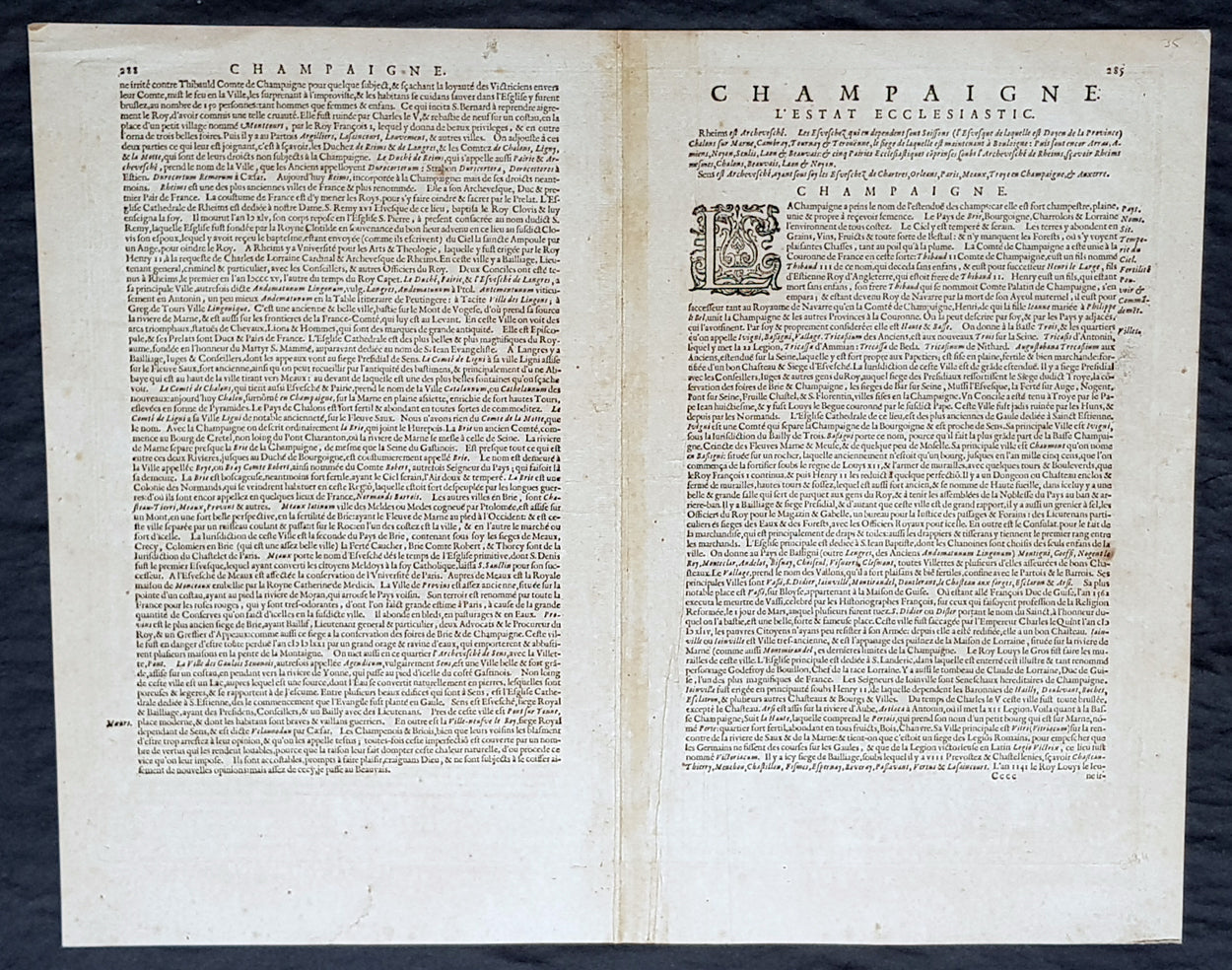
Description:This original copper plate engraved antique map of the French region of Champagne by Gerard Mercator was published by Henricus Hondius in the early 1628 French edition of Gerard Mercators Atlas.These maps, published in the early editions of Mercators atlas, are the original maps drawn and engraved by Gerald Mercator in the mid to late 16th century, published by his son Rumold as an atlas, after his death, in 1595. After two editions the plates were purchased by Jodocus Hondius in 1604, and continued to be published until the end of the 1630s by Henricus Hondius, when some of the plates were re-engraved and updated with the help of Jan Jansson.
General Definitions:Paper thickness and quality: - Heavy and stablePaper color : - off whiteAge of map color: -Colors used: -General color appearance: -Paper size: - 21in x 17in (530mm x 430mm)Plate size: - 18 1/2in x 14in (475mm x 350mm)Margins: - Min 1/2in (12mm)
Imperfections:Margins: - Light age toningPlate area: - Light toning along centerfoldVerso: - Light age toning
1628 Gerard Mercator & Henricus Hondius Antique Map, Champagne Region of France