Welcome to Classical Images!
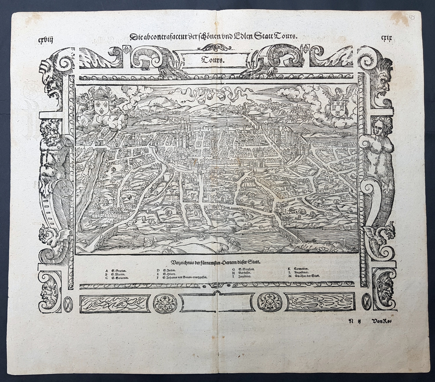
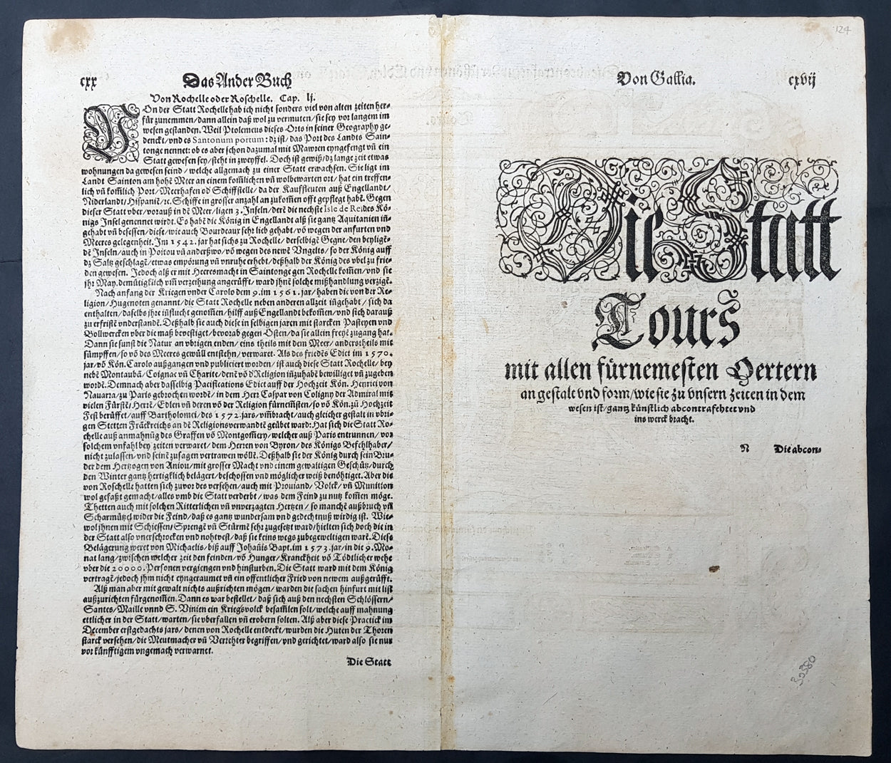
Description: This large finely engraved original antique print a view of the French city of Tours was published by Sebastian Munster in the 1598 edition of Cosmographia. Tours is a city located in the centre-west of France. It is the administrative centre of the Indre-et-Loire department and the largest city in the Centre-Val de Loire region of France (although it is not the capital, which is the region's second-largest city, Orléans). Tours stands on the lower reaches of the River Loire, between Orléans and the Atlantic coast. The surrounding district, the traditional province of Touraine, is known for its wines, for the alleged perfection (as perceived by some speakers) of its local spoken French, and for the Battle of Tours (732).
General Definitions:
Paper thickness and quality: - Heavy and stable Paper color : - off white Age of map color: - Colors used: - General color appearance: - Paper size: - 15in x 13in (380mm x 330mm) Plate size: - 15in x 13in (380mm x 330mm) Margins: - Min 1/2in (12mm)
Imperfections:
Margins: - None Plate area: - None Verso: - None
Background: For a variety of reasons town plans were comparatively latecomers in the long history of cartography. Few cities in Europe in the middle ages had more than 20,00 inhabitants and even London in the late Elizabethan period had only 100-150,000 people which in itself was probably 10 times that of any other English city. The Nuremberg Chronicle in 1493 included one of the first town views of Jerusalem, thereafter, for most of the sixteenth century, German cartographers led the way in producing town plans in a modern sense. In 1544 Sebastian Munster issued in Basle his Cosmographia containing roughly sixty-six plans and views, some in the plan form, but many in the old panorama or birds eye view..