Welcome to Classical Images!
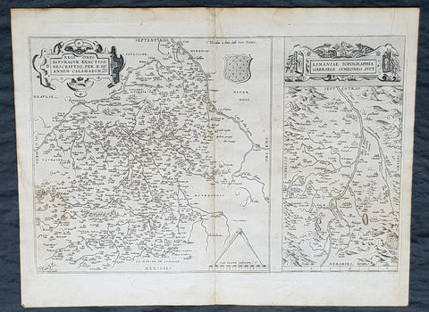
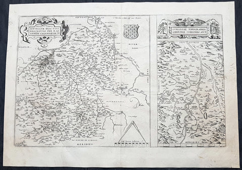
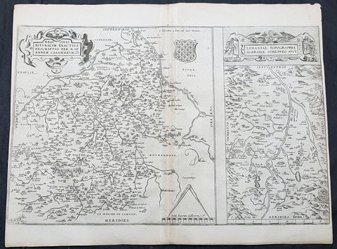
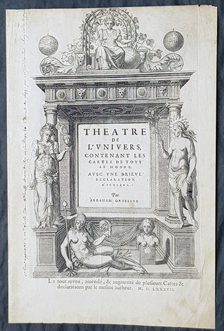
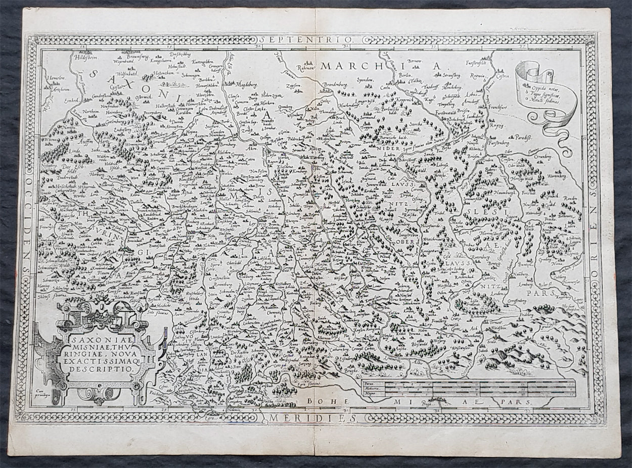
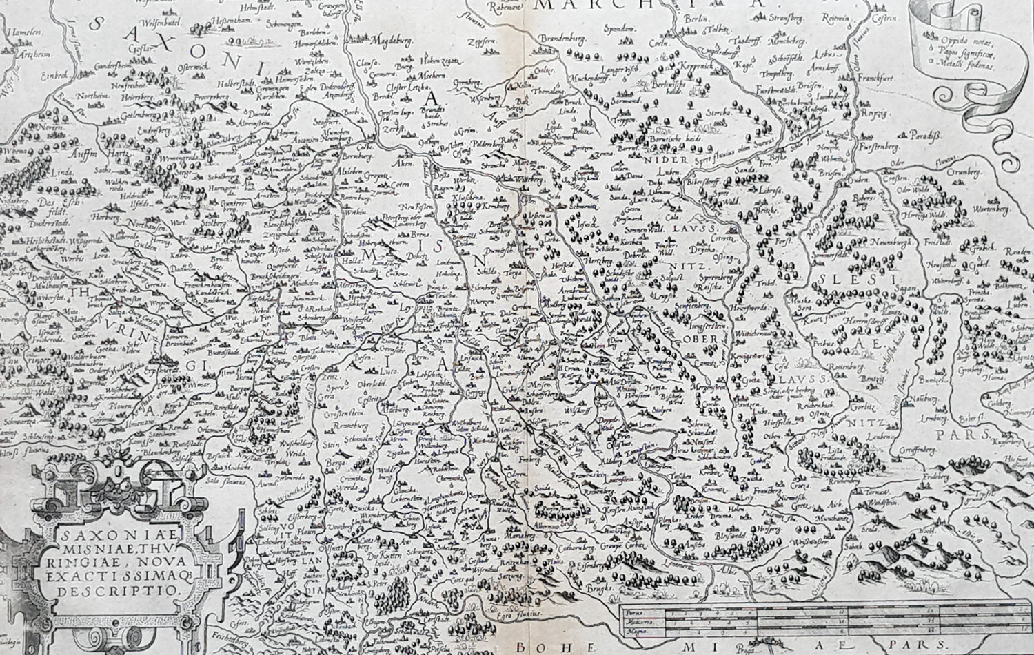
Description:These original copper-plate engraved antique map of the Obersachsen, Meissen and Thuringen regions of Germany was published in the 1575 French edition of Abraham Ortelius Atlas Theatrum Orbis Terrarum.
General Definitions:Paper thickness and quality: - Heavy and stablePaper color : - off whiteAge of map color: -Colors used: -General color appearance: -Paper size: - 20 1/2in x 15 1/2in (520mm x 390mm)Plate size: - 20in x 13 1/2in (510mm x 345mm)Margins: - Min 1/4in (4mm)
Imperfections:Margins: - Light soilingPlate area: - NoneVerso: - Soiling
Background: Ortelius regional map of Germany, showing the area between Berlin and Braunschweig in the north, to Prague in the south and Silesia in the east. With Chemnitz, Dresden, Leipzig, Wittenberg and Erfurt