Related Products
Sold
Sold
Sold
Sold
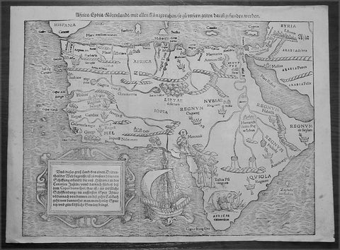
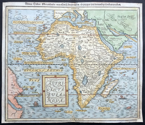
1560 Sebastian Munster Antique Map of Africa
$1,499.00 USD
Sold
Sold
Sold
1588 Munster Antique Map of Africa
$750.00 USD