Welcome to Classical Images!
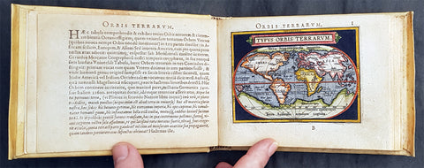
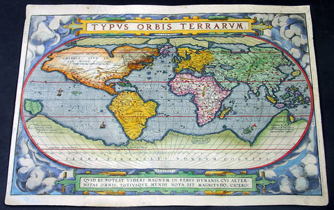
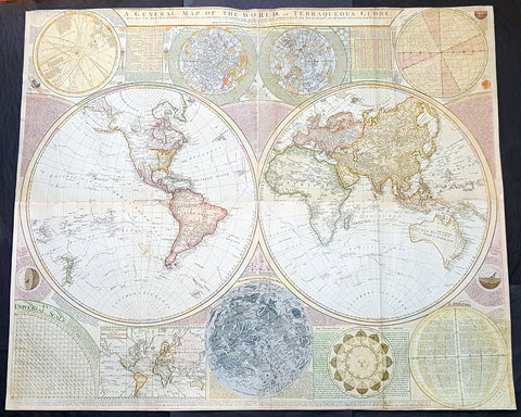
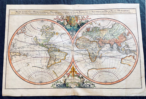
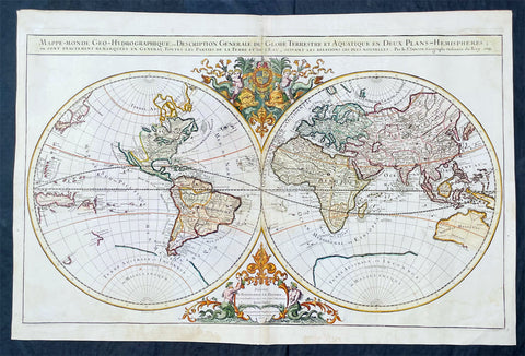
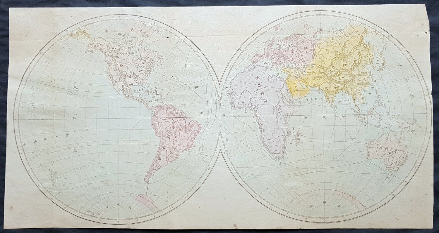
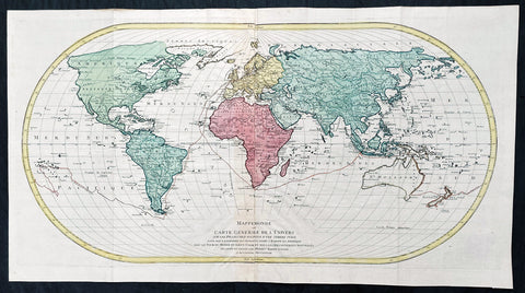
Description:This scarce, original antique Chinese Twin Hemisphere World Map - with global trade routes to and from China - was published ca 1850.
General Definitions:Paper thickness and quality: - Heavy and stablePaper color : - off whiteAge of map color: - OriginalColors used: - Yellow, green, blue, pinkGeneral color appearance: - AuthenticPaper size: - 18in x 9 1/2in (460mm x 240mm)Plate size: - 18in x 9 1/2in (460mm x 240mm)Margins: - Min 1/2in (12mm)
Imperfections:Margins: - NonePlate area: - NoneVerso: - None
Chinese CartographyThe earliest known maps to have survived in China date to the 4th century BC. In 1986, seven ancient Chinese maps were found in an archeological excavation of a Qin State tomb in what is now Fangmatan, in the vicinity of Tianshui City, Gansu province. Before this find, the earliest extant maps that were known came from the Mawangdui Han tomb excavation in 1973, which found three maps on silk dated to the 2nd century BC in the early Han Dynasty. The 4th century BC maps from the State of Qin were drawn with black ink on wooden blocks. These blocks fortunately survived in soaking conditions due to underground water that had seeped into the tomb; the quality of the wood had much to do with their survival. After two years of slow-drying techniques, the maps were fully restored.The territory shown in the seven Qin maps overlap each other. The maps display tributary river systems of the Jialing River in Sichuan province, in a total measured area of 107 by 68 km. The maps featured rectangular symbols encasing character names for the locations of administrative counties. Rivers and roads are displayed with similar line symbols; this makes interpreting the map somewhat difficult, although the labels of rivers placed in order of stream flow are helpful to modern day cartographers.–93 These maps also feature locations where different types of timber can be gathered, while two of the maps state the distances in mileage to the timber sites. In light of this, these maps are perhaps the oldest economic maps in the world since they predate Strabo\\\'s economic maps.In addition to the seven maps on wooden blocks found at Tomb 1 of Fangmatan, a fragment of a paper map was found on the chest of the occupant of Tomb 5 of Fangmatan in 1986. This tomb is dated to the early Western Han, so the map dates to the early 2nd century BC. The map shows topographic features such as mountains, waterways and roads, and is thought to cover the area of the preceding Qin Kingdom.In China, the earliest known geographical Chinese writing dates back to the 5th century BC, during the beginning of the Warring States (481–221 BC). This was the Yu Gong or Tribute of Yu chapter of the Shu Jing or Book of Documents. The book describes the traditional nine provinces, their kinds of soil, their characteristic products and economic goods, their tributary goods, their trades and vocations, their state revenues and agricultural systems, and the various rivers and lakes listed and placed accordingly. The nine provinces in the time of this geographical work were very small in size compared to their modern Chinese counterparts. The Yu Gong\\\'s descriptions pertain to areas of the Yellow River, the lower valleys of the Yangtze, with the plain between them and the Shandong Peninsula, and to the west the most northern parts of the Wei River and the Han River were known (along with the southern parts of modern-day Shanxi province)The oldest reference to a map in China comes from the 3rd century BC. This was the event of 227 BC where Crown Prince Dan of Yan had his assassin Jing Ke visit the court of the ruler of the State of Qin, who would become Qin Shi Huang (r. 221–210 BC). Jing Ke was to present the ruler of Qin with a district map painted on a silk scroll, rolled up and held in a case where he hid his assassin\\\'s dagger.Handing to him the map of the designated territory was the first diplomatic act of submitting that district to Qin rule.Instead he attempted to kill Qin, an assassination plot that failed. From then on maps are frequently mentioned in Chinese sources.The three Han Dynasty maps found at Mawangdui differ from the earlier Qin State maps. While the Qin maps place the cardinal direction of north at the top of the map, the Han maps are orientated with the southern direction at the top. The Han maps are also more complex, since they cover a much larger area, employ a large number of well-designed map symbols, and include additional information on local military sites and the local population. The Han maps also note measured distances between certain places, but a formal graduated scale and rectangular grid system for maps would not be used—or at least described in full—until the 3rd century (see Pei Xiu below). Among the three maps found at Mawangdui was a small map representing the tomb area where it was found, a larger topographical map showing the Han\\\'s borders along the subordinate Kingdom of Changsha and the Nanyue kingdom (of northern Vietnam and parts of modern Guangdong and Guangxi), and a map which marks the positions of Han military garrisons that were employed in an attack against Nanyue in 181 BC.An early text that mentioned maps was the Rites of Zhou.Although attributed to the era of the Zhou Dynasty, its first recorded appearance was in the libraries of Prince Liu De (c. 130 BC), and was compiled and commented on by Liu Xin in the 1st century AD. It outlined the use of maps that were made for governmental provinces and districts, principalities, frontier boundaries, and even pinpointed locations of ores and minerals for mining facilities.Upon the investiture of three of his sons as feudal princes in 117 BC, Emperor Wu of Han had maps of the entire empire submitted to him.From the 1st century AD onwards, official Chinese historical texts contained a geographical section (Diliji), which was often an enormous compilation of changes in place-names and local administrative divisions controlled by the ruling dynasty, descriptions of mountain ranges, river systems, taxable products, etc. From the time of the 5th century BC Shu Jing forward, Chinese geographical writing provided more concrete information and less legendary element. This example can be seen in the 4th chapter of the Huainanzi (Book of the Master of Huainan), compiled under the editorship of Prince Liu An in 139 BC during the Han Dynasty (202 BC–202 AD). The chapter gave general descriptions of topography in a systematic fashion, given visual aids by the use of maps (di tu) due to the efforts of Liu An and his associate Zuo Wu. In Chang Chu\\\'s Hua Yang Guo Chi (Historical Geography of Szechuan) of 347, not only rivers, trade routes, and various tribes were described, but it also wrote of a \\\'Ba June Tu Jing\\\' (\\\'Map of Szechuan\\\'), which had been made much earlier in 150.Local mapmaking such as the one of Szechuan mentioned above, became a widespread tradition of Chinese geographical works by the 6th century, as noted in the bibliography of the Sui Shu. It is during this time of the Southern and Northern Dynasties that the Liang Dynasty (502–557) cartographers also began carving maps into stone steles (alongside the maps already drawn and painted on paper and silk)In the year 267,Pei Xiu (224–271) was appointed as the Minister of Works by Emperor Wu of Jin, the first emperor of the Jin Dynasty. Pei is best known for his work in cartography. Although map making and use of the grid existed in China before him, he was the first to mention a plotted geometrical grid and graduated scale displayed on the surface of maps to gain greater accuracy in the estimated distance between different locations. Pei outlined six principles that should be observed when creating maps, two of which included the rectangular grid and the graduated scale for measuring distance. Historians compare him to the Greek Ptolemy for his contributions in cartography. However, Howard Nelson states that, although the accounts of earlier cartographic works by the inventor and official Zhang Heng (78–139) are somewhat vague and sketchy, there is ample written evidence that Pei Xiu derived the use of the rectangular grid reference from the maps of Zhang Heng.Later Chinese ideas about the quality of maps made during the Han Dynasty and before stem from the assessment given by Pei Xiu, which was not a positive one. Pei Xiu noted that the extant Han maps at his disposal were of little use since they featured too many inaccuracies and exaggerations in measured distance between locations. However, the Qin State maps and Mawangdui maps of the Han era were far superior in quality than those examined by Pei Xiu. It was not until the 20th century that Pei Xiu\\\'s 3rd century assessment of earlier maps\\\' dismal quality would be overturned and disproven. The Qin and Han maps did have a degree of accuracy in scale and pinpointed location, but the major improvement in Pei Xiu\\\'s work and that of his contemporaries was expressing topographical elevation on maps.In the year 605, during the Sui Dynasty (581–618), the Commercial Commissioner Pei Ju (547–627) created a famous geometrically gridded map. In 610 Emperor Yang of Sui ordered government officials from throughout the empire to document in gazetteers the customs, products, and geographical features of their local areas and provinces, providing descriptive writing and drawing them all onto separate maps, which would be sent to the imperial secretariat in the capital city.The Tang Dynasty (618–907) also had its fair share of cartographers, including the works of Xu Jingzong in 658, Wang Mingyuan in 661, and Wang Zhongsi in 747. Arguably the greatest geographer and cartographer of the Tang period was Jia Dan (730–805), whom Emperor Dezong of Tang entrusted in 785 to complete a map of China with her recently former inland colonies of Central Asia, the massive and detailed work completed in 801, called the Hai Nei Hua Yi Tu (Map of both Chinese and Barbarian Peoples within the (Four) Seas). The map was 30 ft long (9.1 m) and 33 ft high (10 m) in dimension, mapped out on a grid scale of 1-inch (25 mm) equaling 100 li (unit) (the Chinese equivalent of the mile/kilometer). Jia Dan is also known for having described the Persian Gulf region with great detail, along with lighthouses that were erected at the mouth of the Persian Gulf by the medieval Iranians in the Abbasid period (refer to article on Tang Dynasty for more).During the Song Dynasty (960–1279) Emperor Taizu of Song ordered Lu Duosun in 971 to update and \\\'re-write all the Tu Jing in the world\\\', which would seem to be a daunting task for one individual, who was sent out throughout the provinces to collect texts and as much data as possible. With the aid of Song Zhun, the massive work was completed in 1010, with some 1566 chapters. The later Song Shi historical text stated (Wade-Giles spelling):........Yuan Hsieh (d. +1220) was Director-General of governmental grain stores. In pursuance of his schemes for the relief of famines he issued orders that each pao (village) should prepare a map which would show the fields and mountains, the rivers and the roads in fullest detail. The maps of all the pao were joined together to make a map of the tu (larger district), and these in turn were joined with others to make a map of the hsiang and the hsien (still larger districts). If there was any trouble about the collection of taxes or the distribution of grain, or if the question of chasing robbers and bandits arose, the provincial officials could readily carry out their duties by the aid of the maps.....Like the earlier Liang Dynasty stone-stele maps (mentioned above), there were large and intricately carved stone stele maps of the Song period. For example, the 3 ft (0.91 m) squared stone stele map of an anonymous artist in 1137, following the grid scale of 100 li squared for each grid square. :Plate LXXXI What is truly remarkable about this map is the incredibly precise detail of coastal outlines and river systems in China (refer to Needham\\\'s Volume 3, Plate LXXXI for an image). The map shows 500 settlements and a dozen rivers in China, and extends as far as Korea and India. On the reverse, a copy of a more ancient map uses grid coordinates in a scale of 1:1,500,000 and shows the coastline of China with great accuracy.The famous 11th century scientist and polymath statesman Shen Kuo (1031–1095) was also a geographer and cartographer. His largest atlas included twenty three maps of China and foreign regions that were drawn at a uniform scale of 1:900,000. Shen also created a three-dimensional raised-relief map using sawdust, wood, beeswax, and wheat paste, while representing the topography and specific locations of a frontier region to the imperial court. Shen Kuo\\\'s contemporary, Su Song (1020–1101), was a cartographer who created detailed maps in order to resolve a territorial border dispute between the Song Dynasty and the Liao Dynasty.The Da Ming hunyi tu map, dating from about 1390, is in multicolour. The horizontal scale is 1:820,000 and the vertical scale is 1:1,060,000.In 1579, Luo Hongxian published the Guang Yutu atlas, including more than 40 maps, a grid system, and a systematic way of representing major landmarks such as mountains, rivers, roads and borders. The Guang Yutu incorporates the discoveries of naval explorer Zheng He\\\'s 15th century voyages along the coasts of China, Southeast Asia, India and Africa. The Mao Kun map published in 1628 is thought to be based on a strip map dated to the voyages of Zheng He.From the 16th and 17th centuries, several examples survive of maps focused on cultural information. Gridlines are not used on either Yu Shi\\\'s Gujin xingsheng zhi tu (1555) or Zhang Huang\\\'s Tushu bian (1613); instead, illustrations and annotations show mythical places, exotic foreign peoples, administrative changes and the deeds of historic and legendary heroes. Also in the 17th century, an edition of a possible Tang Dynasty map shows clear topographical contour lines. Although topographic features were part of maps in China for centuries, a Fujian county official Ye Chunji (1532–1595) was the first to base county maps using on-site topographical surveying and observations.The Korean made Kangnido based on two Chinese maps, which describes the Old World.After the 1949 revolution, the Institute of Geography under the aegis of the Chinese Academy of Sciences became responsible for official cartography and emulated the Soviet model of geography throughout the 1950s. With its emphasis on fieldwork, sound knowledge of the physical environment and the interrelation between physical and economic geography, the Russian influence counterbalanced the many pre-liberation Western-trained Chinese geography specialists who were more interested in the historical and culture aspects of cartography. As a consequence, China\\\'s main geographical journal, the Dili Xuebao (地理学报) featured many articles by Soviet geographers. As Soviet influence waned in the 1960s, geographic activity continued as part of the process of modernisation until it came to a stop with the 1967 Cultural Revolution.