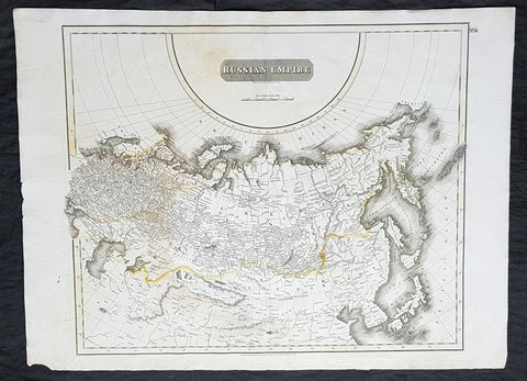
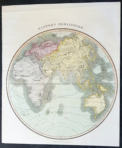
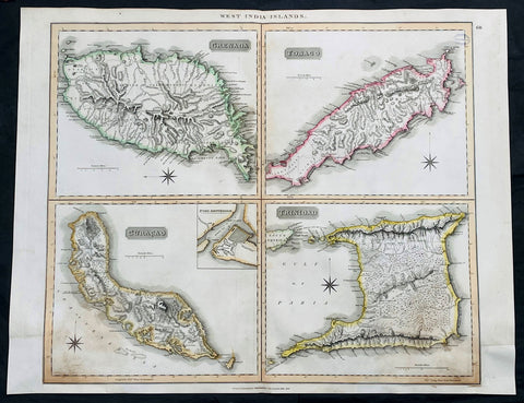
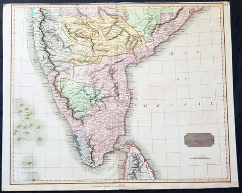
Welcome to Classical Images!
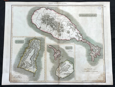
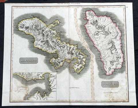
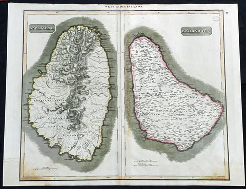
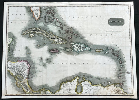
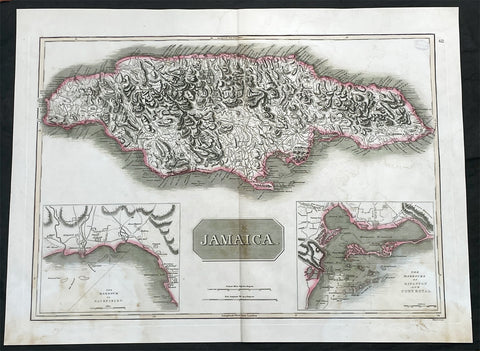
Description:This large original, beautifully hand coloured copper plate engraved antique map of the Caribbean Islands was published by John Thomson in his large elephant folio 1817 edition of A New General Atlas of the World. (Ref Tooley M&B)
General Definitions:Paper thickness and quality: - Heavy and stablePaper color : - off whiteAge of map color: - OriginalColors used: - Yellow, green, blue, pinkGeneral color appearance: - AuthenticPaper size: - 27in x 21in (685mm x 535mm)Plate size: - 27in x 21in (685mm x 535mm)Margins: - Min 1/2in (12mm)
Imperfections:Margins: - Bottom L&R margins extended from borders, not affecting the imagePlate area: - Light age toning, small library stamp to rightVerso: - Age toning