Welcome to Classical Images!
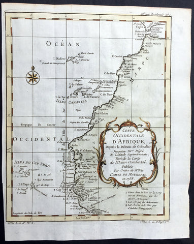
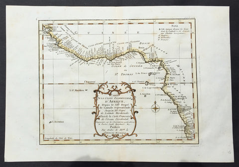
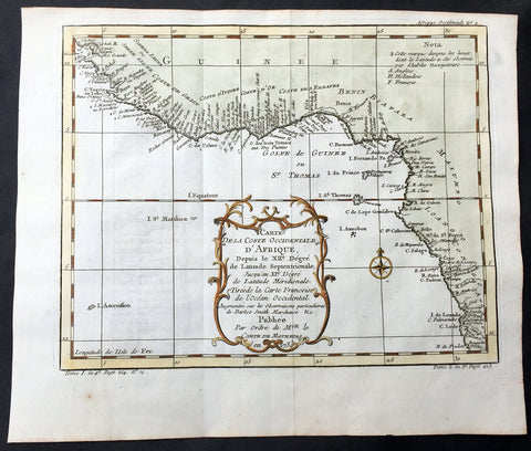
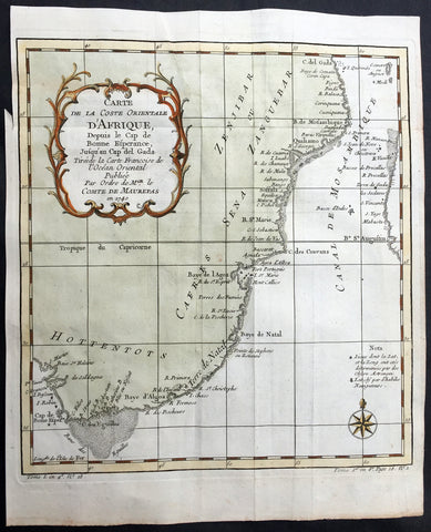
Description:This fine, beautifully hand coloured original antique map of the Colonial United States, North America west to the mainly French possessions of Louisiana and further again to the Spanish possessions in Texas and New Mexico, was engraved in 1757 - the date is engraved in the title - and was published by Jacques Nicolas Bellin for Antoine-François Prevosts 20 volume edition of L`Histoire Generale des Voyages published by Pierre de Hondt, The Hague between 1747 & 1785. Background: The map includes parts of the original 13 colonies from the Carolinas to Georgia and stretches north from the great Lakes to Florida and west to Texas & the Spanish territories. A great map published on the cusp of huge changes in North America. (Ref: Tooley; M&B)
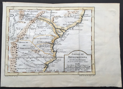
General Description: Paper thickness and quality: - Heavy and stable Paper color: - white Age of map color: - Early Colors used: - Green, yellow, red General color appearance: - Authentic Paper size: - 15 1/2in x 10 1/2in (395mm x 265mm) Plate size: - 12 1/2in x 9 1/2in (320mm x 230mm) Margins: - min. 1/2in (12mm)
Imperfections: Margins: - None Plate area: - None Verso: - None